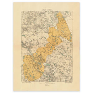

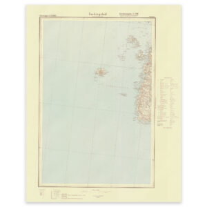
 Karmøy 1940
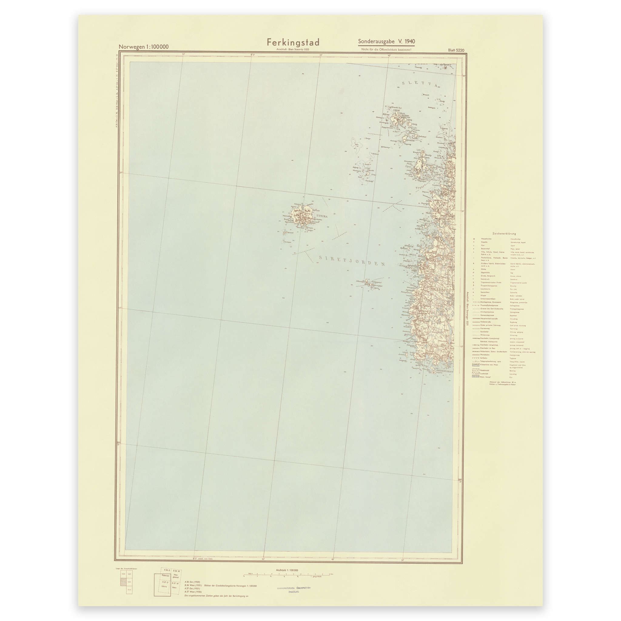

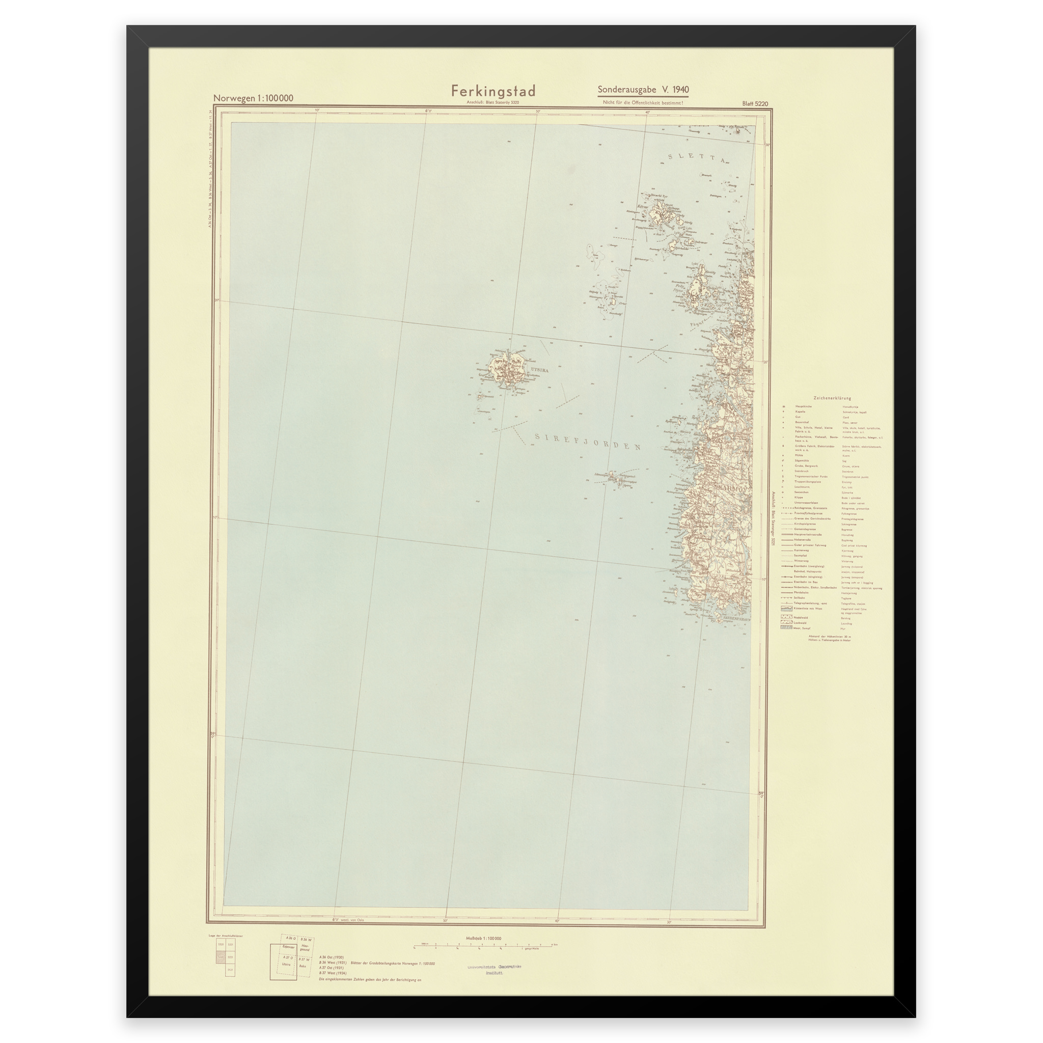
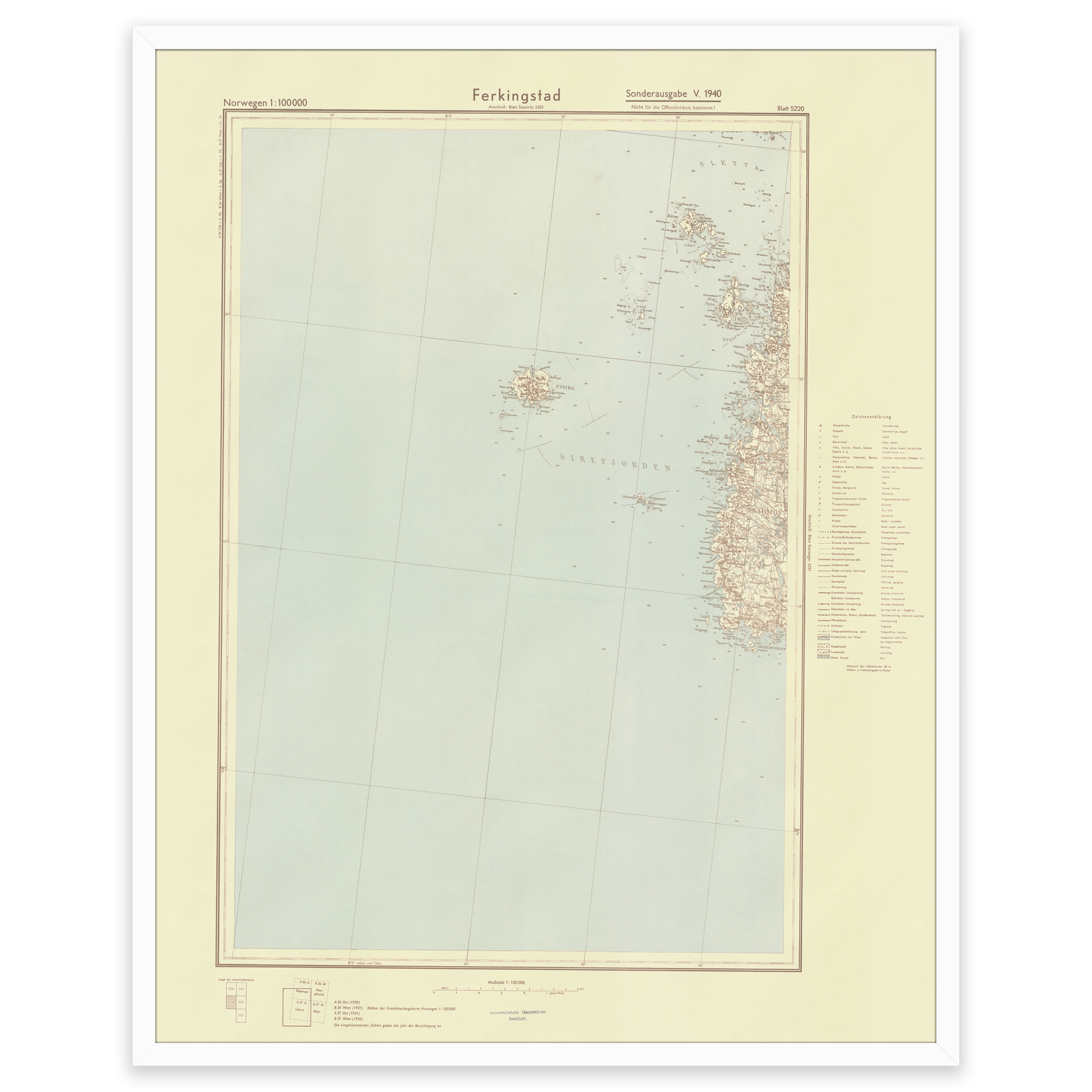
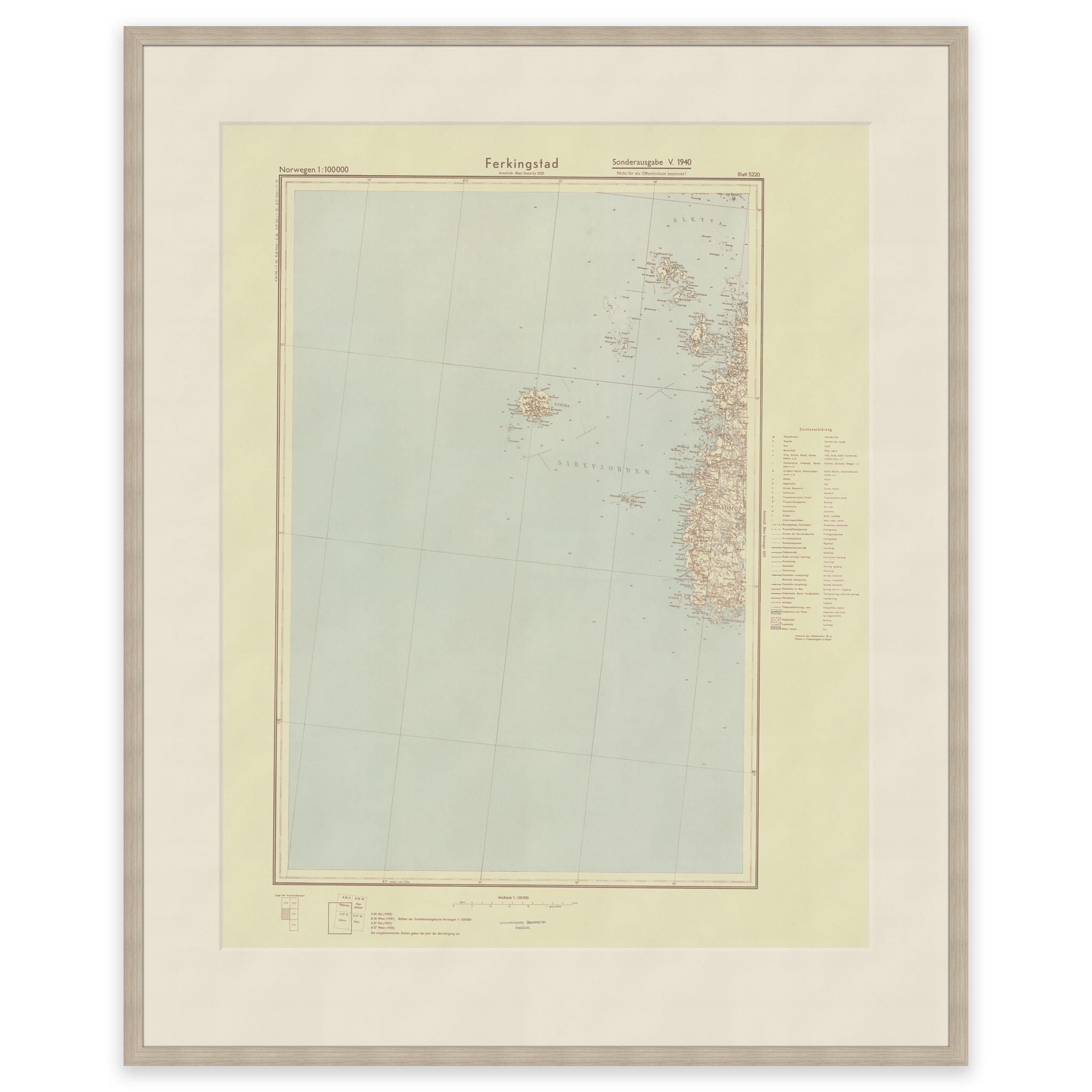
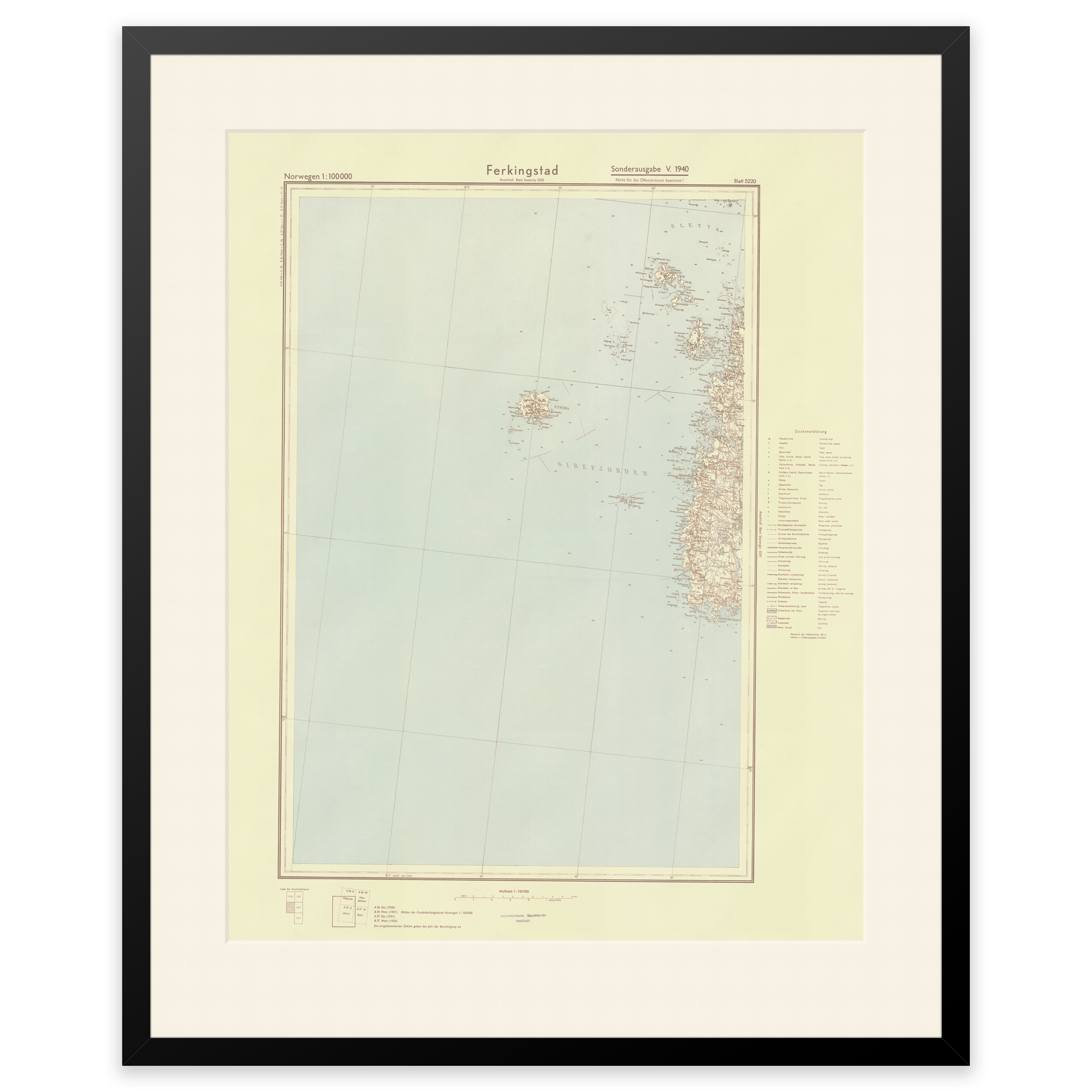
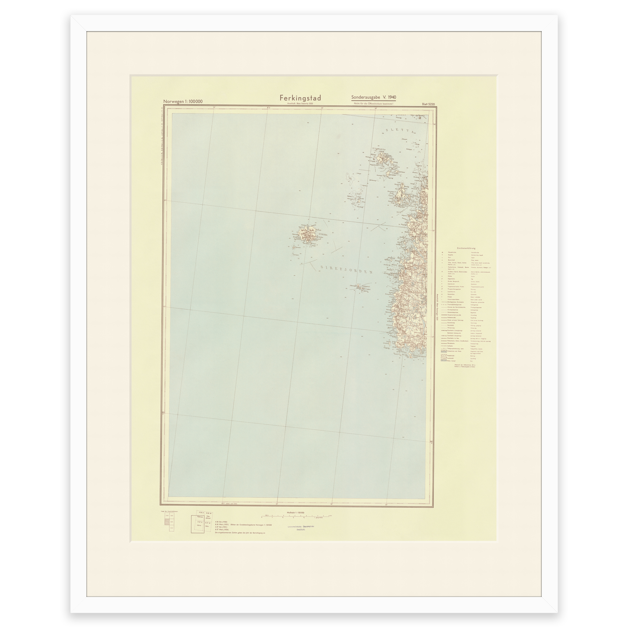

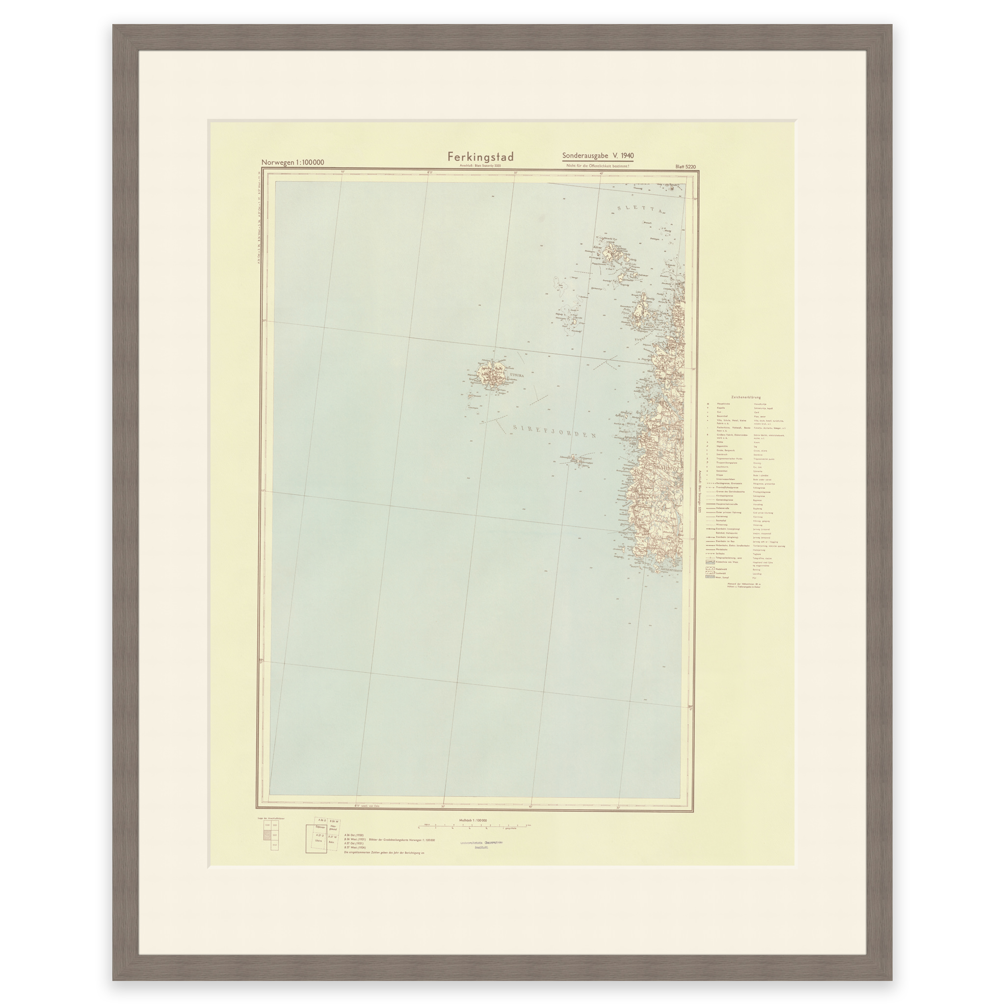
Karmøy 1940
Map from 1940 of the west side of Karmøy. The map covers the area Skudeneshavn, Utsira and Røvær. The original size of the map is 99.3 x 58.4 cm. The size with frame and passepartout is 119.3 x 80.4 cm. Would you like the map in a different size? Just get in touch – we’ll be happy to give you a quote for customization.