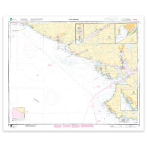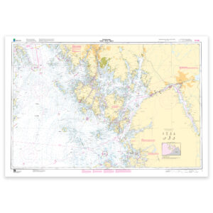
Description
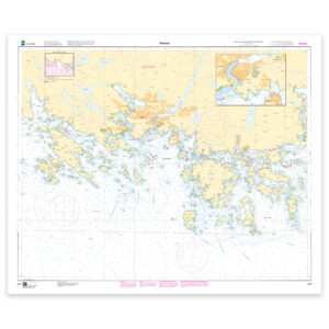
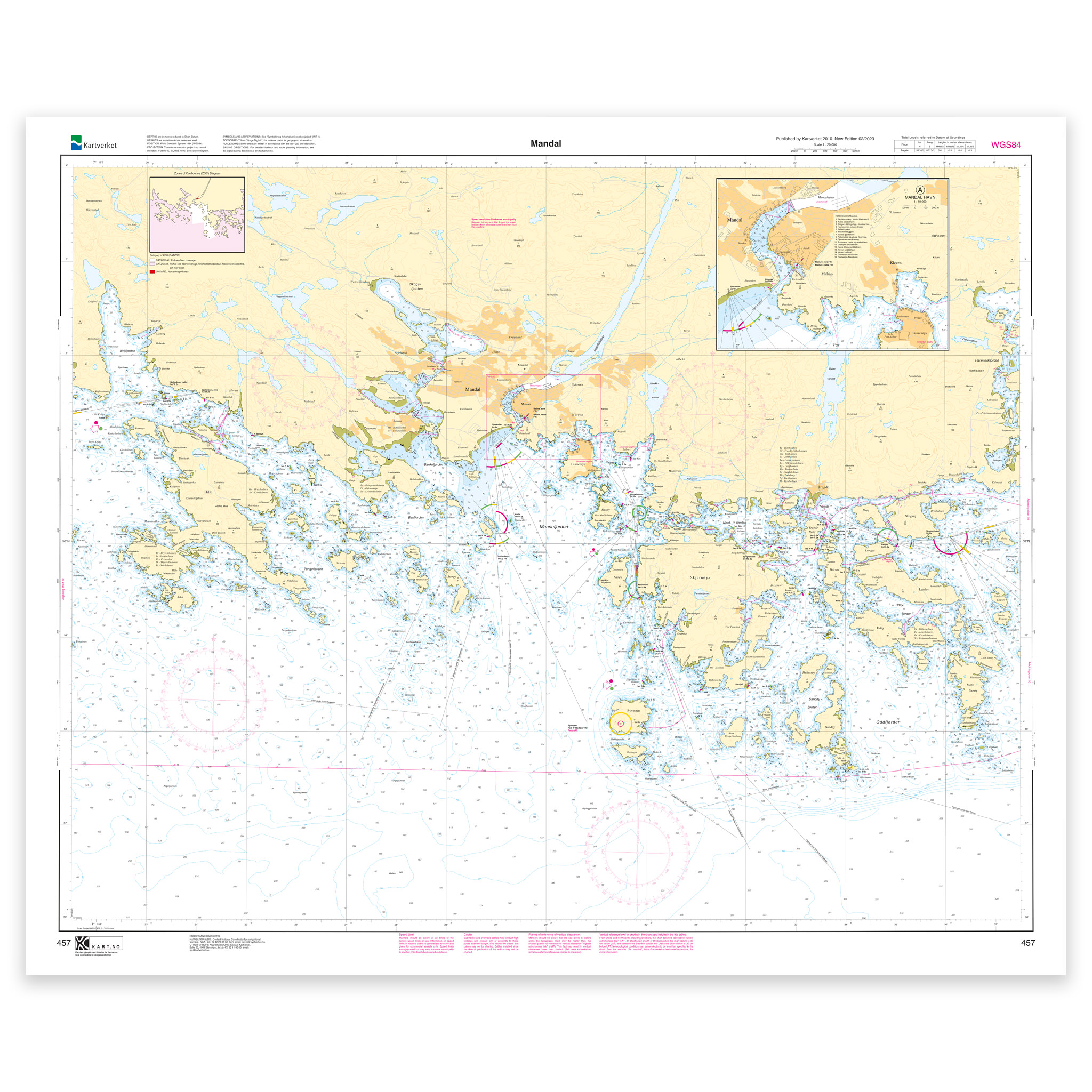
Nautical chart covering the waters of Mandal harbor. Map sheet 457 in the Norwegian Mapping Authority’s harbor map series. The map is 86 x 106 cm and has a scale of 1:20,000. Can also be delivered on a plate or framed. Size with passepartout and frame is 107 x 126 cm.
For the waters around Mandal harbor, this chart is a solid tool for both planning and safe navigation. The coverage is particularly useful if you are looking for charts for this particular area and want a clear overview of local waters and nearby coastlines.
Map sheet 457 in the Norwegian Mapping Authority’s harbor map series. Scale 1:20,000 provides a good balance between level of detail and overview, and the size 86 x 106 cm makes the map practical to use. The map is produced as print-on-demand and is printed when ordered. This means that you get an updated nautical chart based on the latest available data and corrections from the Norwegian Mapping Authority.
The map base is based on official data from the Swedish Mapping Authority, making this a reliable choice for those who want up-to-date nautical charts.
The choice of material can be adapted to the application. 125 gram map paper is thin, matt and space-saving, and is ideal as a spare map. 180-gram chart paper is a carefully selected, matt and sturdy paper that is ideal for active use on board. For rougher conditions, there’s Tyvek, a water- and tear-resistant material that can withstand moisture and hard use. If you want to use the map for walls or framing, cotton-based rag paper is an exclusive alternative with a beautiful structure and very long life.
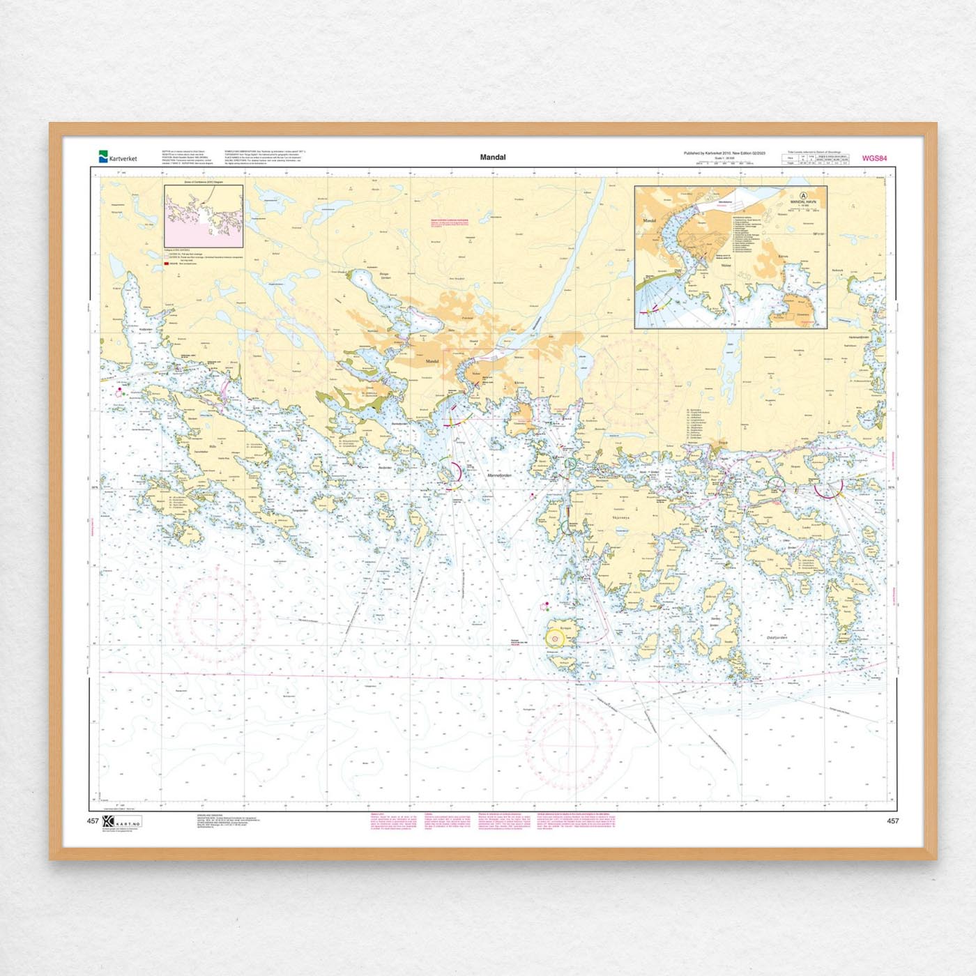
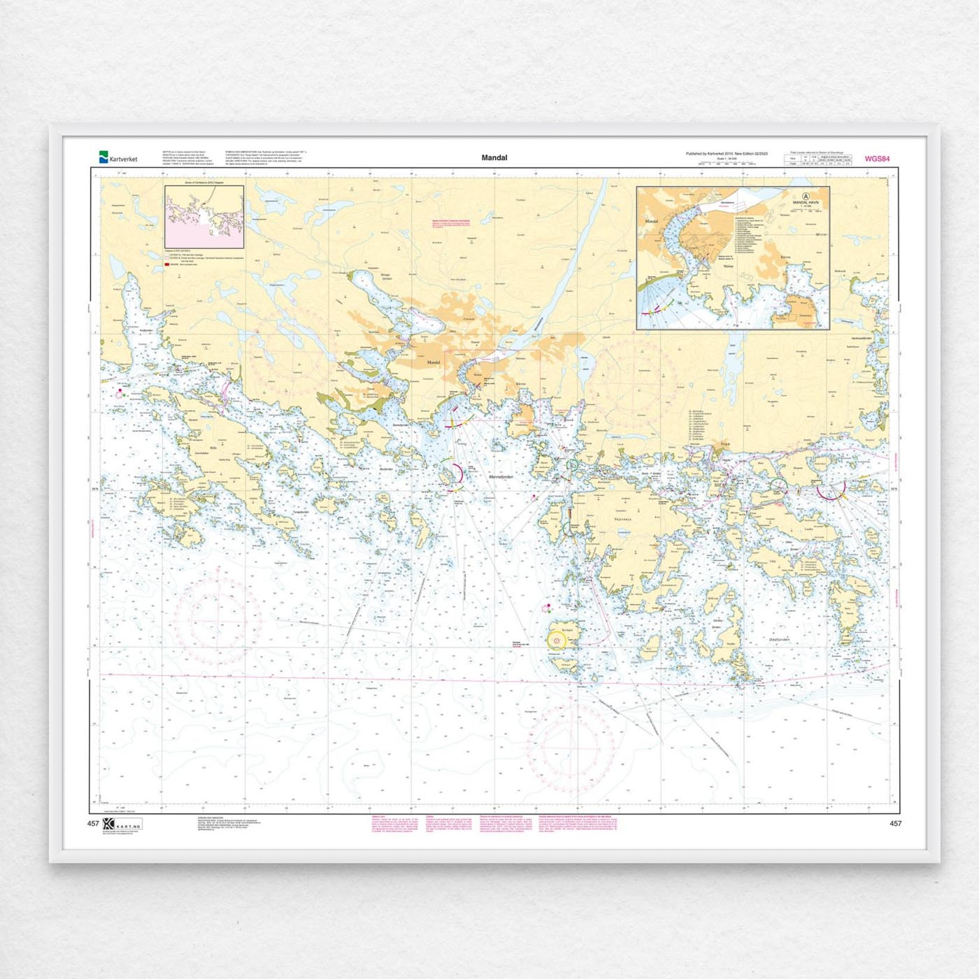
The map can also be delivered framed, with passepartout, or mounted on aluminum plate. This makes it just as suitable for use as a wall map in your home, cabin or office. Size with passepartout and frame is 107 x 126 cm.