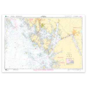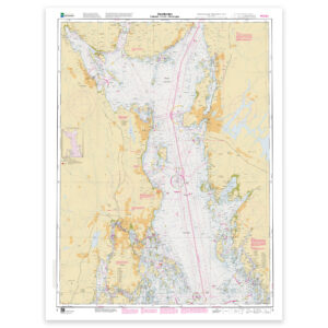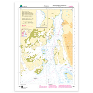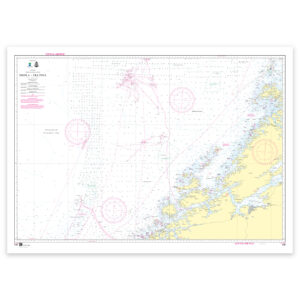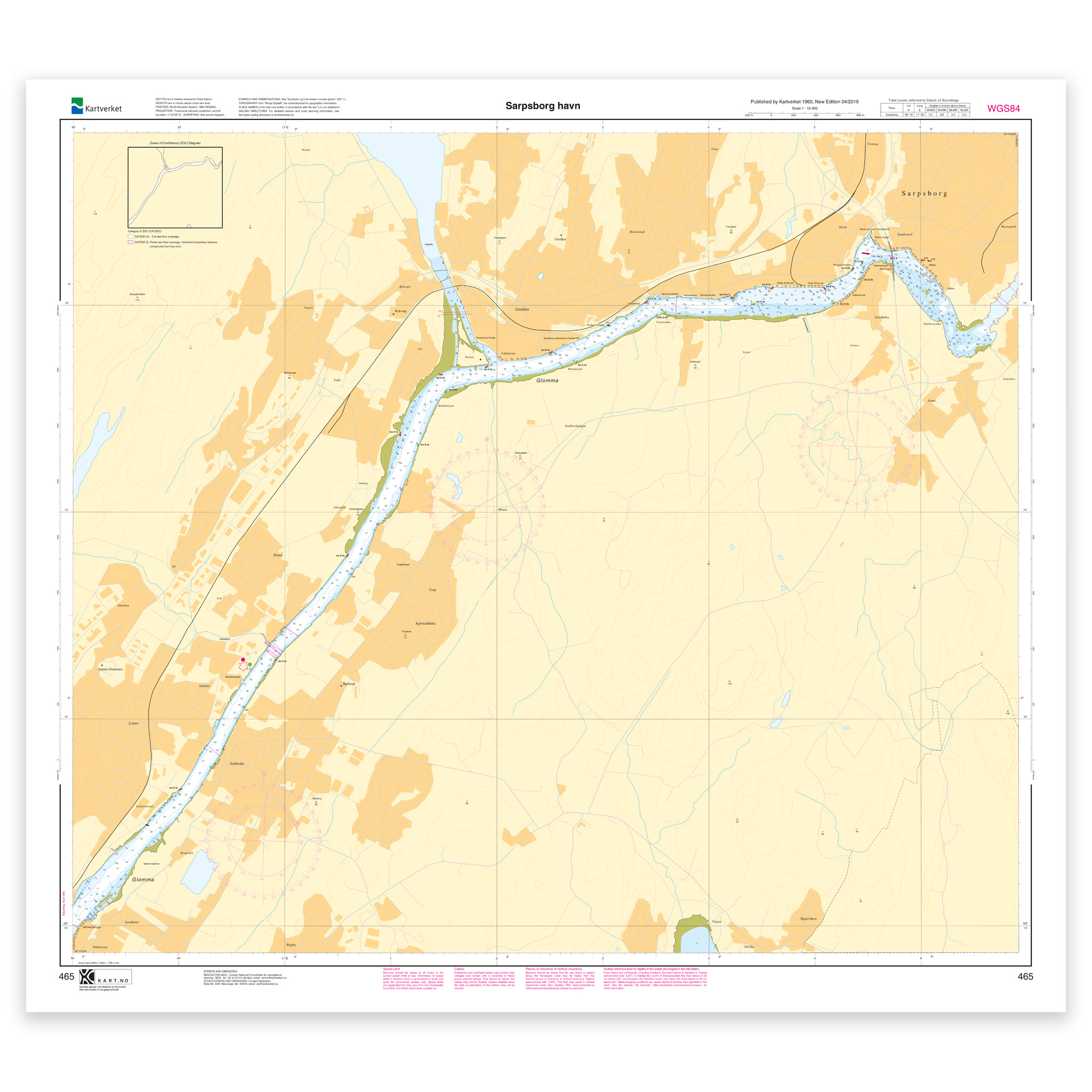
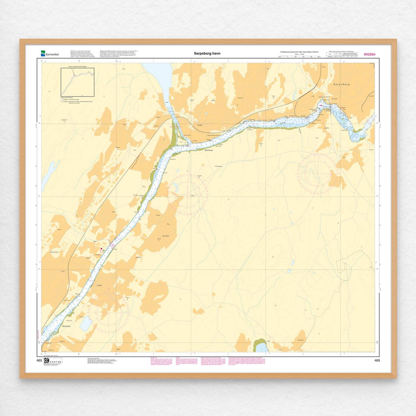
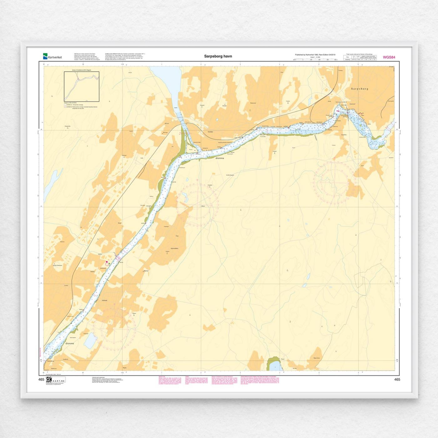

Kartverket nautical chart 465 – Sarpsborg harbor

This official nautical chart from Kartverket covers Sarpsborg harbour, with waters in Glomma near Alvim, Sandesund and Omberg at a scale of 1:10,000. Chart 465 measures 85 x 96 cm.

You can choose chart paper, Tyvek or fine art paper to suit how you plan to use the chart. It is also available mounted on aluminium or ready framed, measuring 106 x 116 cm including the mount and frame.

POD charts updated 3 November 2026 · Efs 20/2026.

We retrieve the latest available chart file from Kartverket when your chart is printed.

New edition: 2019 (Efs 07/2019). Chart information

From 23,49 €

Category:
Norwegian Mapping Authority

    Description

    Chart coverage. Kartverket nautical chart 465 covers Sarpsborg harbour, with waters in Glomma near Alvim, Sandesund and Omberg.

    Scale and format. Chart 465 in the Norwegian Mapping Authority’s harbour chart series. Scale 1:10,000; sheet size 85 x 96 cm. We retrieve the latest available chart file from Kartverket when your chart is printed.

    Materials. Choose the material to suit how you will use the chart. Lightweight 125 gsm chart paper takes up little space and is suitable for a backup chart. Sturdier 180 gsm chart paper is suited to regular use on board and handwritten notes. Tyvek is a durable, water-resistant option for demanding conditions. Cotton rag fine art paper offers a textured finish for framing or wall display.

    Framing and mounting. The chart can also be supplied mounted on an aluminium panel or ready framed with a mount, for display at home, in a cabin or at the office. Size including mount and frame: 106 x 116 cm.
Se også

  • Kartverket nautical chart 2 covering Torbjørnskjær – Fulehuk – Rakkebåane

    Kartverket nautical chart 002 – Torbjørnskjær – Fulehuk – Rakkebåane

    From 23,49 €

    Select options
  • Kartverket nautical chart 464 covering Fredrikstad harbour

    Kartverket nautical chart 464 – Fredrikstad harbor

    From 23,49 €

    Select options
  • Kartverket nautical chart 1 covering Oslofjorden. Færder – Hvaler – Halden

    Norwegian Mapping Authority nautical chart 001 – Oslofjord. Færder – Hvaler – Halden

    From 23,49 €

    Select options
  • Kartverket nautical chart 3 covering Oslofjorden. Fulehuk – Filtvet – Rødtangen

    Norwegian Mapping Authority nautical chart 003 – Oslofjorden. Fulehuk – Filtvet – Rødtangen

    From 23,49 €

    Select options