
Description
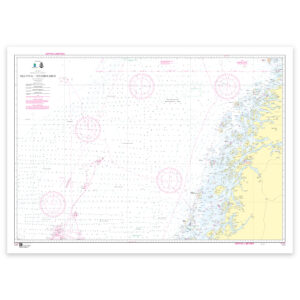
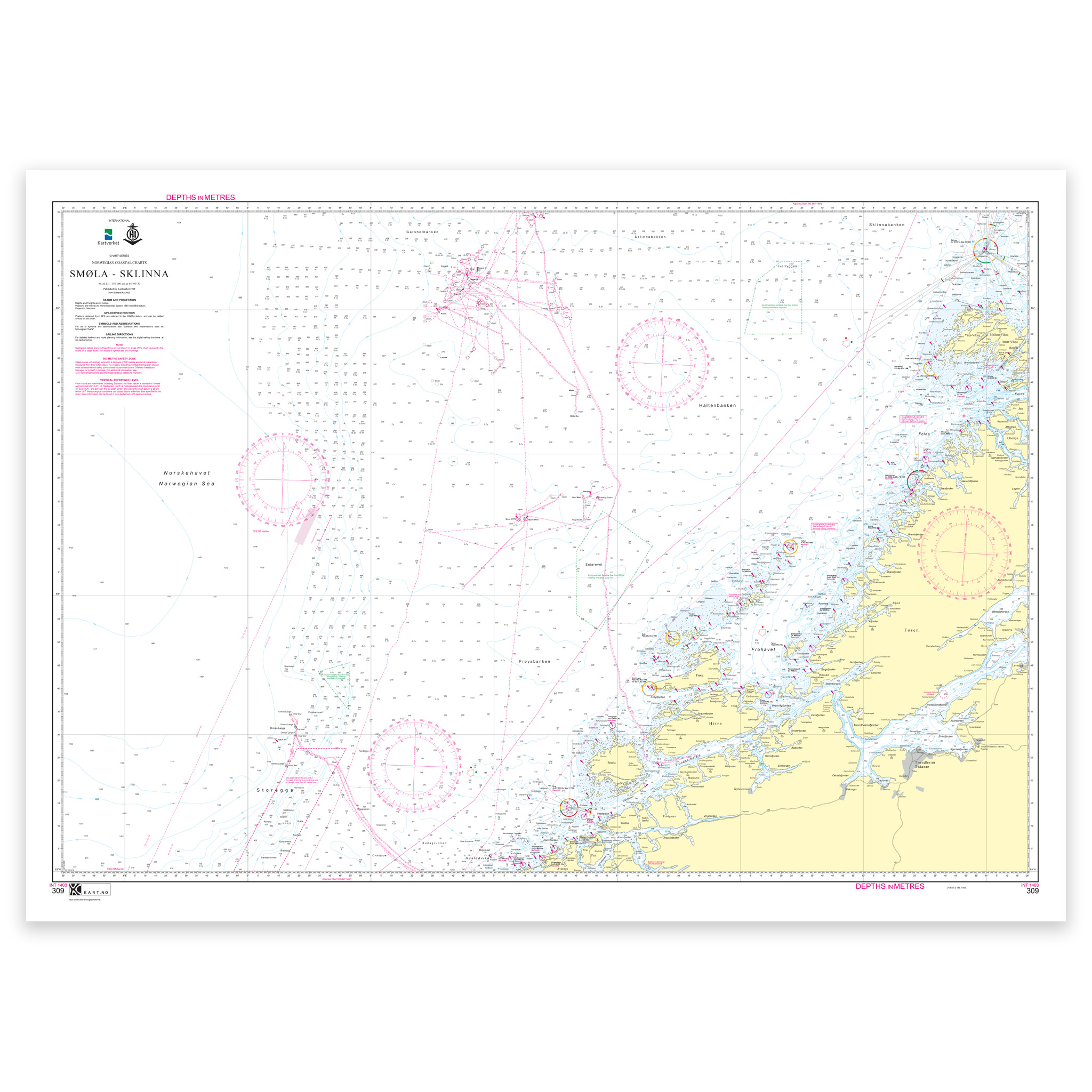
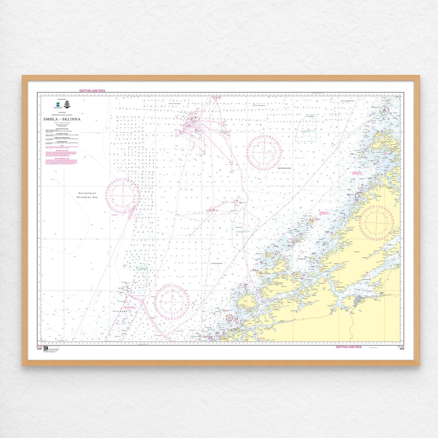
Kartverket – coastal maps: 309: INT 1403 / Smøla – Sklinna has a scale of 1:350,000. The maps are delivered on a roll in size 119×84 cm cm. Can also be delivered on a plate or pre-framed. Size with passepartout and frame is 129 x 104 cm.
With coverage of INT 1403 / Smøla – Sklinna, this is a reliable nautical chart for those who want good control of waters, leads and coastal areas. The place names in the chart area make it easy to find the right coverage for this particular part of the coast, whether you use the chart actively on board or want it as an overview chart.
The map is designed to provide a good combination of overview and level of detail in the area. The map is produced as print-on-demand and is printed when ordered. This means that you get an updated nautical chart based on the latest available data and corrections from the Norwegian Mapping Authority.
The map base is based on official data from the Swedish Mapping Authority, making this a reliable choice for those who want up-to-date nautical charts.
You can choose from several high-quality materials. Map paper 125 grams is a good choice as a backup map because it’s lightweight, takes up little space and is ideal for storing multiple maps. Map paper 180 grams is more robust and best suited for active use, especially when you want to note routes or your own updates in the map. If the map is to be used in harsh environments, Tyvek is a very durable alternative. For framing and decoration, art paper is an exclusive choice with a clear structure and high quality.
In addition, the map can be delivered with a frame or on an aluminum plate, ready to hang up as a practical and decorative map. Size with passepartout and frame is 129 x 104 cm.