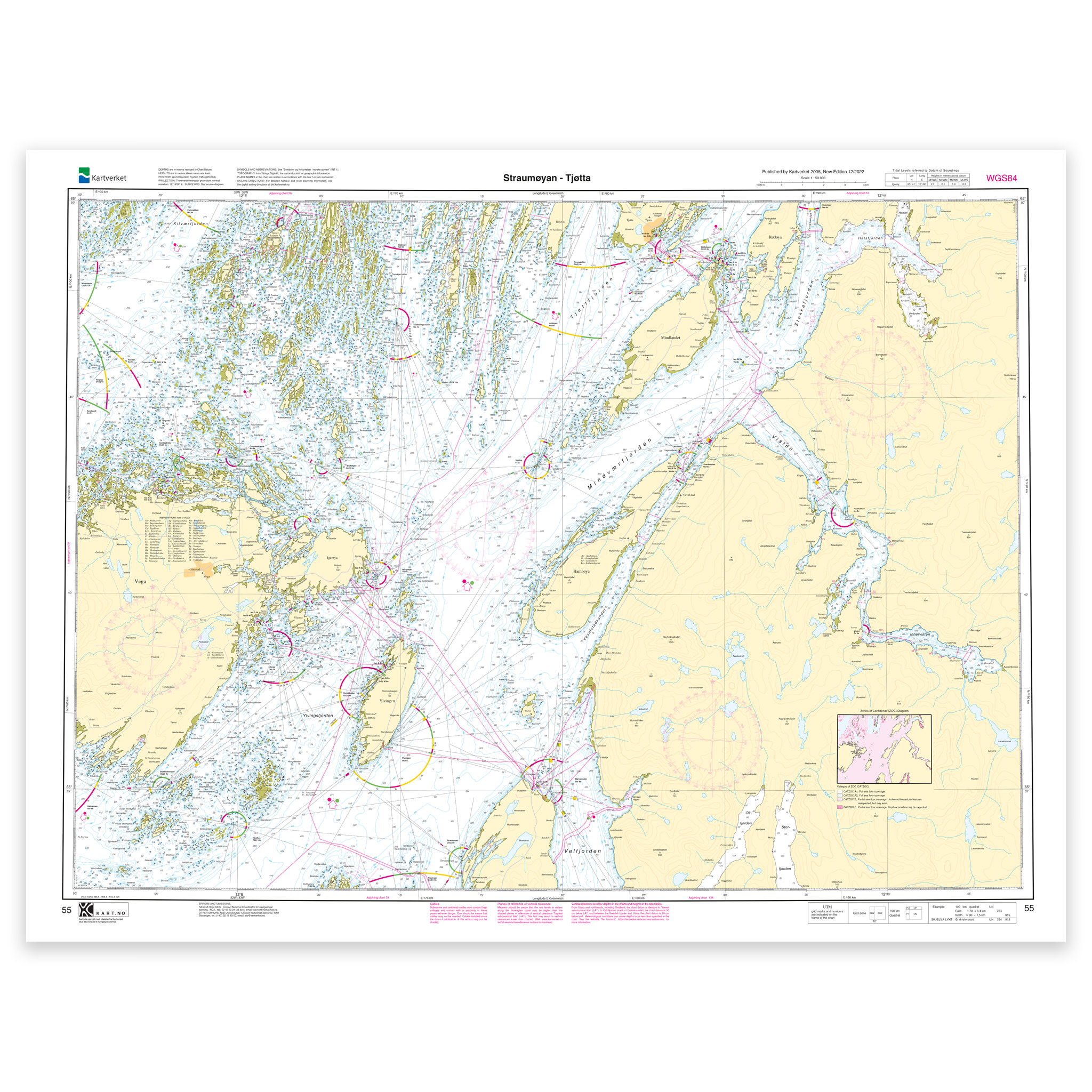
Description
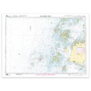
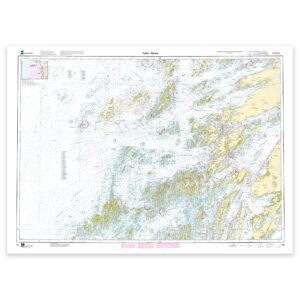
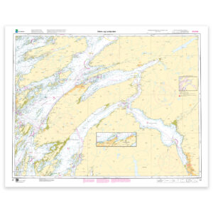
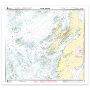
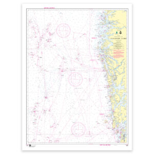
Nautical chart covering the waters Straumøyan – Tjøtta. Map sheet 55 in the Norwegian Mapping Authority’s main map series. The map is 76 x 101 cm and has a scale of 1:50,000. Can also be delivered on a plate or framed. Size with passepartout and frame is 97 x 121 cm.
This is a detailed nautical chart of Straumøyan – Tjøtta, well suited for both navigation, trip planning and overview on board. The place names in the map area make it easy to find the right coverage for this particular part of the coast, whether you use the map actively on board or want it as an overview map.
Map sheet 55 in the Norwegian Mapping Authority’s main map series. With a scale of 1:50,000 and a size of 76 x 101 cm, you get a nautical chart that is easy to read and well suited for both use and overview. This nautical chart is produced on order, so you get a fresh edition with updated information from the Mapping Authority.
The map base is based on official data from the Swedish Mapping Authority, making this a reliable choice for those who want up-to-date nautical charts.
The choice of material can be adapted to the application. 125 gram map paper is thin, matt and space-saving, and is ideal as a spare map. 180-gram chart paper is a carefully selected, matt and sturdy paper that is ideal for active use of the chart on board. If the map is to be used in harsh environments, Tyvek is a very durable alternative. For framing and decoration, art paper is an exclusive choice with a clear structure and high quality.
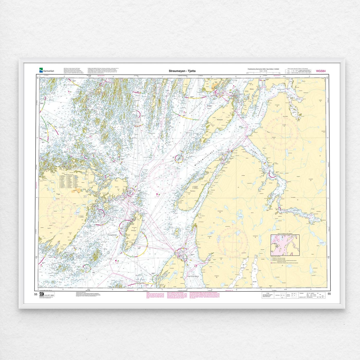
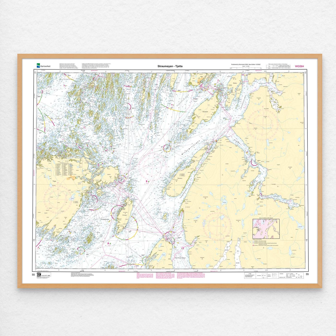
In addition, the map can be delivered with a frame or on an aluminum plate, ready to hang up as a practical and decorative map. Size with passepartout and frame is 97 x 121 cm.