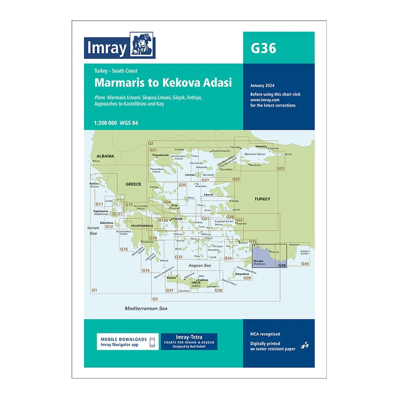
Description
This overview chart from Imray covers the southern coast of Turkey in the eastern Mediterranean, from Marmaris in the west to Kekova Adası in the east. The map provides a regional overview of a popular and varied sailing area with many natural harbors, islands and protected anchorages.
The map includes plan views and approaches to Marmaris Limanı, Skopea Limanı, Göcek, Fethiye, as well as approaches to Kastellórizo (Megísti) and Kaş. Developed for passage and route planning, it is well suited both for coastal voyages along the Turkish Riviera and for connections to Greece.
Printed on water-resistant paper and manufactured to MCA approved standards, with support for digital updates via the Imray Navigator app