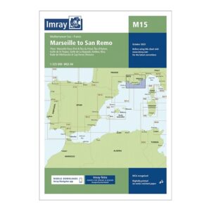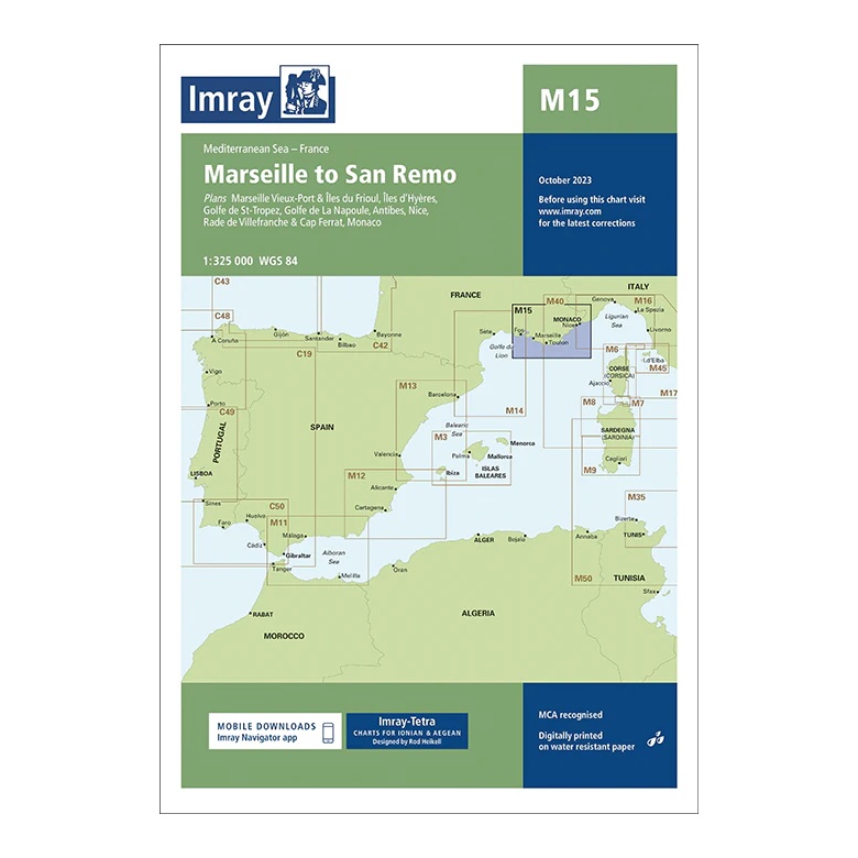
Description
This overview chart from Imray covers the coastline of the Western Mediterranean from Marseille to San Remo, encompassing the south coast of France and the westernmost part of Italy. The map includes the sailing areas along Provence and the French Riviera, with plan views and approaches to key ports and coastal areas.
The map covers Marseille, Îles du Frioul, Îles d’Hyères, Golfo de St-Tropez, Côte d’Azur, Antibes, Nice, Cap Ferrat, Monaco and the stretch further east to San Remo. Developed for passage and route planning, it provides a clear regional overview of the sailing routes along this part of the Mediterranean.
Printed on water-resistant paper and manufactured to MCA approved standards, with support for digital updates via the Imray Navigator app.