
Description
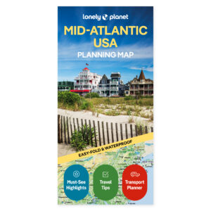
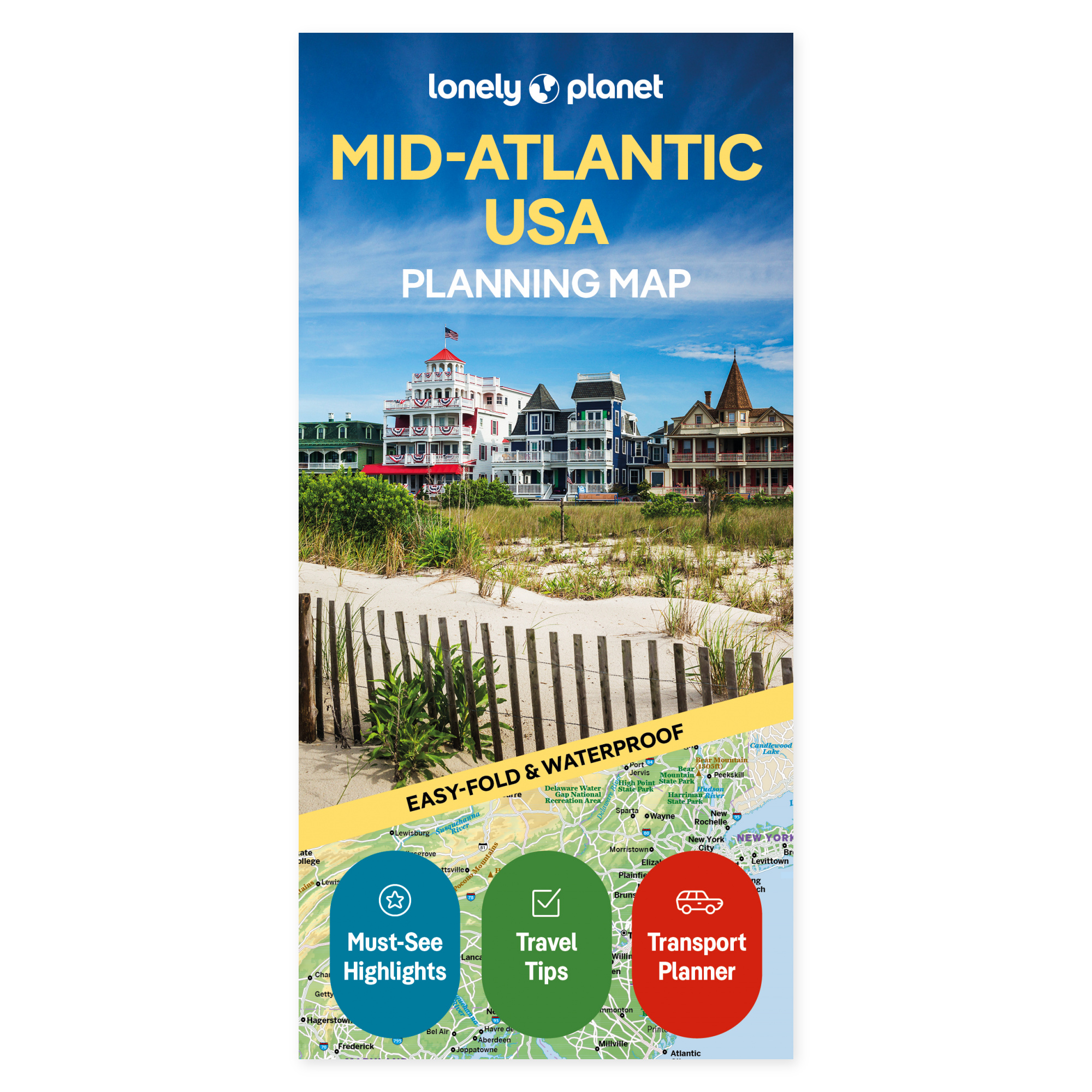
See the possibilities on the map. Piece together your journey through the Mid-Atlantic with a map that brings your ideas together in front of you. Lonely Planet’s planning map gives you a physical starting point for choosing stops and seeing how they fit together, whether you want to prioritize major cities or add more detours.
Plan your own trip. Brandywine Valley and New York City are among the examples featured in the official description. The map combines a colour overview with recommendations and practical travel information. Use it alongside a regional guide when discussing the order of your stops and finding a balance between travel days and time spent at each place.
Made to take with you. The folded map is water-resistant and easy to unfold. You get a physical overview that can be used both before departure and along the way, without having to bring out a screen. Lay the map out with your travel companions and see how the places you want to visit are positioned in relation to each other.
Feel free to choose a few main stops and use the overview to explore possible detours. The map can stay out while you discuss the next leg of the trip, or be brought along when plans need to be followed up en route.
About the edition. Map with English text, published 2026. 1st edition. ISBN 9781788685979.