

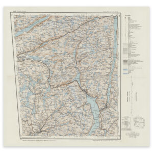
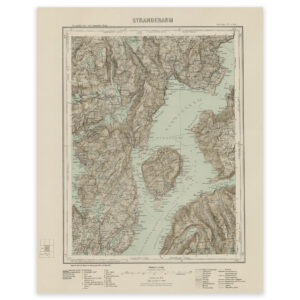
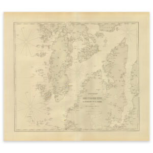
 Nautical chart of the area Ryvarden Fyr, Bømlo and Stord


Nautical chart of the area Ryvarden Fyr, Bømlo and Stord
This map from 1865 covers the area of Ryvarden Fyr, Bømlo and Stord. The map is delivered in its original size of 56.2 x 49.7 cm. The size with frame and passepartout is 74.2 x 68.7 cm. Would you like the map in a different size? Just get in touch – we’ll be happy to give you a quote for customization.