



Description
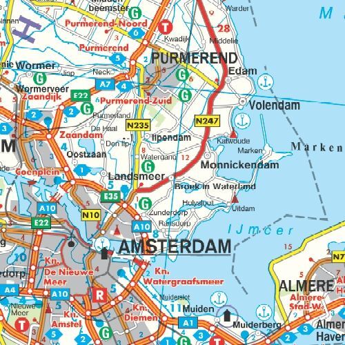
The Netherlands road map at a scale of 1:300,000 provides an overview of the road network and is a practical tool for planning journeys and excursions. The map offers a comprehensive overview of the Netherlands and includes city maps of Amsterdam and The Hague. It is suitable for planning a multi-stop tour or for seeing how different cities can be incorporated into your itinerary.
Tourist information helps you find relevant stops along your route. On an unfolded paper map, it is easy to see the connection between multiple destinations and discuss the day’s stage with fellow travelers.
A place name index with postal codes makes it easier to find the locations you are looking for. Use the map as a supplement to digital maps when you want an overview of a larger area without switching between many screen sections.
Campsites are marked, allowing you to view potential stops in conjunction with your planned route. City maps of Amsterdam and The Hague also provide a more detailed overview of these areas.
Practical information: Multilingual, foldable road map. Scale 1:300,000, which corresponds to 3 kilometers per centimeter on the map. Folded format 13 × 25.5 cm. Publication year 2020. Publisher Freytag & Berndt.
