Description
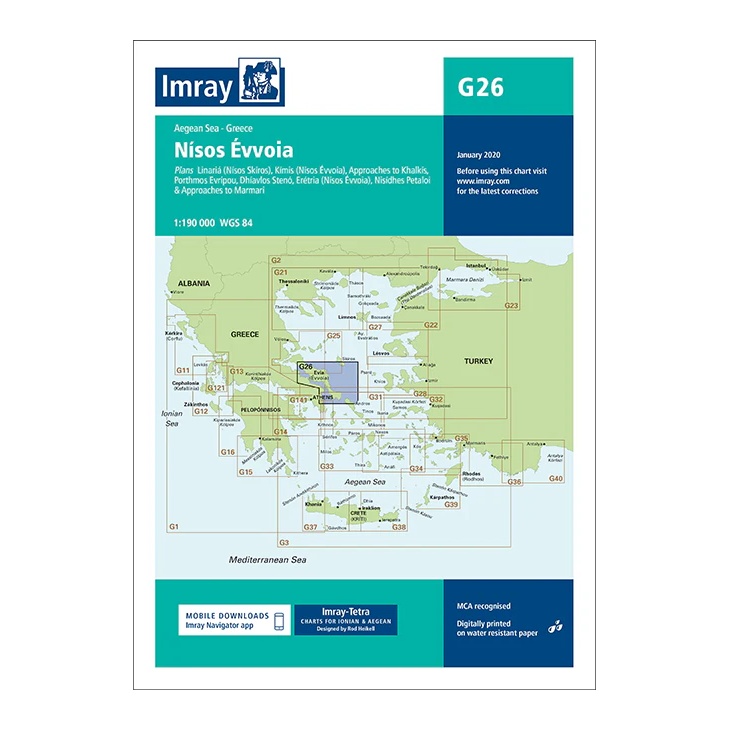
This overview chart from Imray covers Evvoia (Evia ) – Greece’s second largest island – and adjacent waters in the central Aegean. The map provides a good regional overview of a complex sailing area with narrow straits, strong currents and important connections between the Greek mainland and the Cyclades.
The map includes plan views and approaches to Chalkís (Evripos Strait), Kými, Eretria, Dírfys, Marmári, as well as selected ports and anchorages along both the north and south coasts of Evvoia. It is particularly useful for sailors operating between the Saronic Gulf, the North Aegean and the Cyclades.
Printed on water-resistant paper and manufactured to MCA approved standards, with support for digital updates via the Imray Navigator app.