


Description
From Farnham through Surrey and Kent.
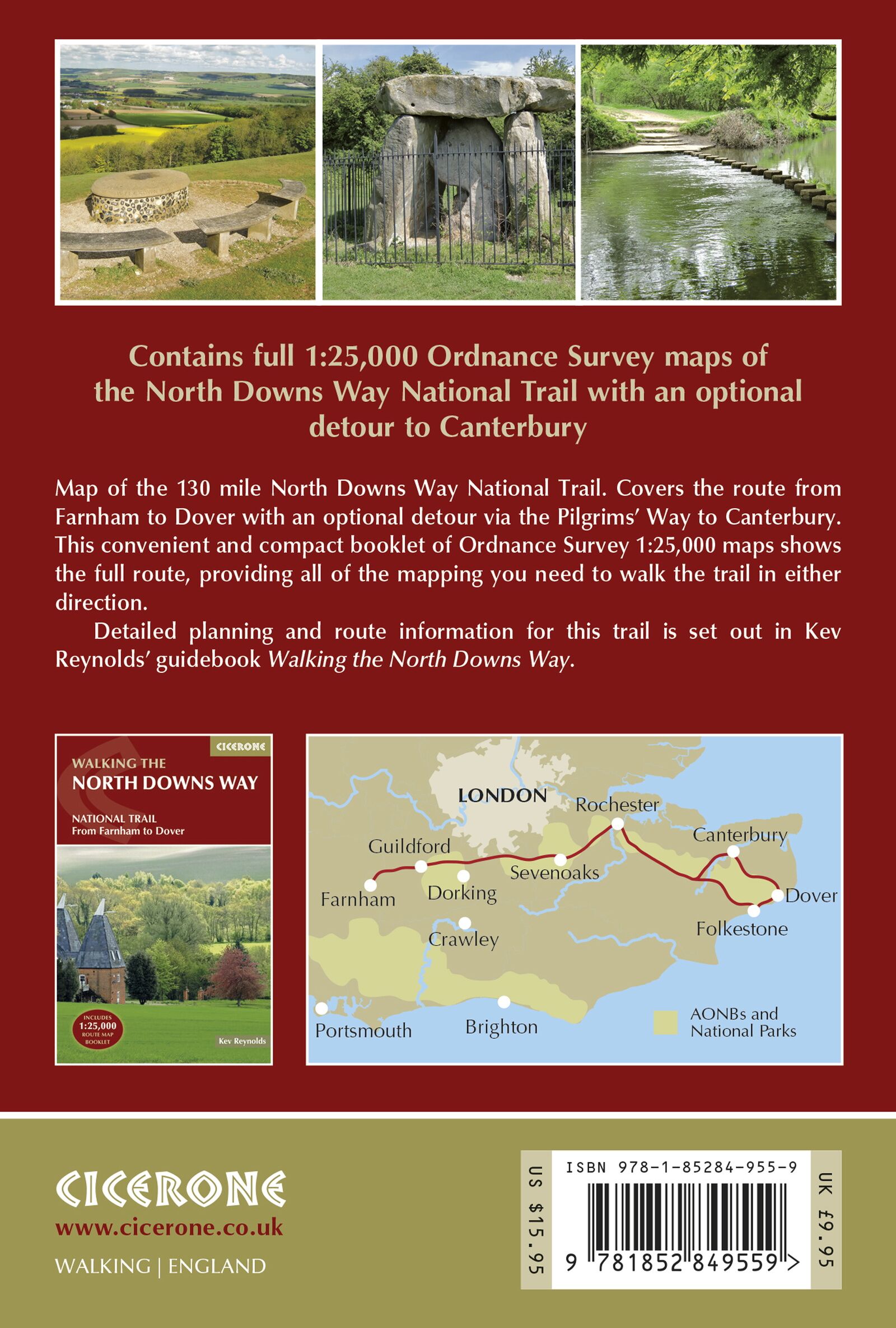
The North Downs Way follows ridges and ancient trackways through Southern England before ending in Dover. This map booklet covers the entire main route and the Canterbury alternative. It provides a continuous overview of a long-distance trail suitable for a single trip or multiple shorter visits.
Detailed map coverage in a single booklet.
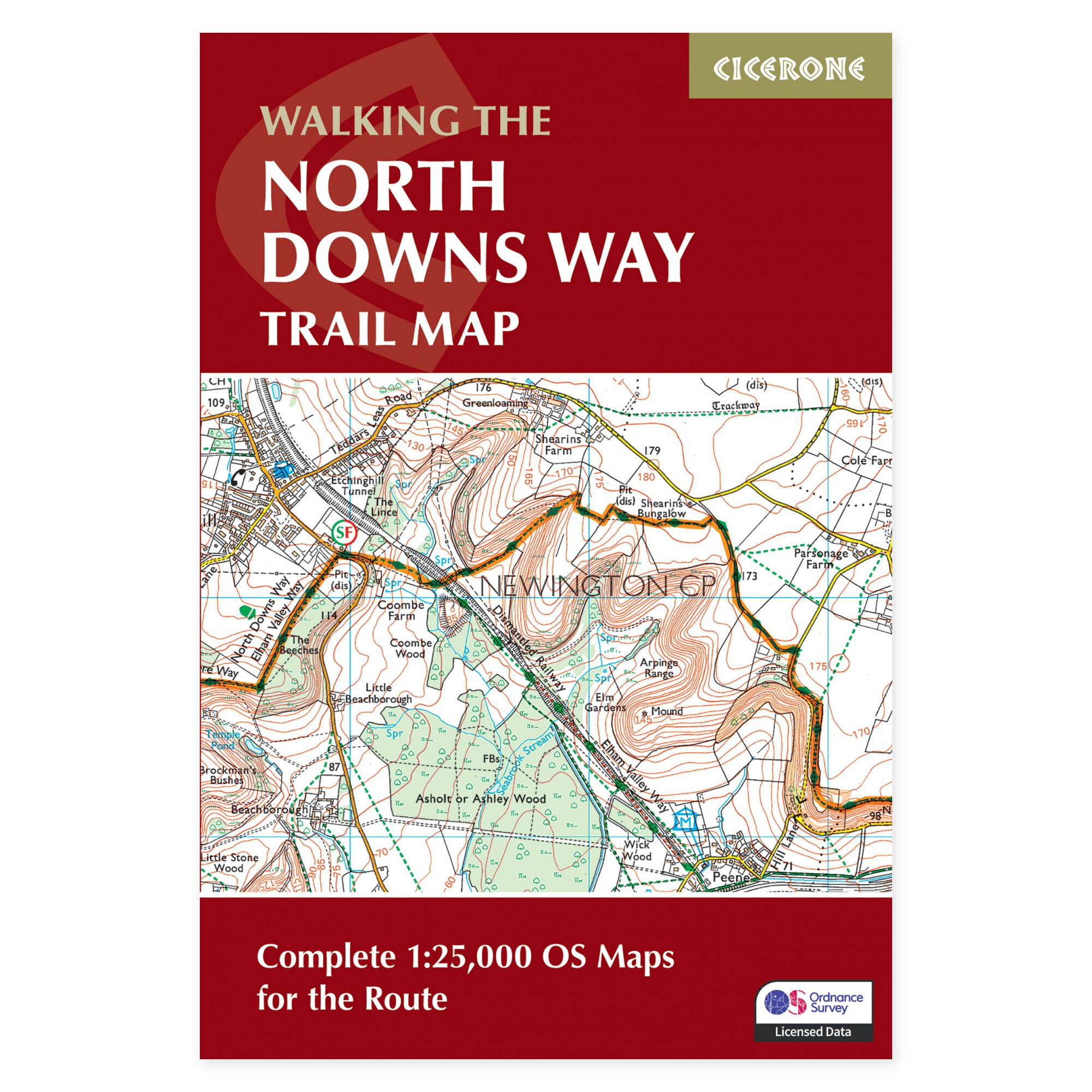
Ordnance Survey maps at 1:25,000 scale show the trail and its surroundings in high detail. A map key and index help you use the booklet effectively. The compact format is designed for easy access while following the route.
A navigational supplement to the guidebook.
This product is a map booklet, primarily focused on cartographic coverage. For comprehensive route descriptions and practical logistics, a separate Cicerone guide to the North Downs Way is available. Note that this booklet is included with certain editions of the guidebook; please check your existing copies.
For the entire trail or selected stages.
The North Downs Way is considered one of the more accessible British National Trails, though it still features hills and long walking days. The maps are equally useful for shorter sections near Box Hill or Canterbury as they are for the full distance. Supplement with updated information on transport, accommodation, and local conditions when planning your trip.
A long tradition of hiking guides.
Cicerone has published guidebooks since 1969. The publisher emerged among climbers and mountaineers who wanted to share thorough knowledge of their routes – a tradition that still characterizes these compact books for walking, trekking, and other outdoor experiences.
About this edition.
Author: Kev Reynolds. English language. 96 pages. First edition, published 2017. ISBN 9781852849559.
