Description
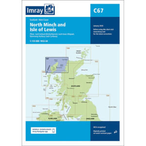
This boating chart covers the North Minch and Isle of Lewis along the west coast of Scotland. The chart has been developed for recreational boating and sailing navigation in an area characterized by open seas, strong tidal currents and rough waters between the Outer Hebrides and the Scottish mainland.
The map provides an overview of coastlines, islands, straits and key approaches, and is ideal for route planning and overview navigation. It is often used in combination with more detailed local maps for safe travel through North Minch and around the Isle of Lewis, an area that requires a high level of planning.
Imray is a renowned British chart manufacturer with extensive experience in nautical charts and publications for leisure boats. Their charts are designed with practical on-board use in mind, combining clear cartography with reliable nautical information for sailors and powerboaters.