Description
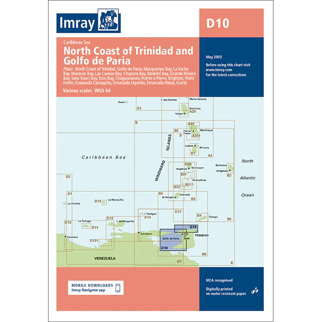
This boating chart covers the north coast of Trinidad and the Golfo de Paria in the southern Caribbean. The chart is designed for recreational boating and sailboat navigation in an area that includes busy waters, coastal voyages and important approaches to both Trinidad and the north coast of Venezuela.
The chart provides an overview of coastlines, bays and nearby sea areas, and is well suited for route planning and overview navigation. It is often used as a general chart in combination with more detailed harbor and coastal charts, providing a solid foundation for safe sailing in an area characterized by currents, commercial traffic and varying depth conditions.
Imray is a renowned British chart manufacturer with extensive experience in nautical charts and publications for leisure boats. Their charts are designed with practical on-board use in mind, combining clear cartography with reliable nautical information for sailors and powerboaters.