
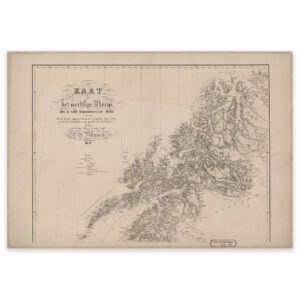
 Northern Norway 1852
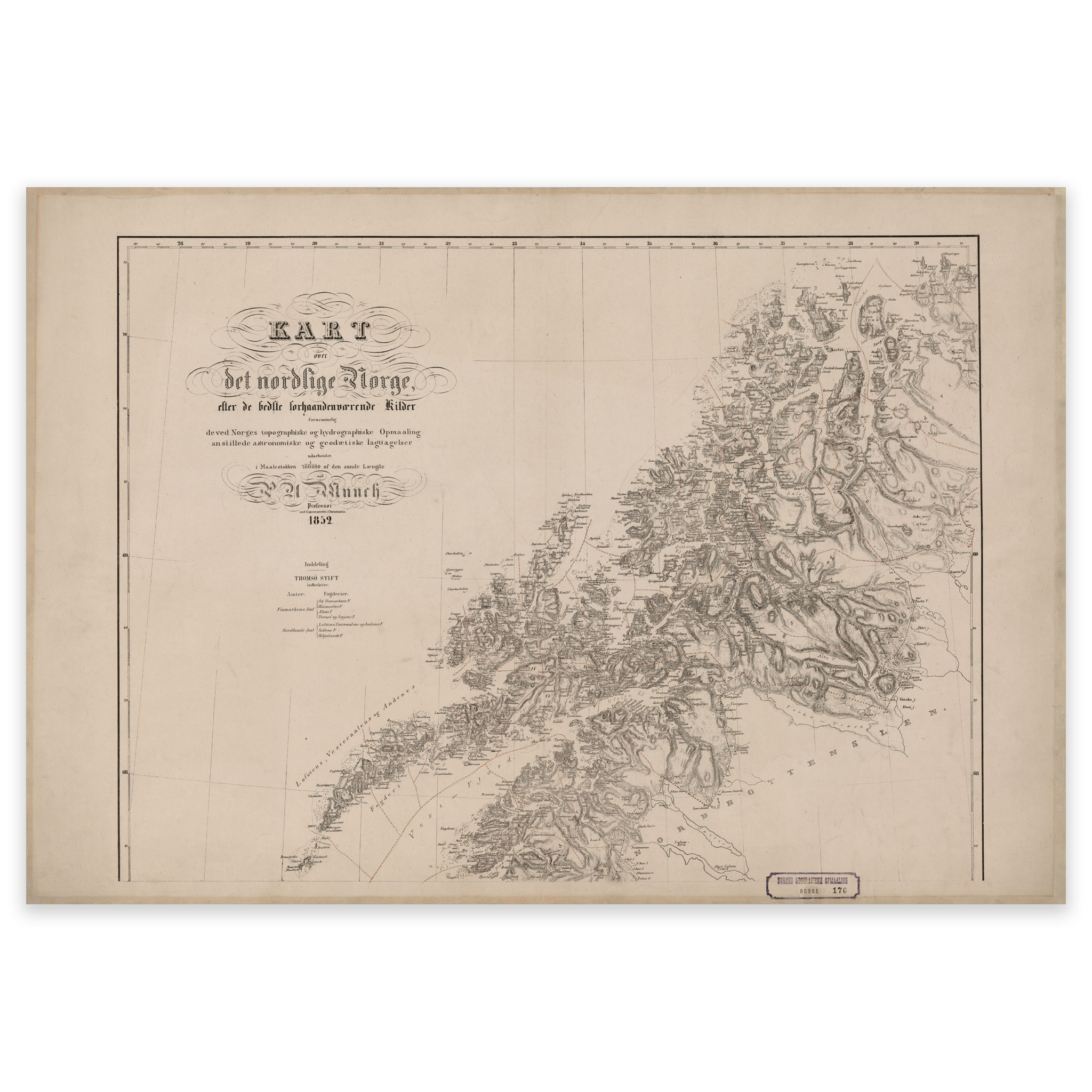
Northern Norway 1852
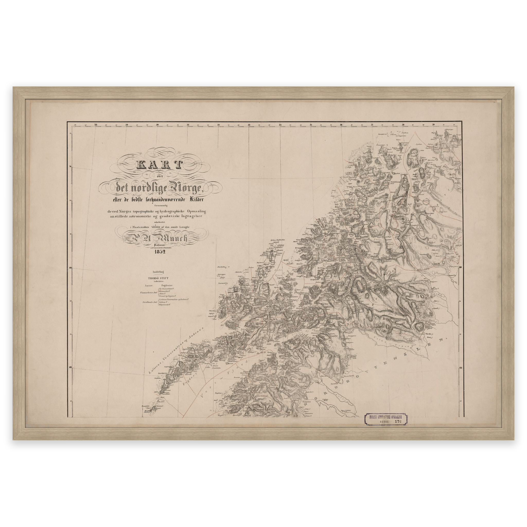
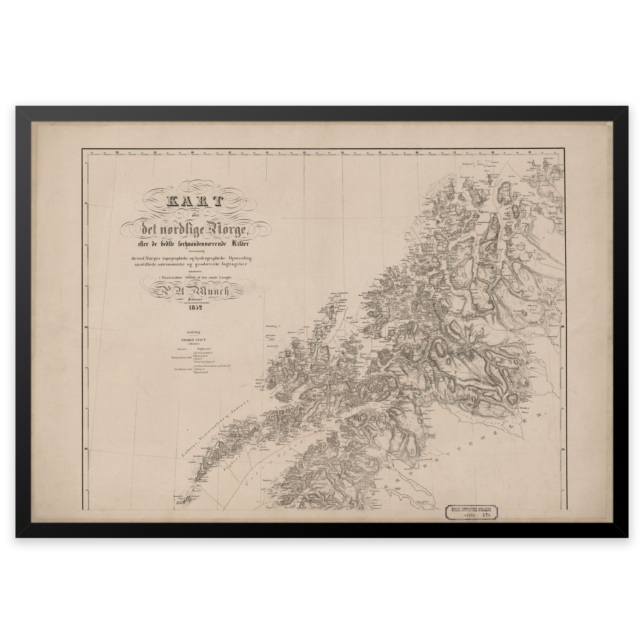
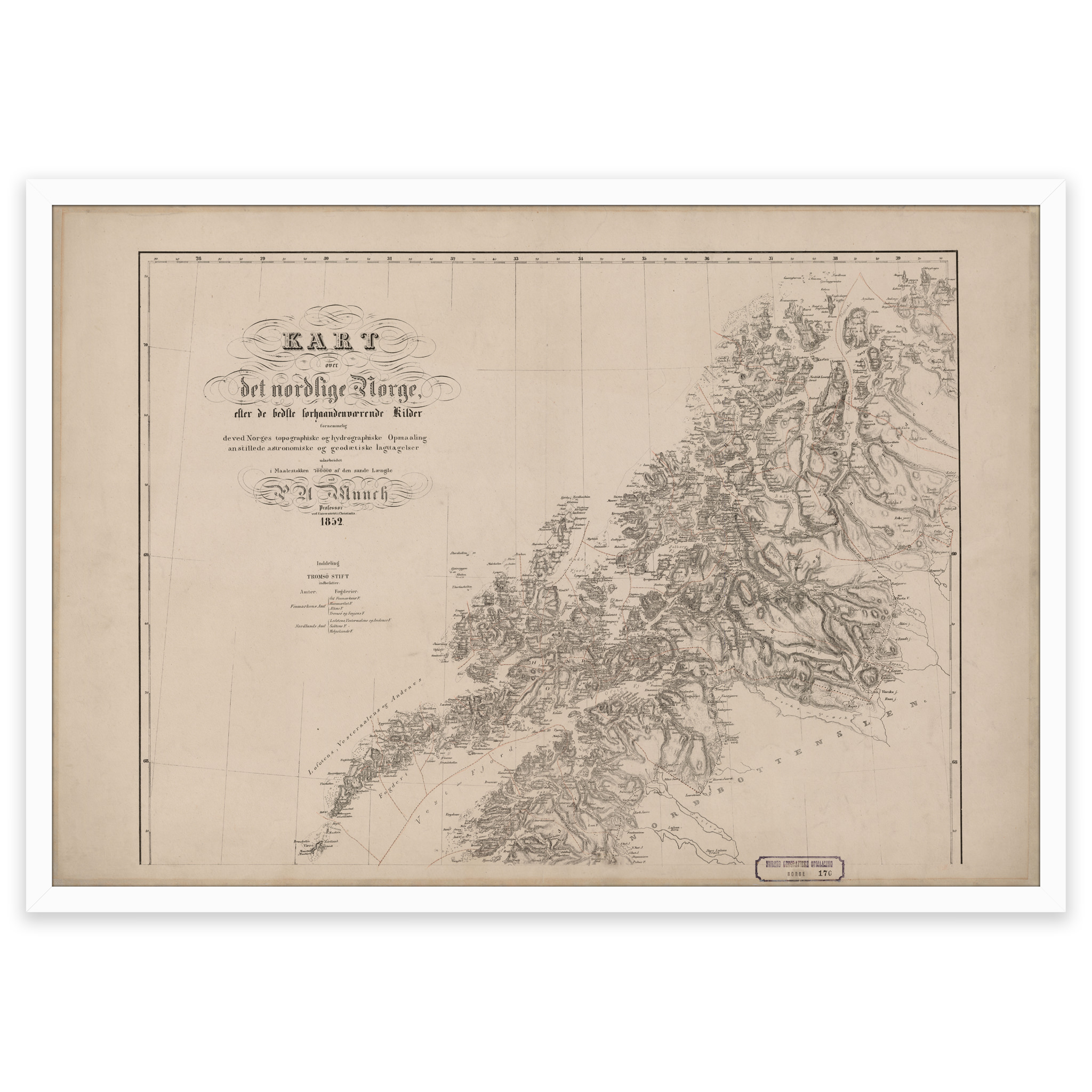
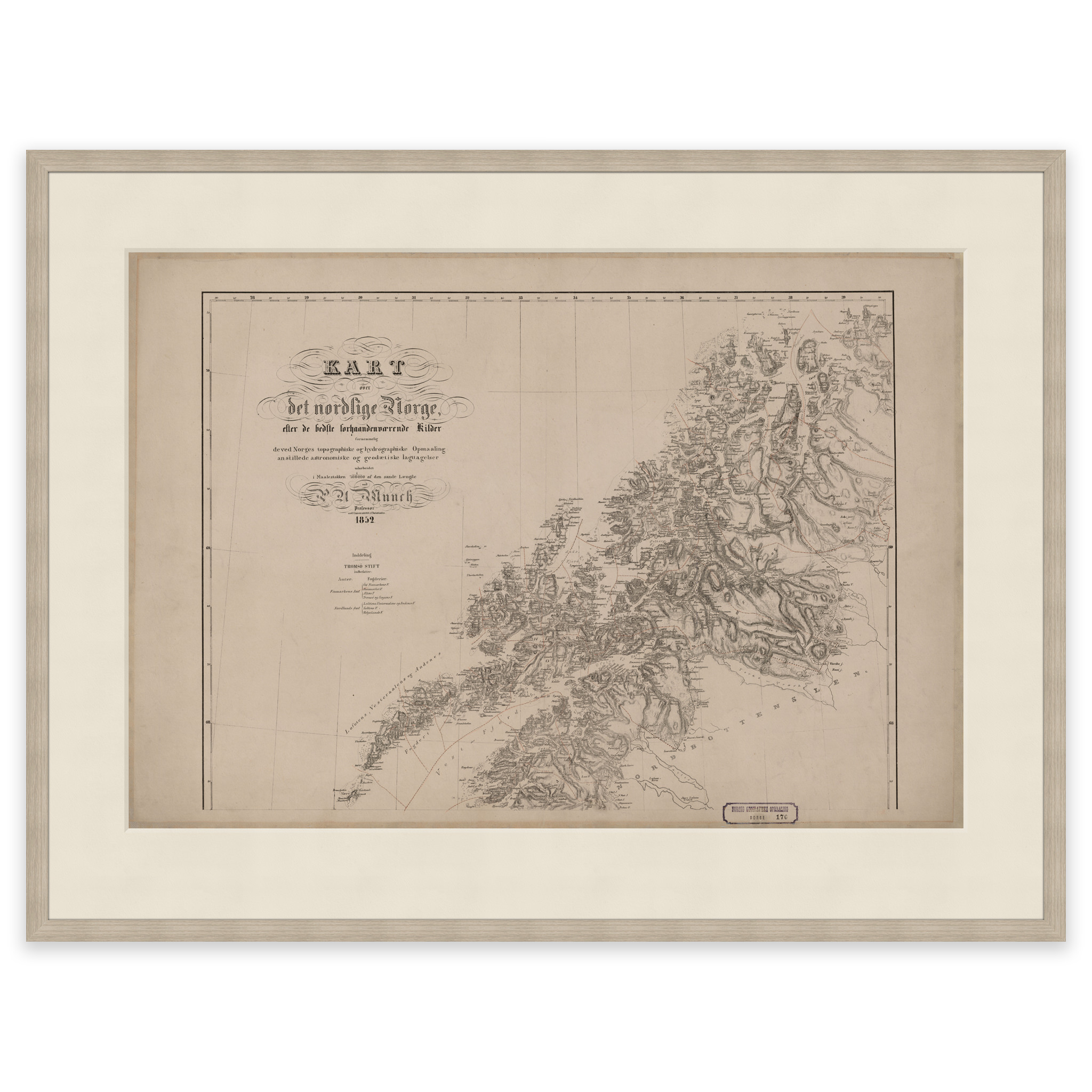
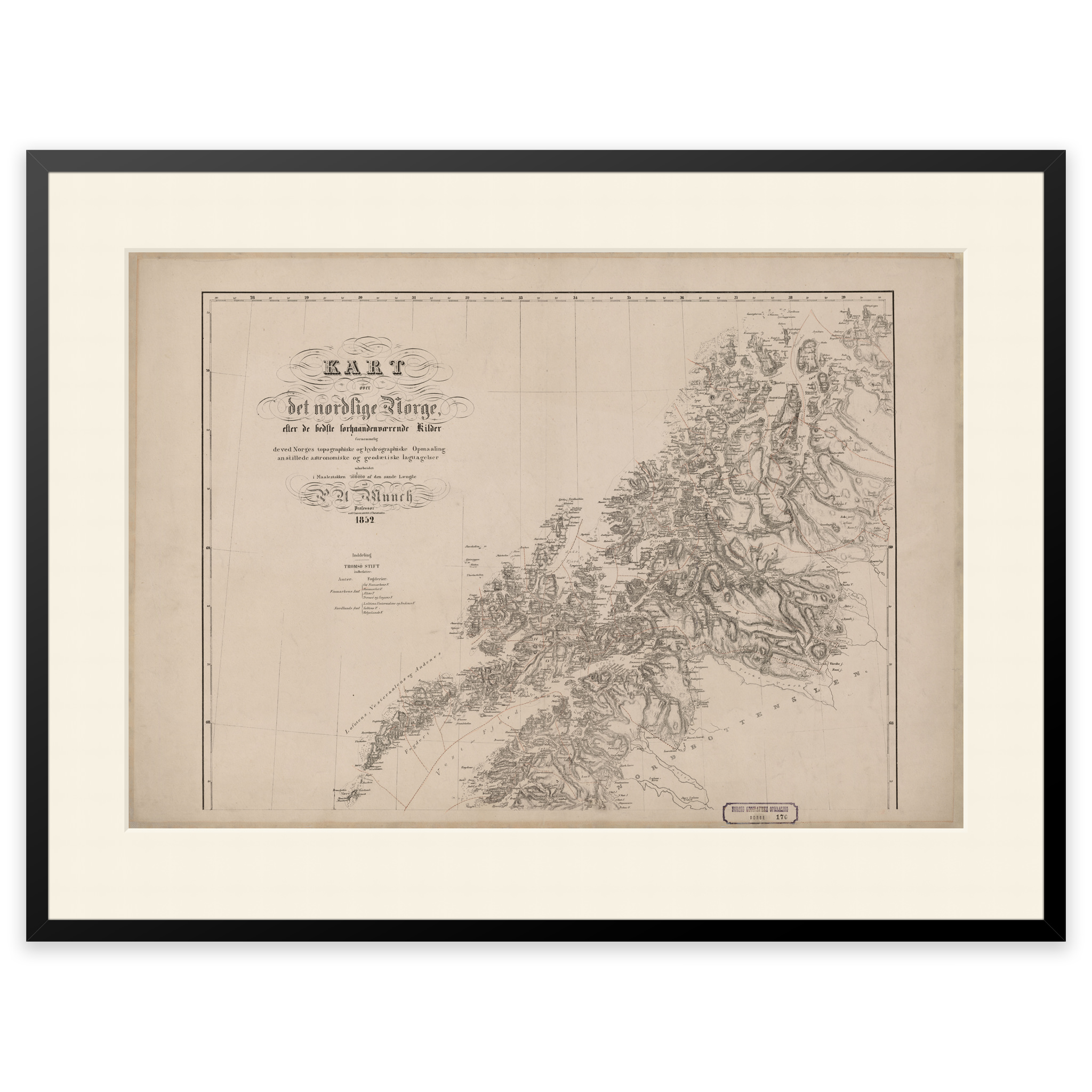
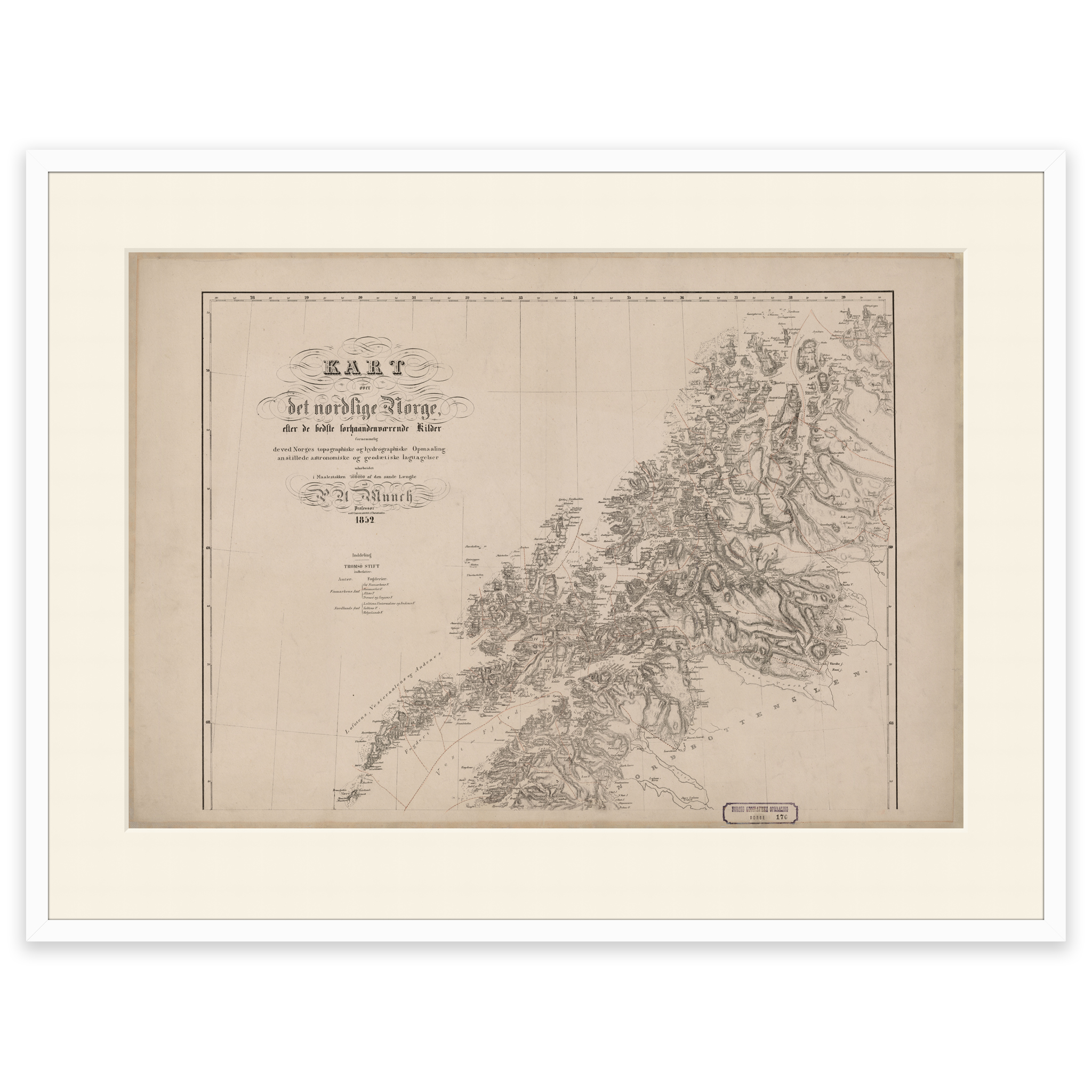
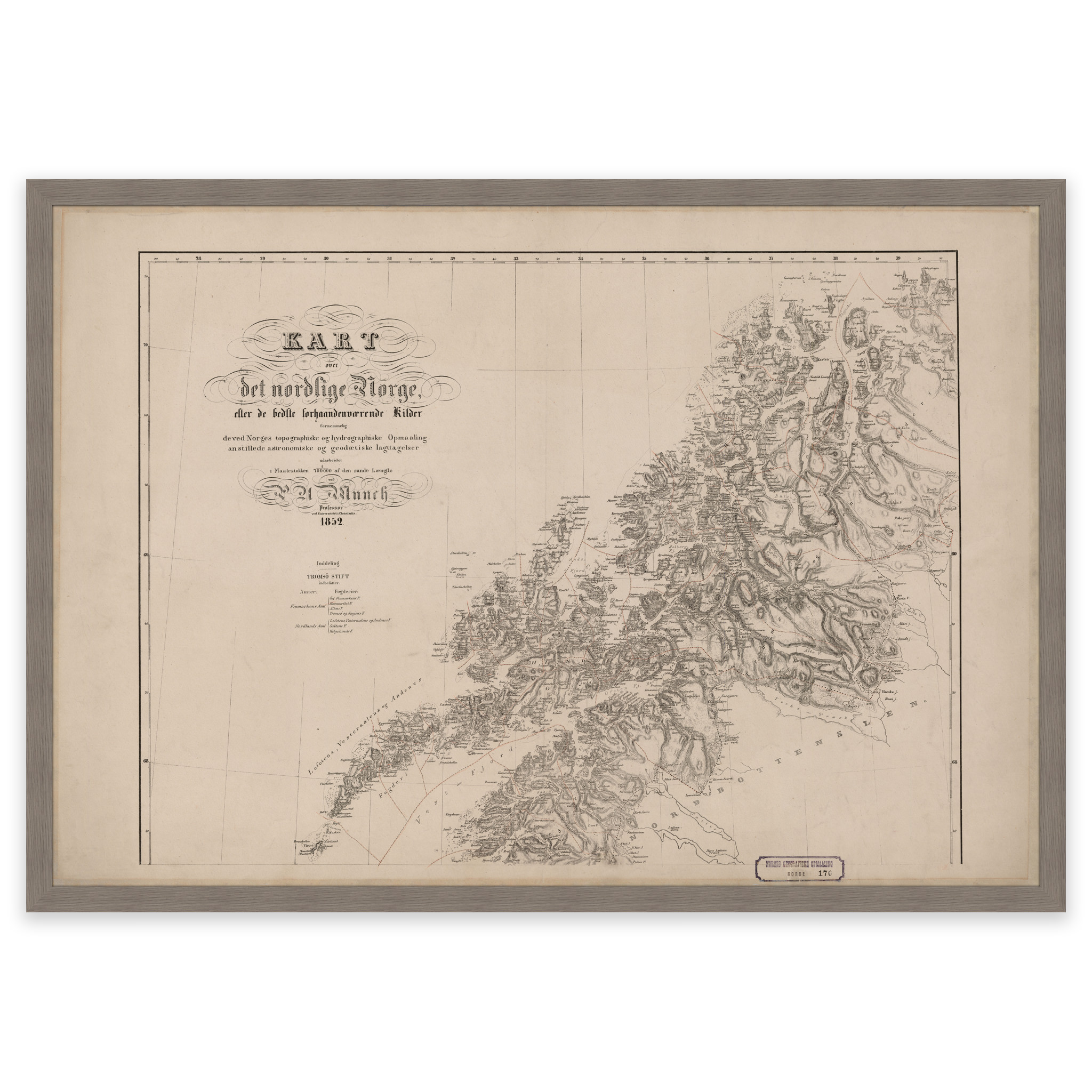
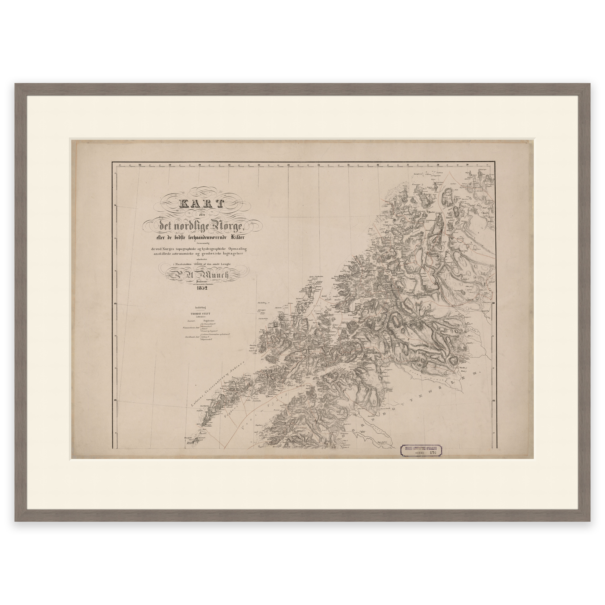
Map from 1852 of parts of Northern Norway. Covers the area from Lofoten up to and including Tromsø and Skjervøy. The map comes in its original size of 72.6 x 55.6 cm. The size with frame and passepartout is 90.6 x 74.6 cm. Would you like the map in a different size? Just get in touch – we’ll be happy to give you a quote for customization.