
Description
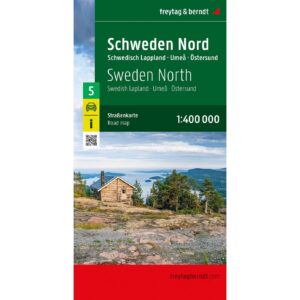
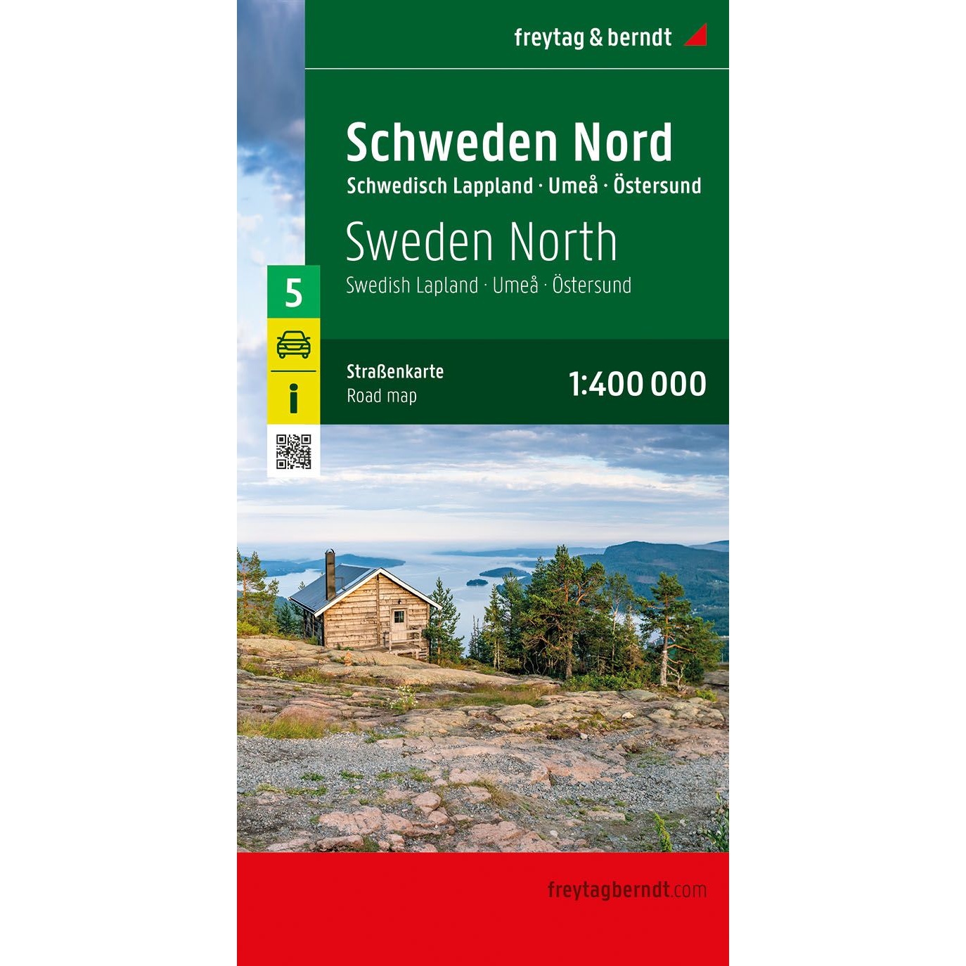
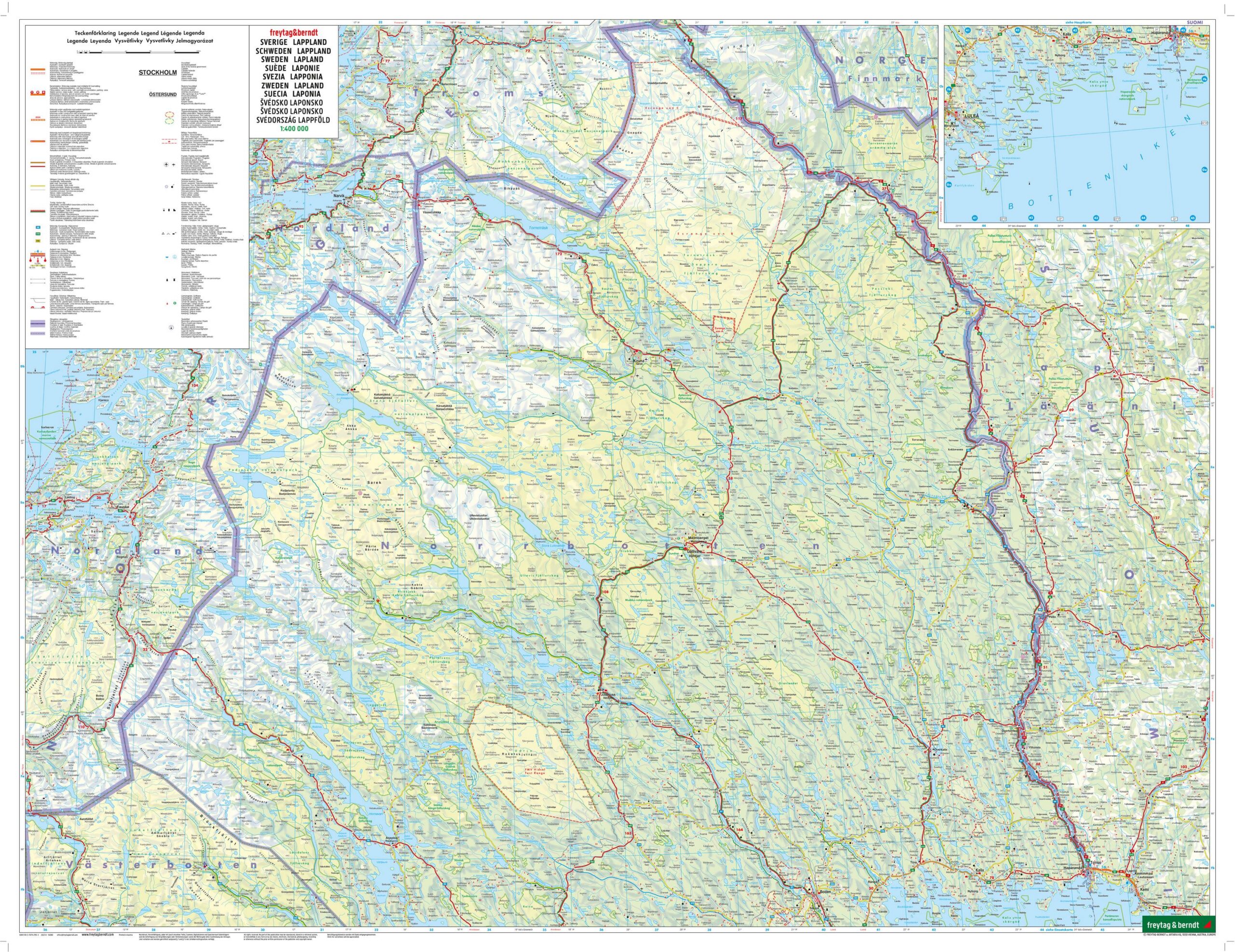
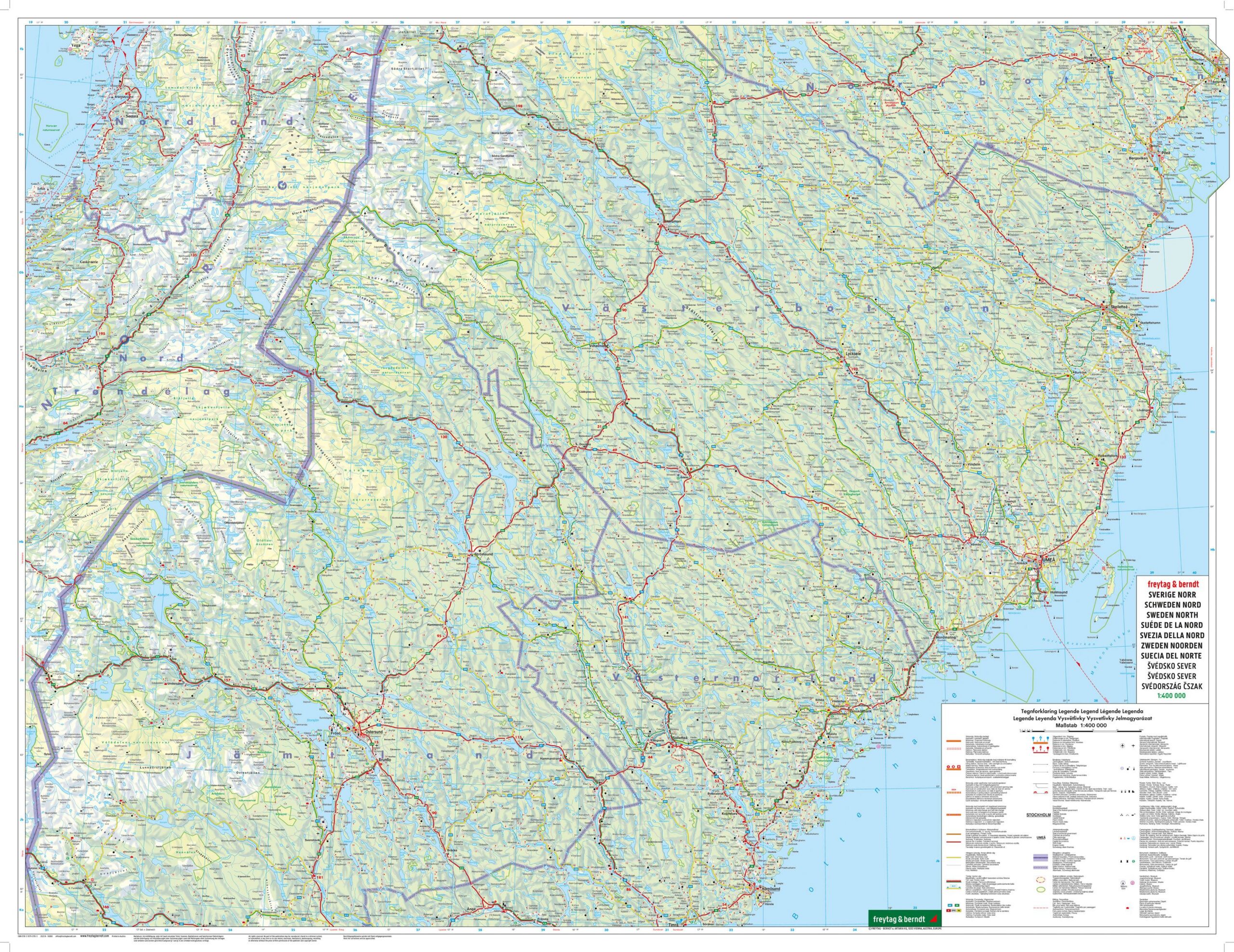
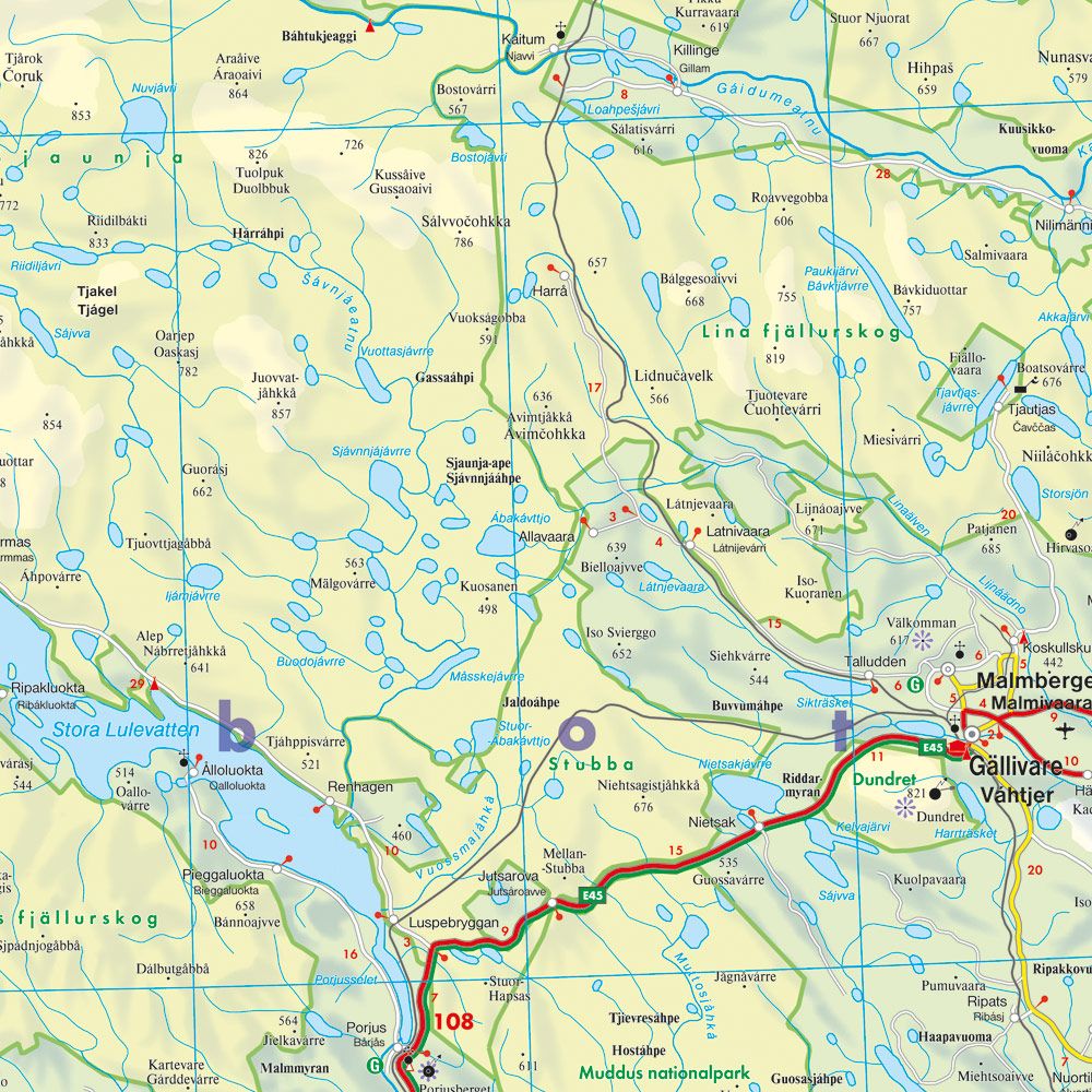
This is a detailed and clear road map of northern Sweden, covering Swedish Lapland and the areas around Umeå and Östersund. Designed for active travelers by car, motorcycle, motorhome or caravan, the map provides a good overview of both main roads and smaller regional roads in the northern parts of Sweden.
The map image is clear and easy to read, with accurate representation of the road network, distances and important connections. Tourist attractions and excursion destinations are marked on the map, making it suitable for both planning and practical use when traveling. The map also includes a comprehensive place index with postcodes and an overview of camping and motorhome sites, which is particularly useful for travelers moving over longer distances in northern regions.
The areas covered offer great nature experiences, from the coast of Umeå with its fishing villages to the inland areas around Östersund and the mountain and wilderness areas of Swedish Lapland. The map is printed on both sides and comes in a large format, which provides a good balance between detail and overview.
This road map is sheet 5 in the map series Sweden, which consists of five regional road maps covering the entire country. The map is printed in Austria and is of high cartographic quality.
The map is released in 2023.