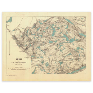

 Notodden 1940
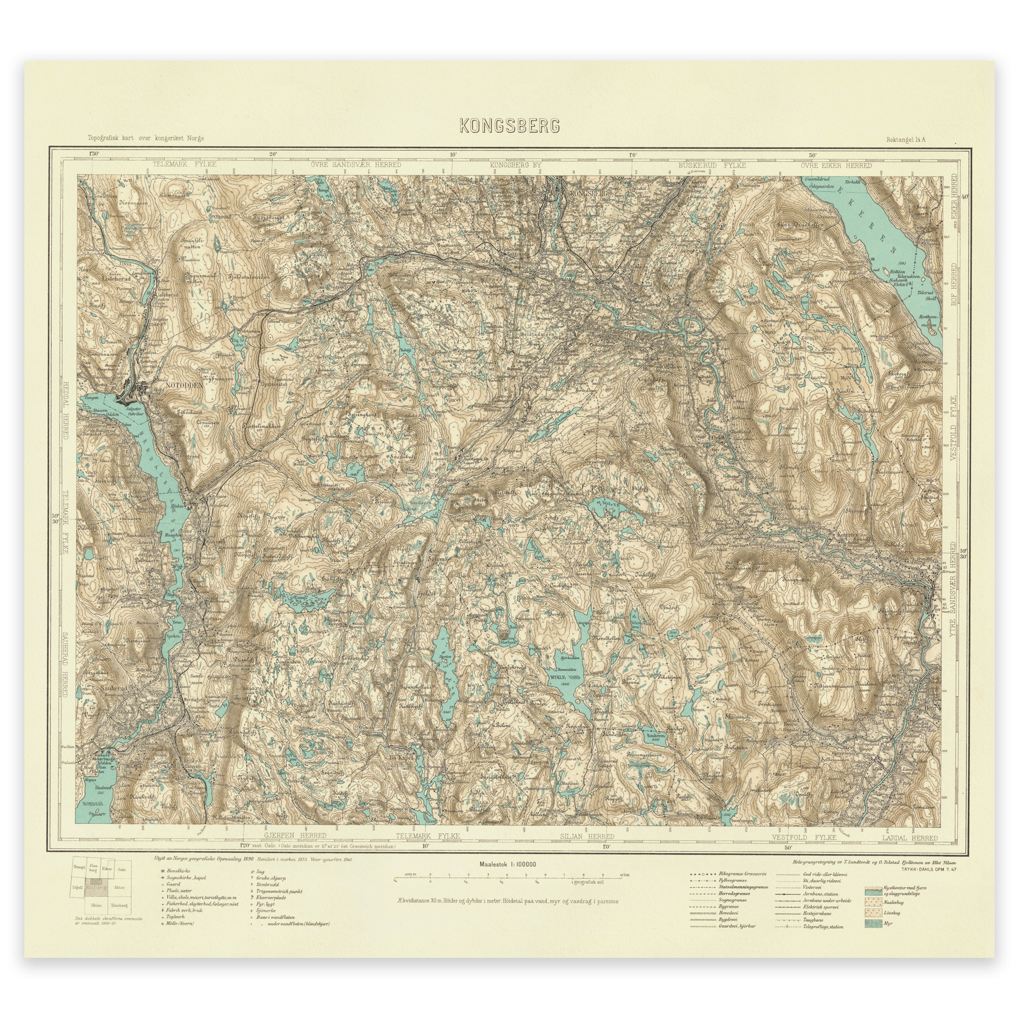
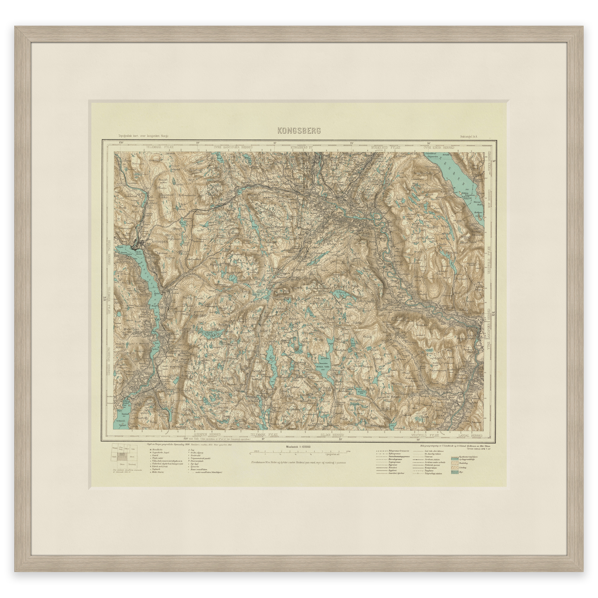
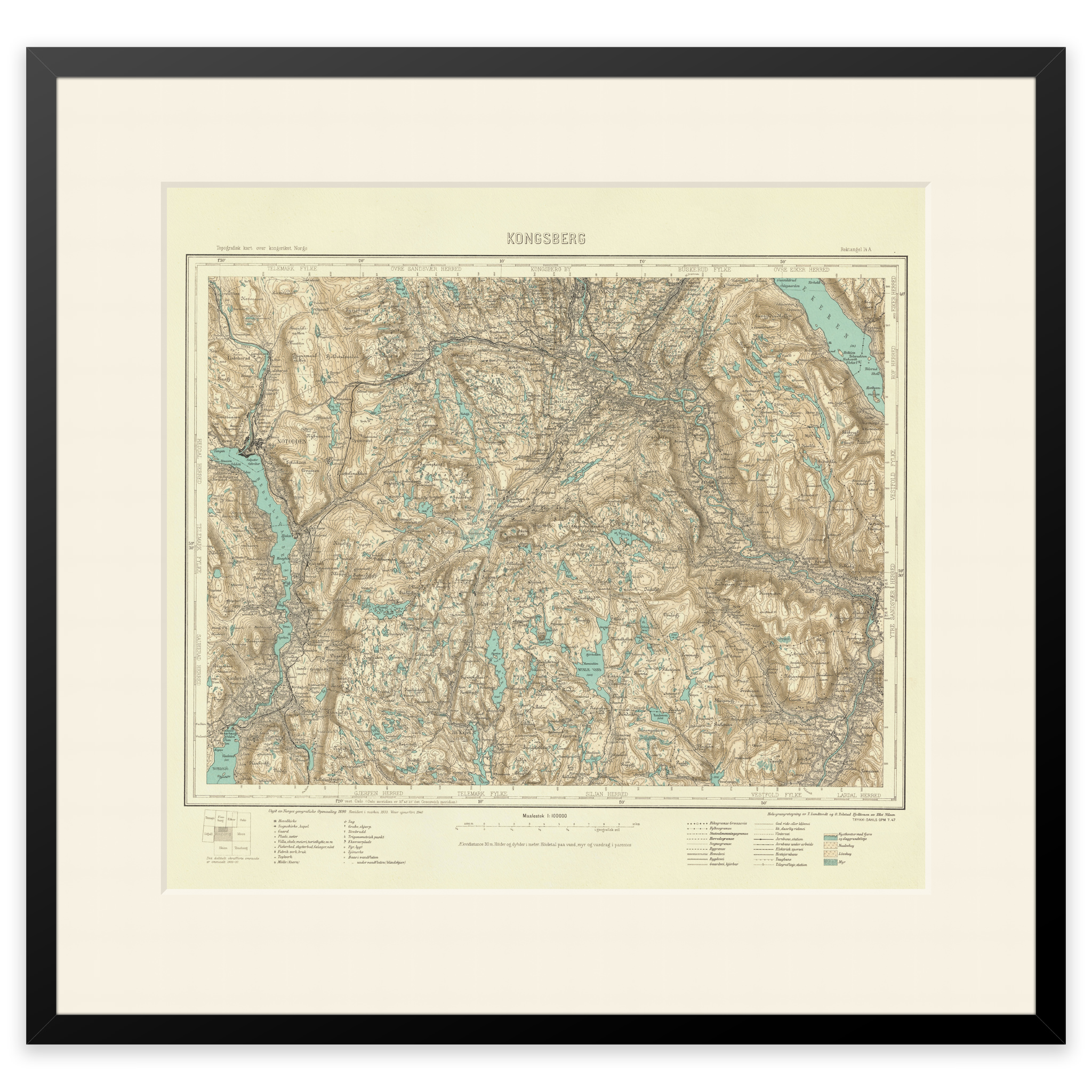
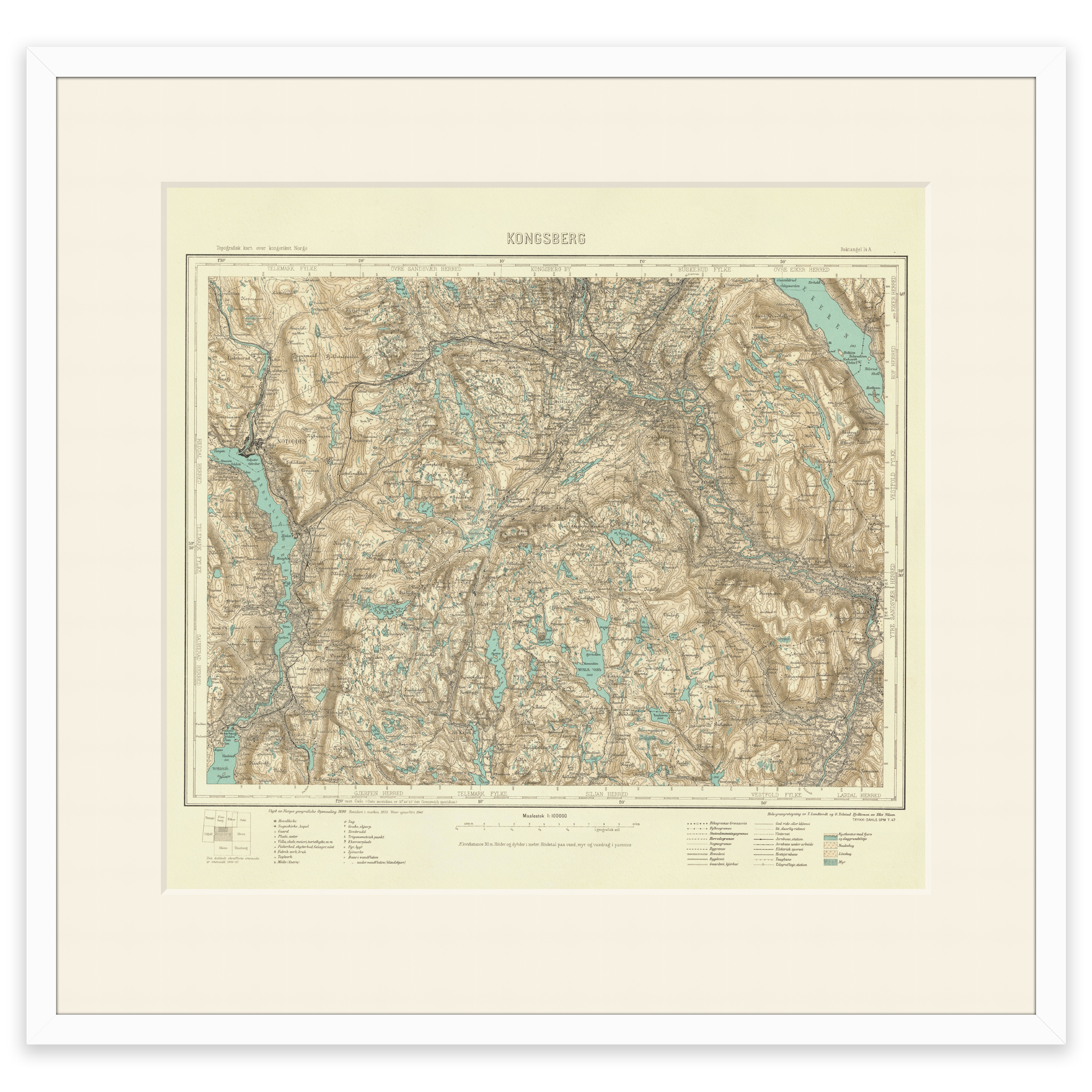
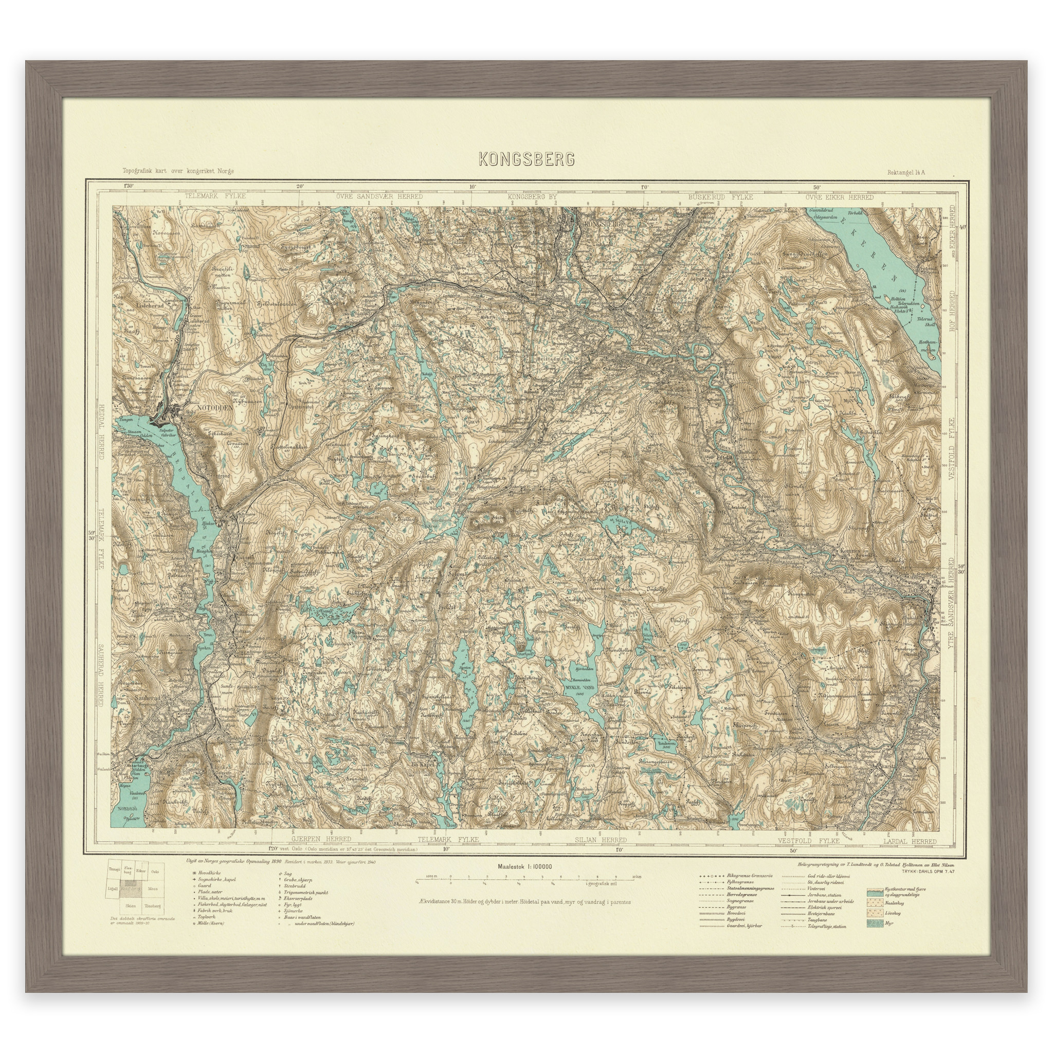
Notodden 1940
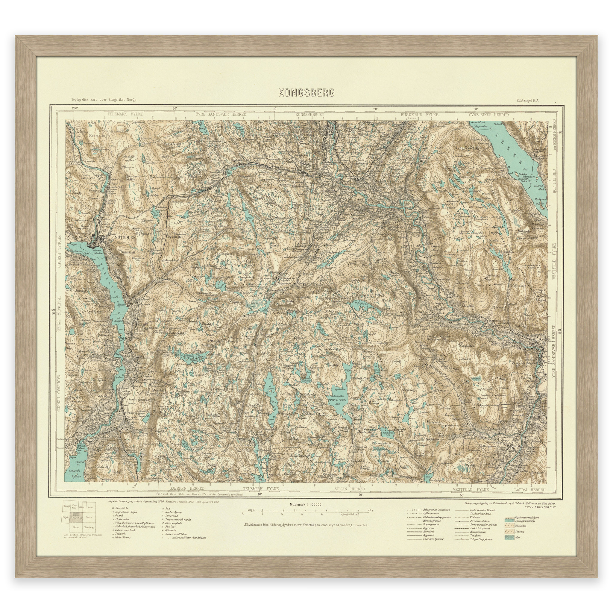
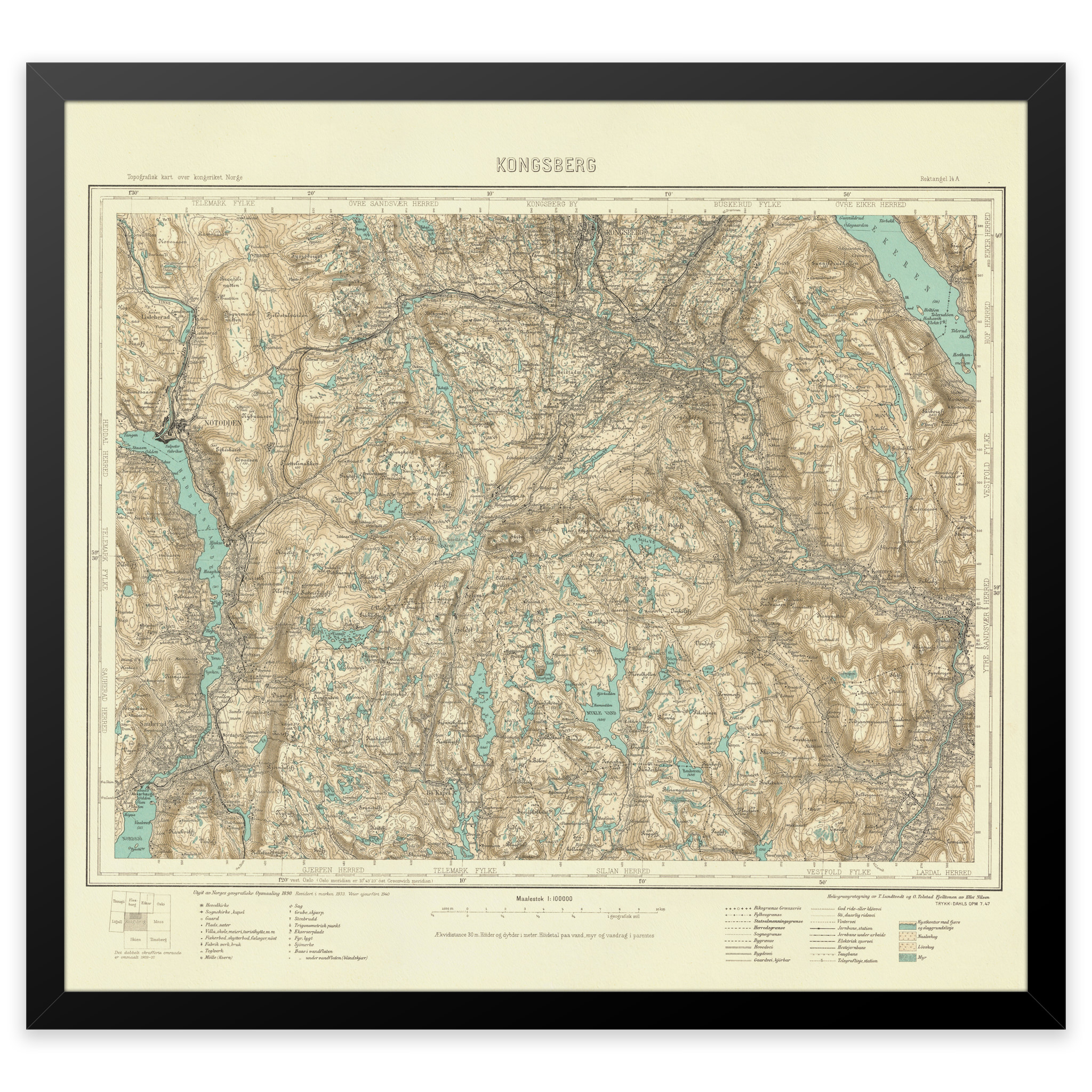
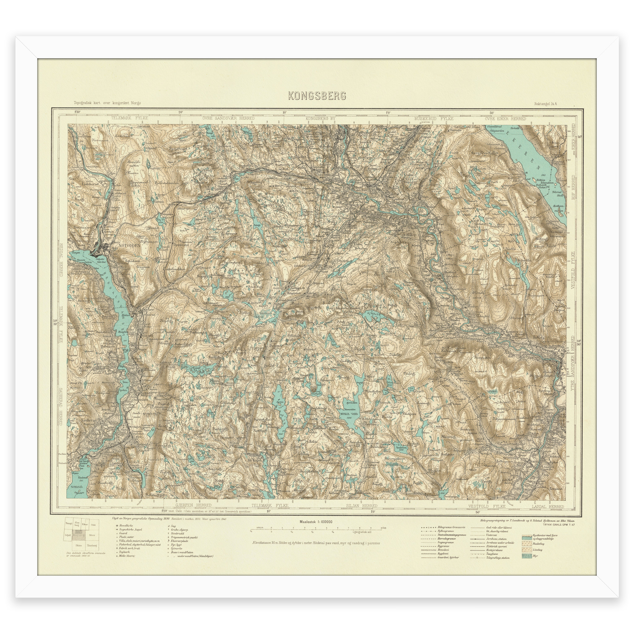
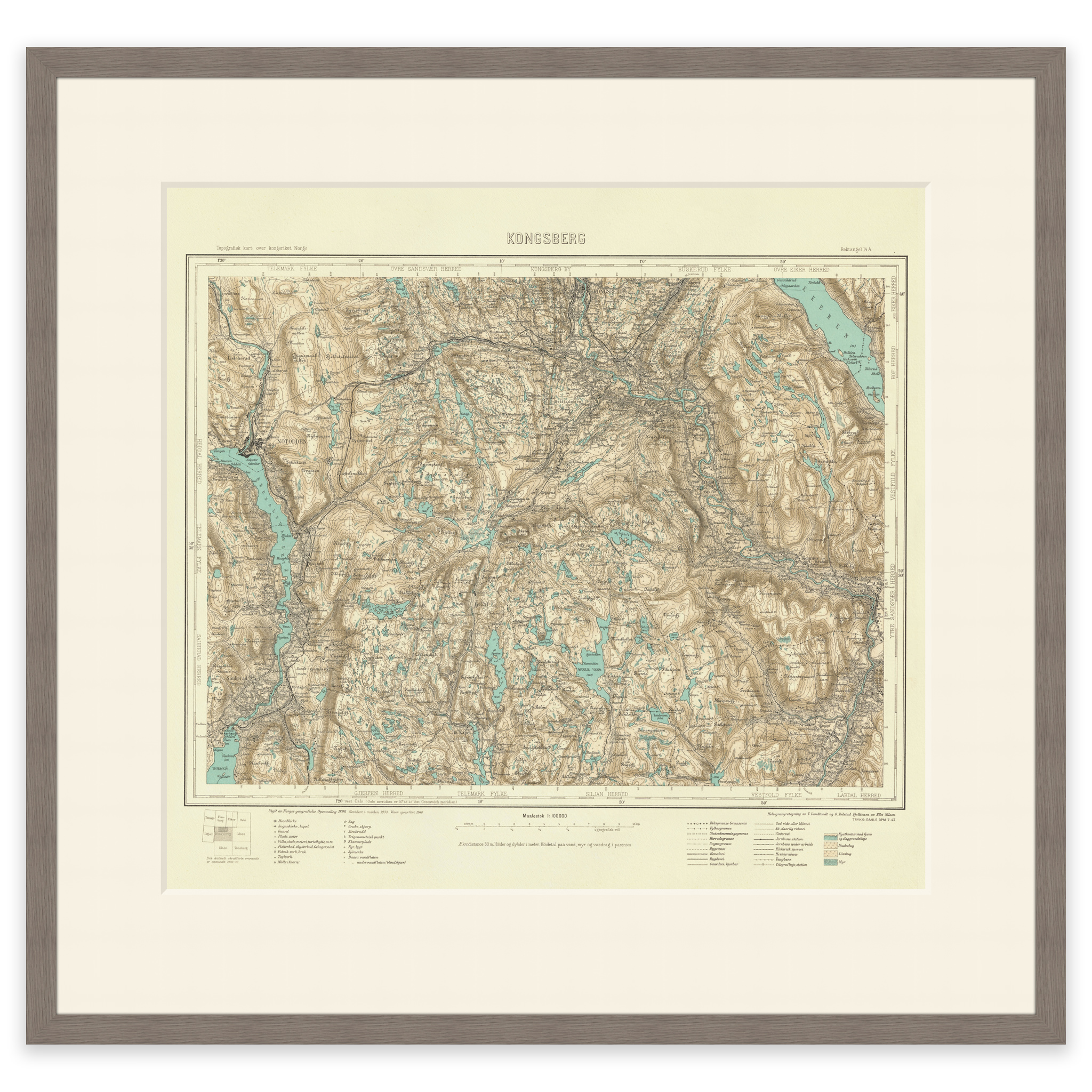
Map of parts of Telemark and Buskerud county, the area Nordagutu, Notodden, Kongsberg and Hvittingfoss. The map was made using the heliogravure technique in 1940 by Torgrim Lundtvedt, Ole Tolstad and Ellef Nilsen. The map is delivered in its original size of 50.6 x 46.8 cm. The size with frame and passe-partout is 68.6 x 65.8 cm. Would you like the map in a different size? Just get in touch – we’ll be happy to give you a quote for customization.