
Description
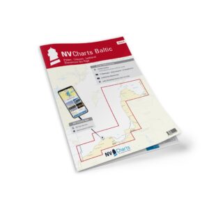
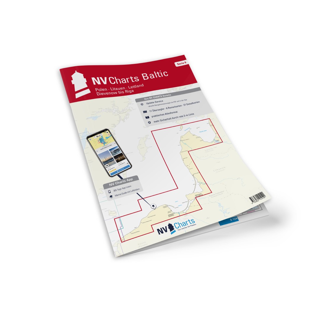
NV Charts Baltic Region 6 Poland-Lithuania-Latvia is a comprehensive chart package with both paper and digital charts for the central parts of the Baltic Sea along the coasts of Poland, Lithuania and Latvia. The charts provide a good overview of the waters, approaches, ports, sailing routes and navigation details, and are specifically designed for leisure sailing, vacation cruising and coastal navigation in the Baltic Sea.
The package comes in a convenient atlas format with paper charts, combined with digital access via the NV Charts app and PC/Mac. The digital charts can be used offline and activated on up to 5 devices, giving you flexible access both onboard and ashore.
Features
Paper charts in atlas format with good overview and details.
Digital access via NV Charts (app + PC/Mac) with offline use.
Detailed chart basis for navigation along Poland, Lithuania and Latvia.
Map overview
Overview maps for the central Baltic Sea waters along Poland, Lithuania and Latvia.
Detailed maps for approaches to Gdańsk, Klaipėda and Riga as well as neighboring waters.
Waterway details for coastal sailing, sailing routes and port areas.
Updates
Always delivered in the latest available edition from NV Charts. If a new and updated edition is launched within 30 days of purchase, the map can be exchanged for a new edition free of charge.
EAN / ISBN
9783910644045