Description
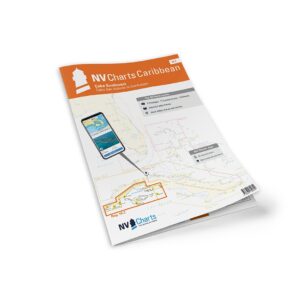
NV Charts Cuba 10.3 Cabo San Antonio-Cienfuegos is a detailed chart set for the southwest coast of Cuba, from Cabo San Antonio in the west to Cienfuegos in the south. Designed for safe coastal navigation, the charts cover both open waters and more sheltered areas along the coast.
The chart set comes in a practical atlas format with clear and easy-to-read cartography. Digital access via the NV Charts app and PC/Mac is also included, so the charts can be used both on board and for planning. The digital charts can be used offline.
Features
Paper charts in atlas format with a high level of detail.
Digital access via the NV Charts app with offline use.
Detailed navigation information for coastal waters, approaches and anchorages.
Good overview of waters, shoals and shipping lanes along the route.
Map overview
The chart set covers the entire coastline from Cabo San Antonio to Cienfuegos, including the Golfo de Batabanó and adjacent coastal waters. The charts provide good support for both planning and sailing in the area.
Updates
Always delivered in the latest available edition from NV Charts. If a new and updated edition is launched within 30 days of purchase, the map can be exchanged for a new edition free of charge.
EAN / ISBN
9783932414435