Description
NV Charts France FR5 Douarnenez-Lorient is a complete chart package of paper and digital nautical charts covering the coasts of Brittany between Douarnenez and Lorient. The charts provide detailed navigational information on water conditions, approaches, ports, anchorages and sailing routes in this traditional French sea area that includes islands, bays and open waters.
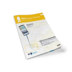
The chart set comes in atlas format with clear and concise cartography, combined with digital access via the NV Charts app and PC/Mac. The digital charts can be used offline, so you have access to up-to-date navigation data both when planning at home and when sailing.
Features
Paper charts in atlas format with high level of detail and good overview.
Digital access via the NV Charts app with offline use on multiple devices.
Detailed navigation information for the waters between Douarnenez and Lorient.
Harbour plans, approaches, tidal information and anchorages along the coast.
Map overview
The chart set covers the entire Brittany coastline between Douarnenez and Lorient with master charts and levels of detail that support navigation between bays, straits, islands and harbors. The charts provide great support for both planning and executing voyages in these varied waters.
Updates
Always delivered in the latest available edition from NV Charts. If a new and updated edition is launched within 30 days of purchase, the map can be exchanged for a new edition free of charge.
EAN / ISBN
9783910644403