Description
Detailed nautical chart atlas for Oosterschelde and Western Scheldt, developed specifically for recreational boaters and sailors. This atlas covers one of the most exciting and tidally influenced sailing areas in the Netherlands and Belgium, providing a comprehensive chart basis for safe navigation in deltas, estuaries and coastal waters.
The map atlas covers the entire Zeeland region, the large delta waters, the Belgian coast and approaches to e.g. Antwerp and Ghent. The area combines tidal waters, nature reserves, canals, locks and open coastal areas, and is very attractive for both touring and longer coastal cruises.
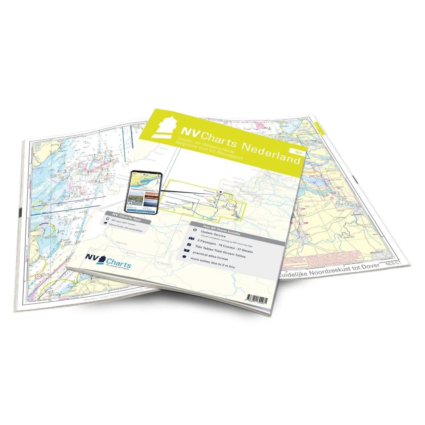
The atlas contains 3 crossing charts, 19 area charts and 27 detailed charts, as well as a tide calendar, harbor plans and digital chart access via the NV Charts app. The maps provide detailed information about headings, currents, harbors, bridges, locks, anchorages and navigationally important conditions, especially adapted for recreational boating.
Coverage includes the south coast of the North Sea, the coast between Dunkirk, Ostend and Westkapelle, the Western Scheldt from its mouth to Antwerp, the Ghent-Terneuzen canal, the Veerse Meer, the entire Eastern Scheldt and the Scheldt-Rhine connection. Also included is a comprehensive set of detailed maps and harbor plans for Nieuwpoort, Ostend, Zeebrugge, Flushing, Veere and Zierikzee.
The charts are delivered in NV Charts’ practical atlas format, opened in A2 and closed in A3, with a flat spine that makes them easy to use on board. The atlas comes in a protective plastic cover and includes digital access to the charts with a 365-day license.
The map series is updated annually and includes ongoing correction services throughout the season. The map base is based on official surveys and in-house surveys, with a high degree of detail even outside the main fairways.
This is a great choice for sailors and power boaters who want complete and up-to-date map coverage for Zeeland, the Scheldt Delta and the Belgian coast.