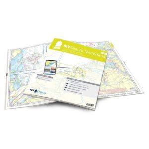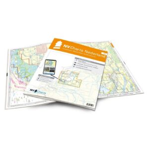
Description
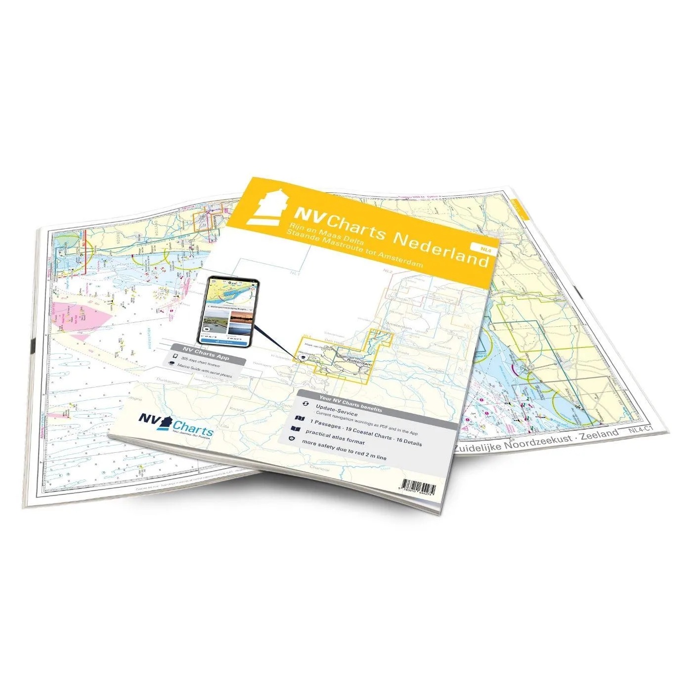
Detailed nautical chart atlas for the Rhine and Meuse Delta in the Netherlands, developed specifically for recreational boaters and sailors. This atlas covers one of Europe’s most complex and popular sailing areas, with a unique combination of coastal waters, tidal currents, estuaries, canals and inland sailing areas.
The map atlas covers the southern Dutch waters around the Rhine and Meuse delta, including Zeeland, the North Sea delta areas and the major waterways around Rotterdam. From open coastal waters and tidal passages to sheltered canals, lakes, locks and historic harbor towns, the area is very popular for both sailboats and powerboats.
The atlas has been developed specifically for recreational boating and contains overview maps, waterway maps, detailed maps and harbor plans with information for safe navigation in the area. The maps provide good coverage of leads, approaches, bridges, locks, marinas, anchorages and navigationally important information both on paper and digitally.
The charts are delivered in NV Charts’ convenient atlas format, opened in A2 and closed in A3, with a flat spine that makes them very user-friendly on board. The atlas comes in a protective plastic cover and includes digital access to the charts in the NV Charts app with a 365-day license for offline navigation on mobile, tablet and PC.
The map base is based on official surveys and is optimized for recreational boats, with a high degree of detail even outside the main fairways. The atlas is updated annually, and digital maps can be continuously updated throughout the season.
This is a great choice for sailors and boaters who want complete and up-to-date chart coverage for Zuid-Holland, Zeeland and the major delta waters of the Netherlands.