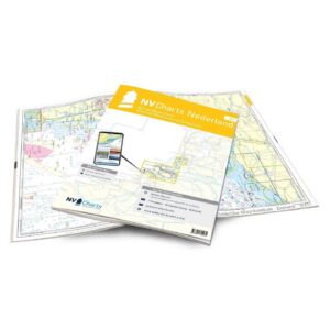
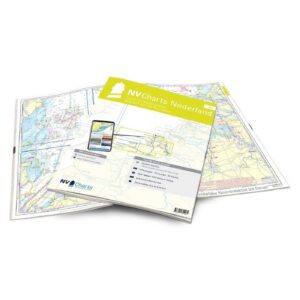
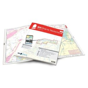
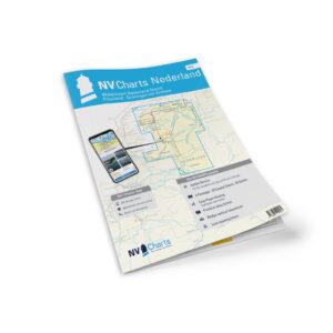
Description
Detailed nautical chart atlas for IJsselmeer, Markermeer and Randmeren, developed especially for leisure boats and sailors. This atlas covers one of Europe’s most popular sailing areas and provides a comprehensive chart basis for both planning and navigation along the way.
The map atlas covers the entire IJsselmeer with associated lake areas, Randmeren and adjacent waters, including important sailing areas around Lemmer, Lelystad, Enkhuizen, Hindeloopen and Amsterdam. The area is known for its open lake waters, historic harbor towns, locks, canals and good sailing conditions, and is very popular for both touring and longer cruises.
The atlas contains 1 passage map, 11 area maps and 42 detailed maps, as well as comprehensive harbor plans, tide calendar and digital map access via the NV Charts app. The charts provide detailed information on leads, approaches, harbors, bridges, locks and navigation conditions, and are specially adapted for recreational boating.
Coverage includes northern and southern parts of the IJsselmeer, Markermeer, Gouwzee, the Frisian lakes, the Randmeren system, Ketelmeer and the waters towards Zwolle. In addition, a very comprehensive set of detailed charts and harbor plans for Kornwerderzand, Den Oever, Stavoren, Medemblik, Hoorn, Volendam, Marken, Amsterdam, Harderwijk, Urk, Kampen and many more are included.
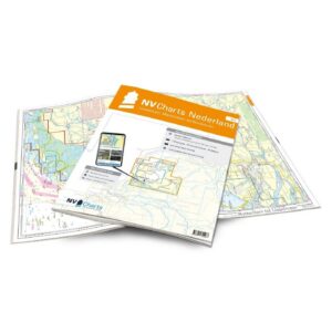
The charts are delivered in NV Charts’ practical atlas format, opened in A2 and closed in A3 format, with a flat spine that makes them well suited for use with a course ruler on board. The atlas comes in a protective plastic cover and includes digital access to the charts with a 365-day license.
The map series is updated annually, and digital maps can be updated throughout the season. The map base is based on official data and is optimized for recreational boats, with a high level of detail and user-friendly layout.
This is a great choice for sailors and power boaters who want complete map coverage for the IJsselmeer and the Dutch lake and canal areas.