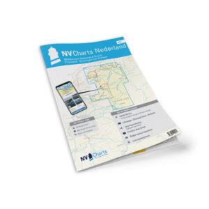
Description
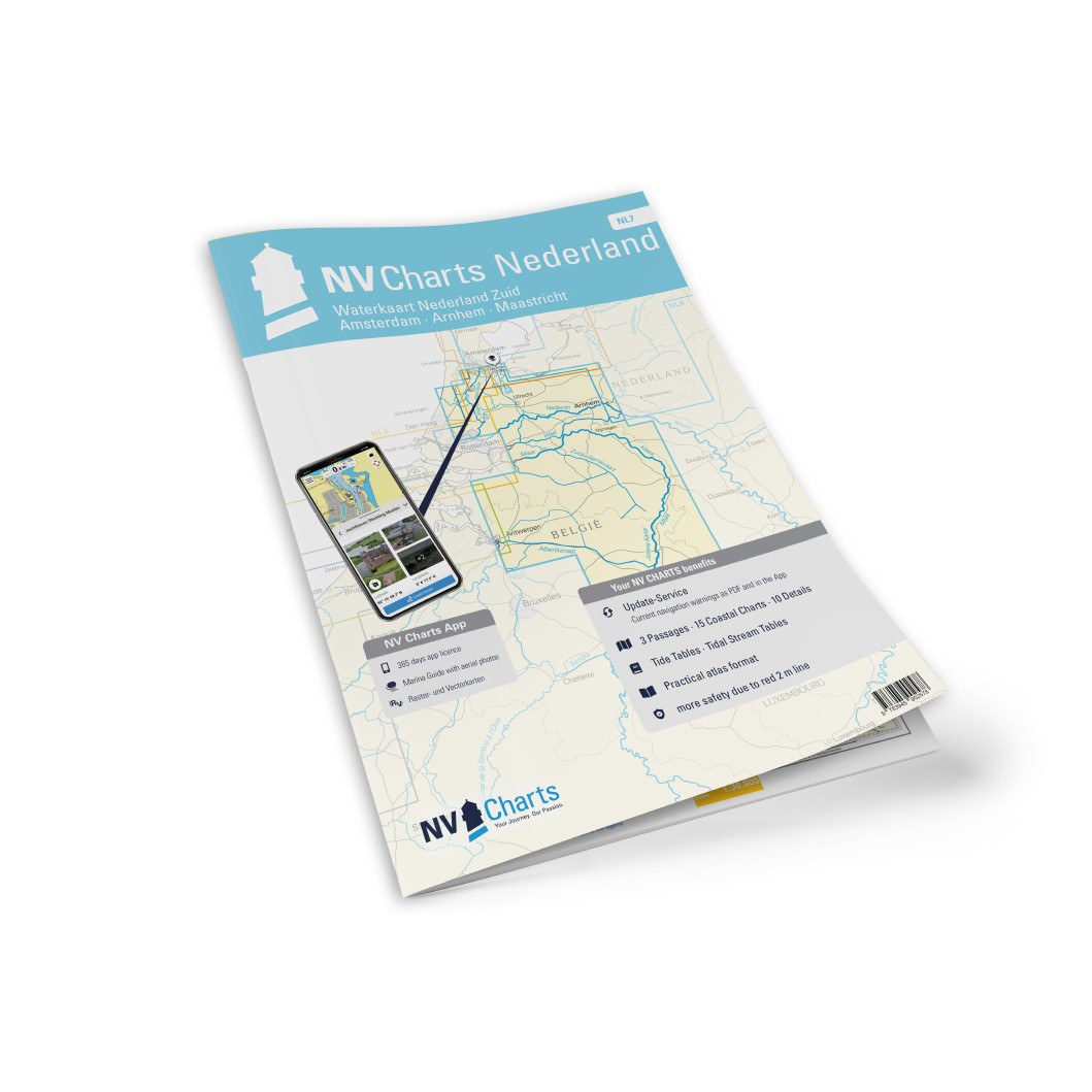
NV Charts NL7 Netherlands – Waterkaart Nederland Zuid is a detailed chart set for the southern parts of the Netherlands’ inland waters, from Arnhem on the Rhine and south to Maastricht on the Maas. The charts cover a dense network of rivers, canals and lakes, and are specifically designed for recreational boating, canal cruising and river navigation.
The chart set comes in a practical atlas format with clear and easy-to-read cartography. Digital access via the NV Charts app and PC/Mac is also included, so the charts can be used both on board and for planning. The digital charts can be used offline and provide good support for safe navigation in inland waters.
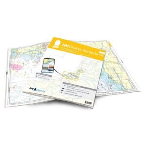
Characteristics
Paper maps in atlas format with a high level of detail.
Digital access via the NV Charts app with offline use.
Detailed navigation information for rivers, canals, locks and bridges.
Good overview of sailing heights, depths and port calls.
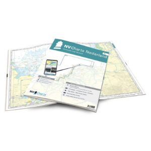
Map overview
The map set covers southern Dutch waterways from Arnhem to Maastricht, including key river stretches and interconnecting canal systems. The maps provide a good overview of locks, bridges, harbors and important navigation points along the route.
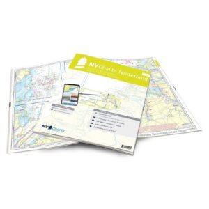
Updates
Always delivered in the latest available edition from NV Charts. If a new and updated edition is launched within 30 days of purchase, the map can be exchanged for a new edition free of charge.
EAN / ISBN
9783945902578