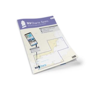
Description
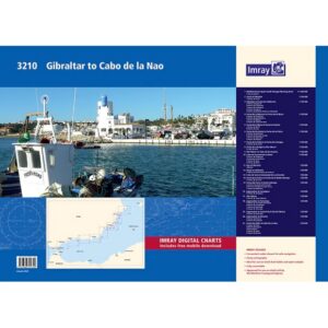
NV Charts Spain ES3 Gibraltar-Cabo de San Antonio is a complete chart package of paper and digital nautical charts covering the southern part of the Iberian coast, from Gibraltar at the entrance to the Mediterranean to Cabo de San Antonio on the Spanish coast. The charts provide detailed navigational information on coastal waters, approaches, harbors, depths and anchorages along this important sailing corridor.
The chart set comes in atlas format with clear, user-friendly cartography, combined with digital access via the NV Charts app and PC/Mac. The digital charts can be used offline so you have access to up-to-date navigation data both when planning at home and when sailing out on the water.
Characteristics
Paper maps in atlas format with a high level of detail and overview.
Digital access via the NV Charts app with offline use on multiple devices.
Detailed navigation information for the coastal waters between Gibraltar and Cabo de San Antonio.
Port plans, approaches, sailing routes and anchoring opportunities along the coast.
Map overview
The chart set covers the waters from the Strait of Gibraltar eastwards along Spain, including coastlines, banks and canals. The charts provide good support for both local sailing and longer crossings in this area.
Updates
Always delivered in the latest available edition from NV Charts. If a new and updated edition is launched within 30 days of purchase, the map can be exchanged for a new edition free of charge.
EAN / ISBN
9783910644274