
Description
Maps through the border landscape between England and Wales.
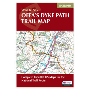
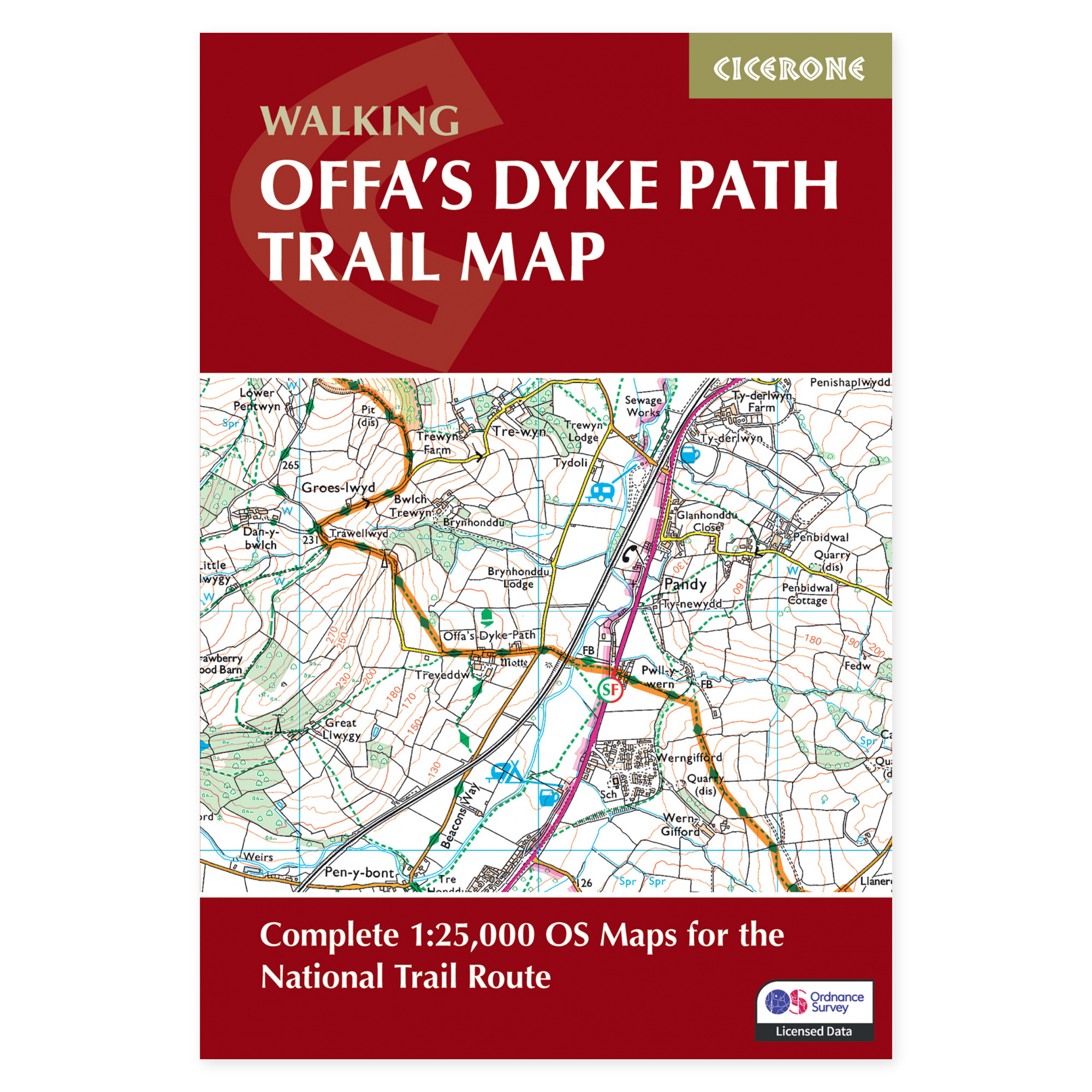
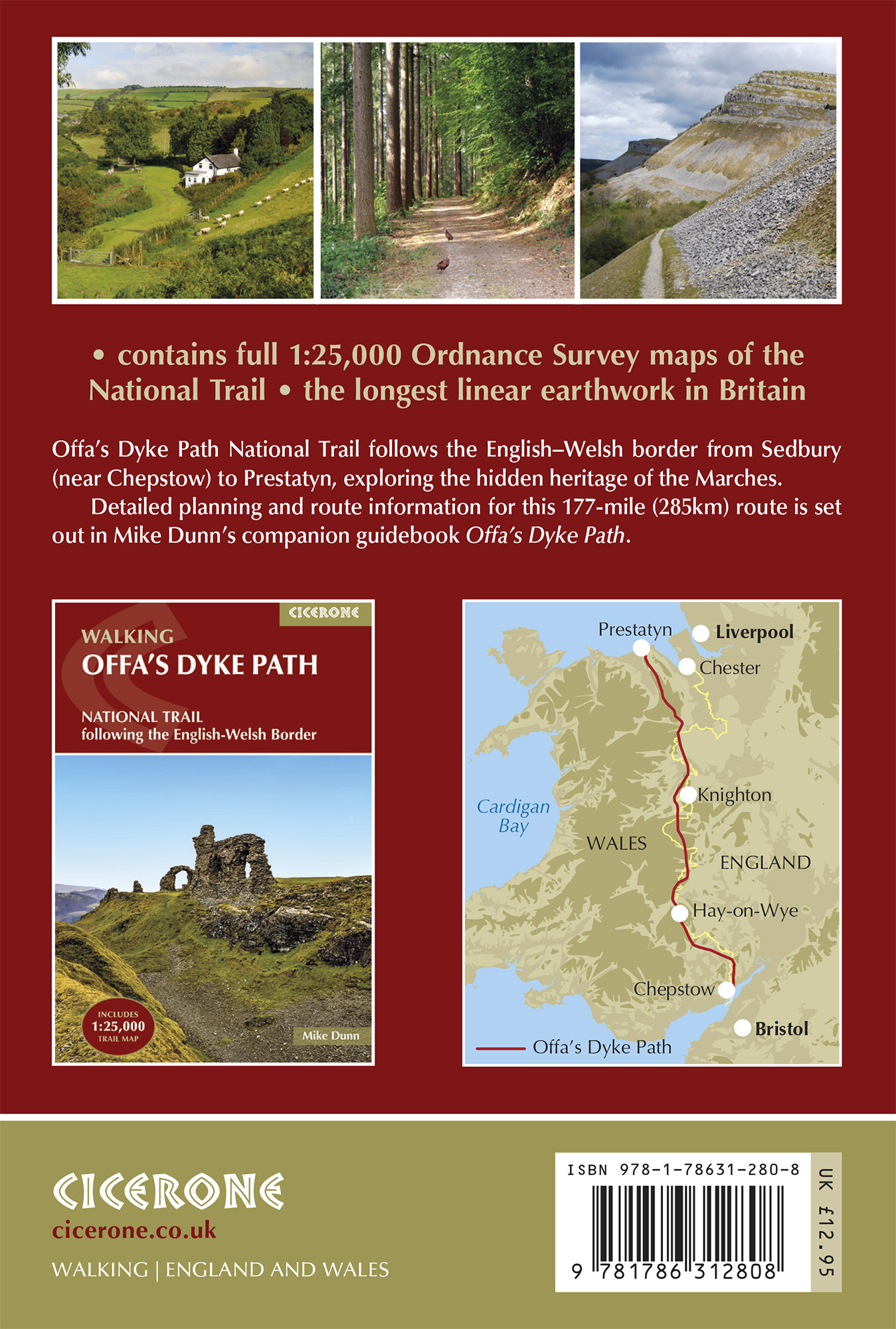
Offa’s Dyke Path stretches from Sedbury near Chepstow to Prestatyn on the north coast of Wales. The approximately 283-kilometer route combines valleys, hills, and mountain areas along a historic border. This separate map booklet displays the entire journey in a format that is easy to access on the go.
Ordnance Survey at 1:25,000 scale.
The marked route follows detailed OS maps, enabling users to read the terrain and understand the connection between paths, roads, and settlements. A single booklet is practical when you wish to follow the journey day by day. It can also be used to assess how a shorter section fits into a larger travel plan.
A supplement to your prepared itinerary.
The route passes through areas including Hay-on-Wye, Welshpool, and Llangollen, encompassing both easier terrain and more exposed high ground. The maps help you track your progress and view the surroundings around the day’s stage. Accommodation, supplies, and transport should be planned with the support of supplementary route information.
Map booklet or complete guide?
This product is the separate map booklet. It is also included with Cicerone’s Offa’s Dyke Path guide. Choose the complete book when you desire detailed stage descriptions and practical advice for the entire journey. The map booklet is relevant if you already possess such information, or wish to have an extra map set for your hiking party.
A long tradition of hiking guides.
Cicerone has published guidebooks since 1969. The publisher emerged among climbers and mountaineers who wanted to share thorough knowledge of their routes – a tradition that still characterizes these compact books for walking, trekking, and other outdoor experiences.
About this edition.
Author: Mike Dunn. English language. 80 pages. Second edition, published in 2026. ISBN 9781786312808.