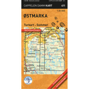
Description
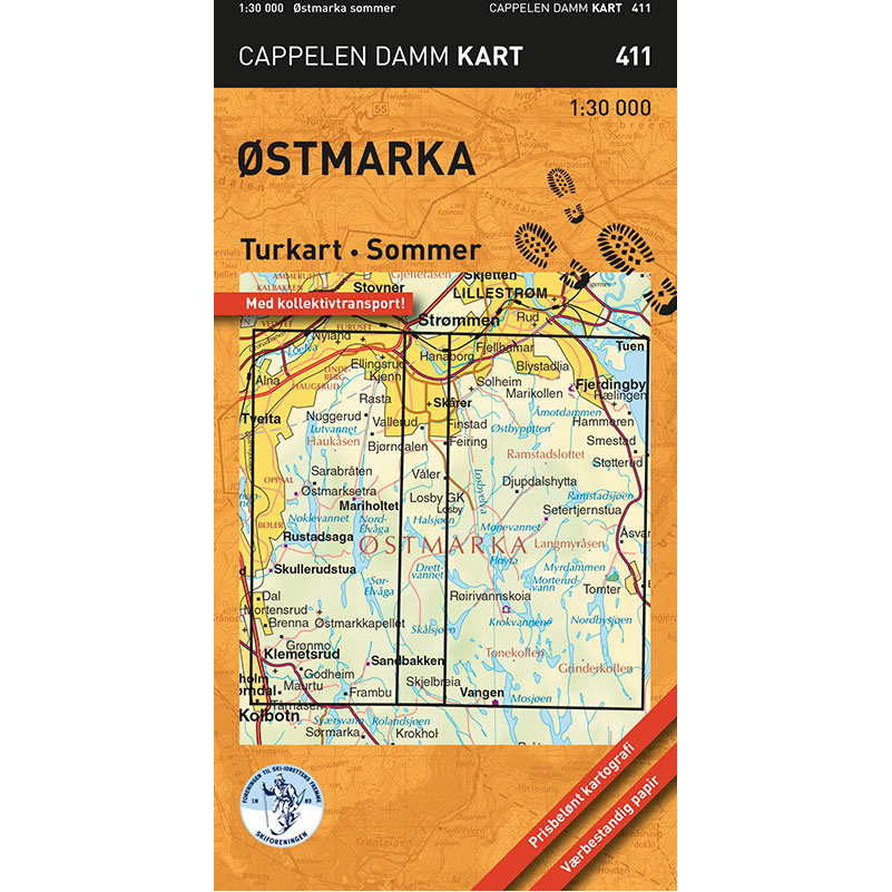
Østmarka sommer turkart (part 411 in the Cappelen Damm map series) is a detailed hiking map published in 2021. The map is folded in a small and handy format that makes it easy to carry and convenient to use on a trip.
The map covers the area between Vangen and Klemetsrud in the south and Ellingsrud and Løvenstad in the north. In the west it stretches from Skullerudstua and Oppsal, and in the east to Fjerdingby and Fjellstad. With a scale of 1:30,000, you get a good level of detail and an overview of trails, terrain and hiking destinations in Østmarka.
The summer edition shows blue-marked trails, cycling routes, swimming spots, restaurants, accommodation and public transport, as well as other useful information for hikers. The map is printed on weatherproof paper with high durability and good rain tolerance, suitable for use in all weathers.
The Østmarka map is a practical choice for both short local trips and longer day trips in the field.
Cappelen Damm no longer publishes maps and atlases. This product is sold from existing stock, and will be available while stocks last. When the stock is empty, the map will not be printed in a new edition.