
 Øyeren 1859


Øyeren 1859
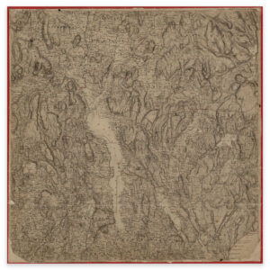
Øyeren is at the center of this hand-drawn map from 1859, covering the area of Kløfta, Lillestrøm, Spydeberg and Aurskog. The map comes in its original size of 57.9 x 58.3 cm. The size with frame and passe-partout is 75.9 x 77.3 cm. Would you like the map in a different size? Just get in touch – we’ll be happy to give you a quote for customization.