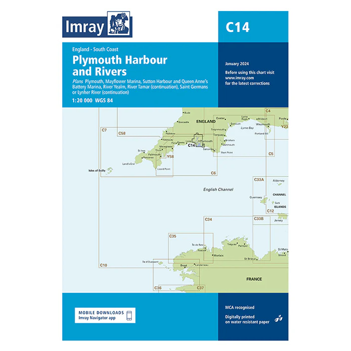
Description
This boating map covers Plymouth Harbour and adjacent rivers and harbor areas on the south coast of England. The map includes detailed plans for Plymouth Sound, Hamoaze and the approaches to the rivers Tamar, Tavy and Plym, as well as harbors and marinas in the area.
The map includes details of Plymouth Yacht Haven, Mayflower Marina, Sutton Harbour, Queen Anne’s Battery Marina, River Yealm, Saint Germans and inner parts of River Tamar. The area is a key hub for leisure, sailing and commercial traffic and offers complex navigational conditions with tidal currents, military zones and heavy traffic.
The chart is well suited for leisure boats and sailboats traveling locally in the Plymouth area or using the port as a starting point for sailing in the English Channel. Imray is a renowned British chart manufacturer and their charts are developed with a focus on high readability, practical use and clear presentation of navigation-relevant information.