


Description
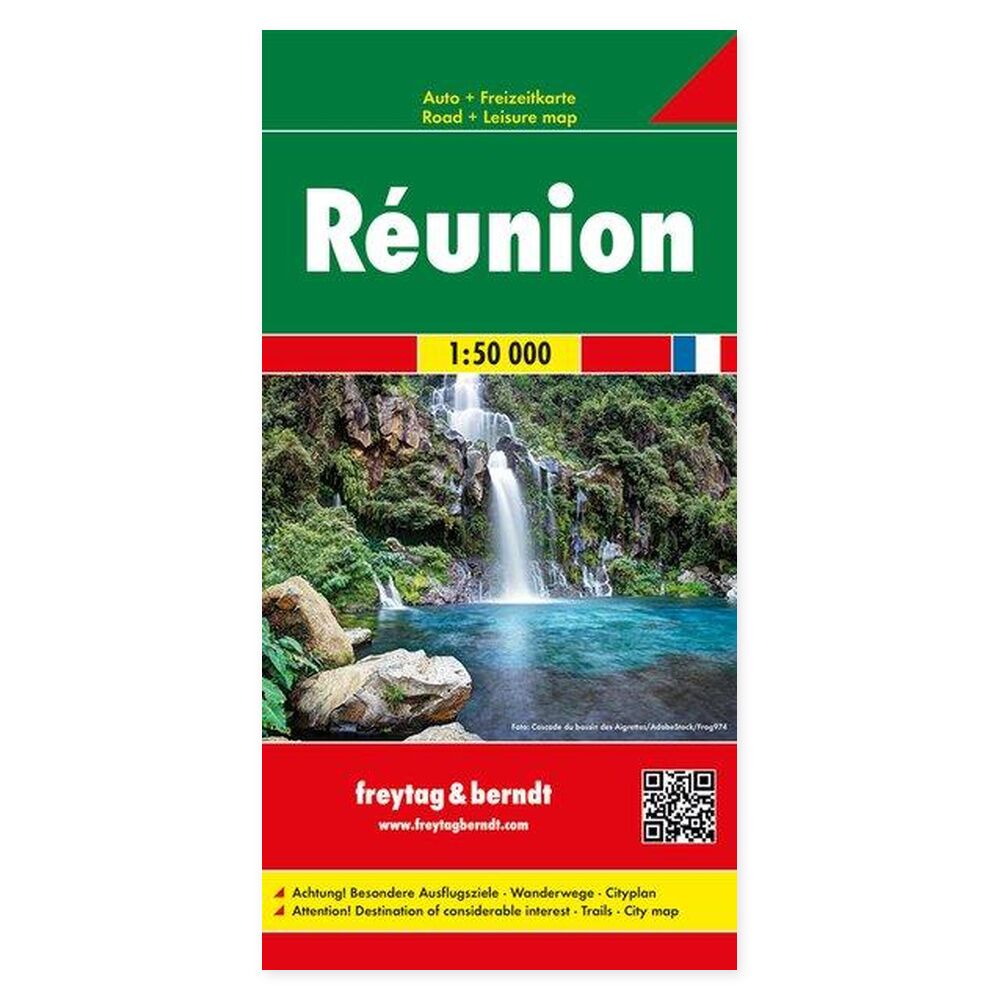
Réunion – Road Map (multilingual) from Freytag & Berndt is designed to help you plan trips and find your way around the area.
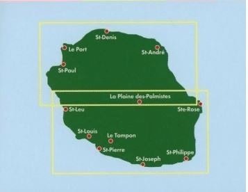
Content and Coverage. Road map of Réunion showing roads, tourist attractions, and campsites. A place-name index helps you locate the island’s towns and smaller localities. The scale allows for a detailed depiction of the island: one centimeter on the map corresponds to 500 meters in the terrain. The map is printed on both sides, with an unfolded size of approximately 86 × 94 cm and a folded size of approximately 25.5 × 13 cm. The legend is available in French, English, and German.
Plan on paper. An unfolded map allows you to compare several locations simultaneously and view your route in context. Use place names and the map’s legend to find relevant stops and choose which areas you wish to explore further.
Practical information: Scale 1:50,000. Year of publication 2018. ISBN 9783707916850. Item number AK 219. Publisher Freytag & Berndt.
