
Description
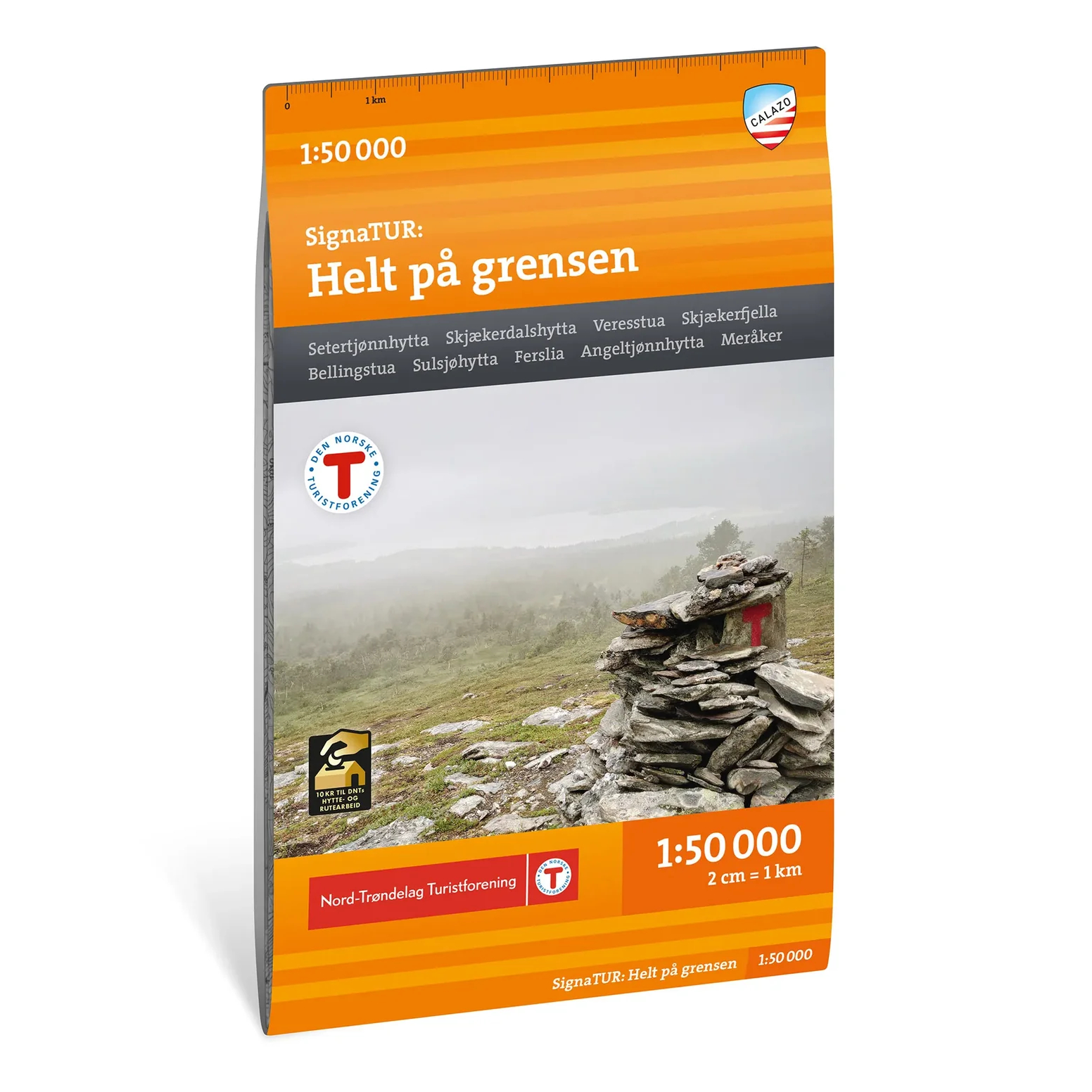
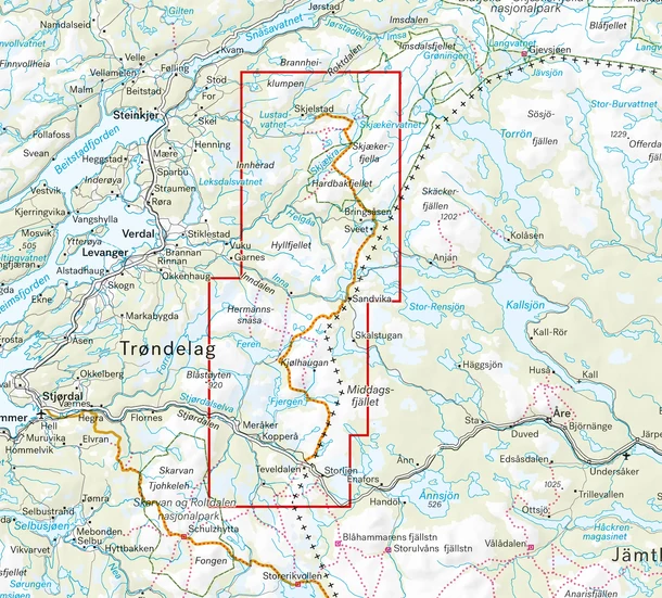
Calazo Helt på grensen covers the entire 135-kilometer-long DNT SignaTur route from Ogndal in Steinkjer to Teveldal in Meråker. The hike is estimated to take about eight days and passes through some of the largest wilderness areas in Nord-Trøndelag.
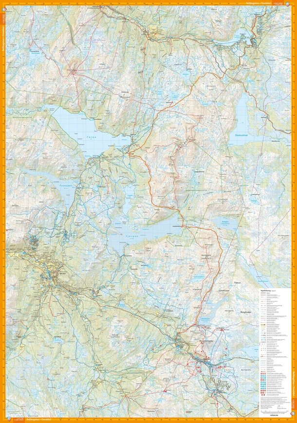
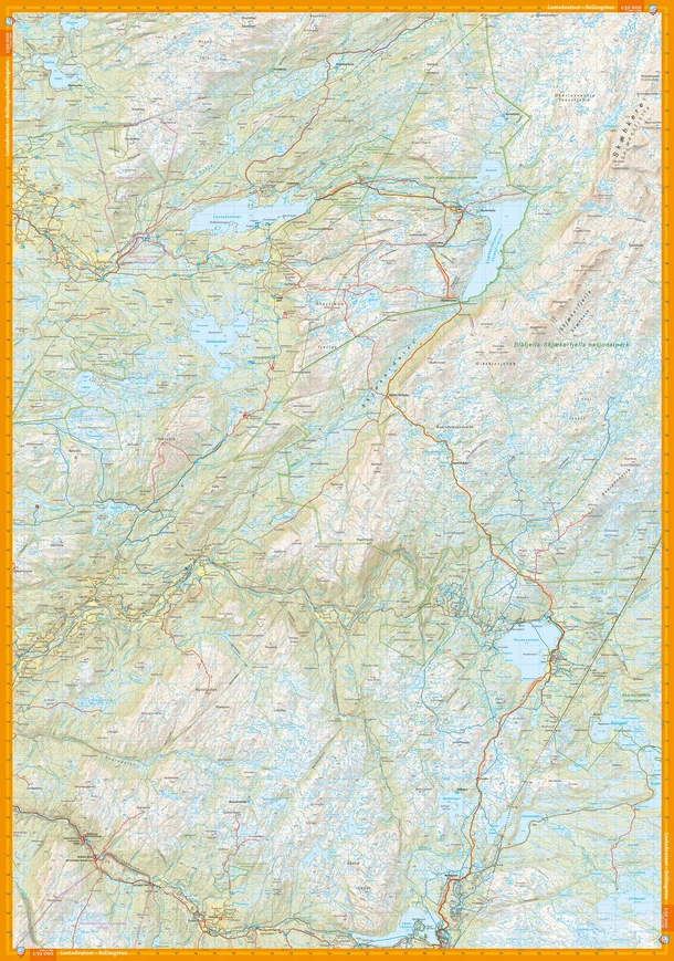
The route follows marked summer trails and passes seven of the DNT’s self-service cabins. Along the way, parts of the hike go through Blåfjella–Skjækerfjella National Park, one of the largest contiguous wilderness areas in southern Norway. The entire SignaTur route, from start to finish, is shown on this single map at a scale of 1:50,000.
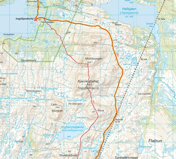
The map was developed in collaboration with the Nord-Trøndelag Tourist Association and is part of Calazo’s modern hiking map series. The map is based, among other things, on terrain data from aerial laser scanning, which provides a detailed representation of mountain slopes, waterways, peaks, and other landforms.
The map was last updated in 2026 and is a natural choice both for those planning to hike the entire “Helt på grensen” trail and for hikes in the areas along the route.
For every map sold, Calazo donates 10 kroner to DNT’s work on cabins and trails.