

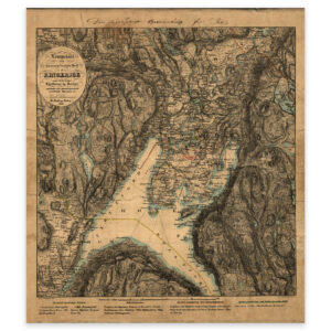
 Ringerike 1846


Ringerike 1846
Original description: “Lommekart over den mest besøgte Deel af Ringerige” The map is from 1846 and was made by Carl Schwenzen. The map is delivered in its original size of 31.5 x 35.7 cm. The size with frame and passe-partout is 47.5 x 52.7 cm. Would you like the map in a different size? Just get in touch – we’ll be happy to give you a quote for customization.