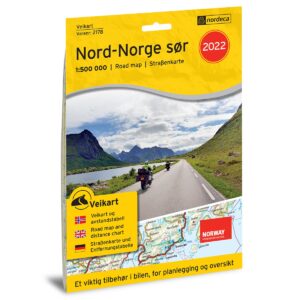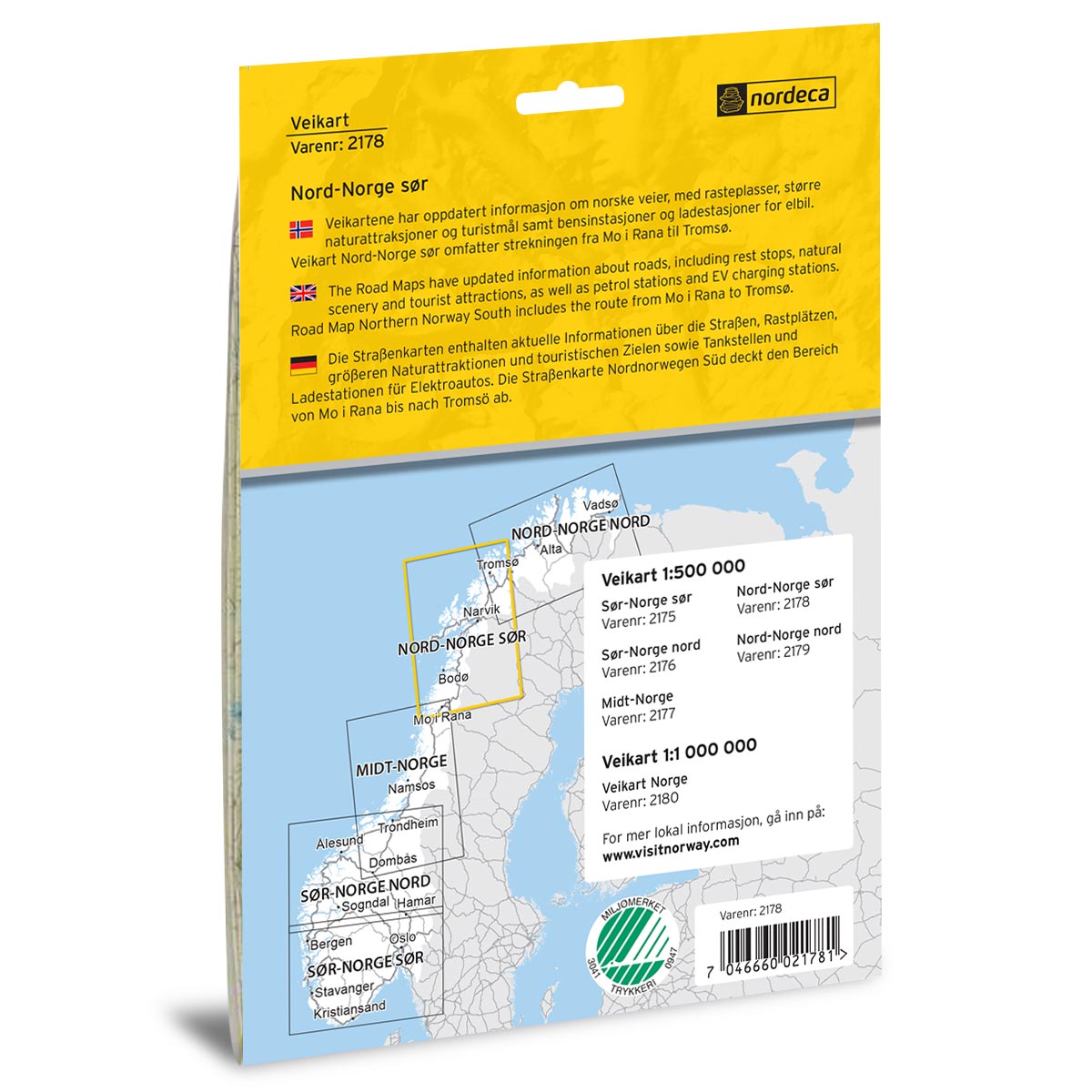
Description
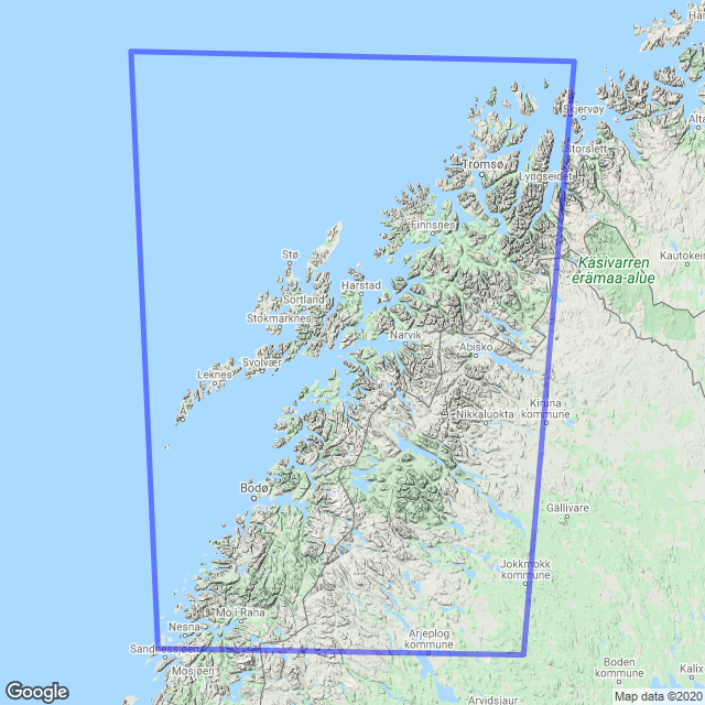
Road Map Southern Northern Norway is a paper map at scale 1:500,000 (1 cm = 5 km) covering the southern part of Northern Norway – including the route from Mo i Rana to Tromsø, including major towns such as Bodø, Narvik and Bardufoss. The map provides a clear and comprehensive presentation of national and county roads, ferry routes, rest areas, petrol stations and electric vehicle charging stations, as well as a selection of natural and cultural attractions that may be useful along the way.
The map was published in 2022 by Nordic Maps (formerly Nordeca). Although some roads, facilities and details related to destinations may have changed since publication, this road map still provides a good overview of the area and is well suited as inspiration and travel aid on your road trip – whether you plan your trip in advance or use it in the car.
The map covers places such as Mo i Rana, Bodø, Narvik, Bardufoss and Finnsnes and Tromsø.