Description
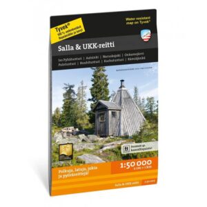
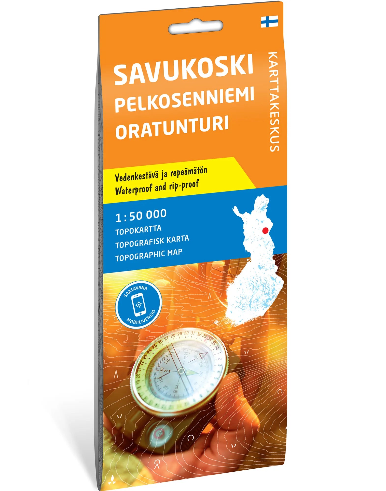
Topographic map for eastern Lapland. The map covers Savukoski, Pelkosenniemi and Oratunturi at a scale of 1:50 000. It shows the wilderness areas between Kitinen and Luiro, featuring large bogs and a long stretch of the Kemijoki river.
From wilderness to popular hiking areas. Oratunturi and Kivitunturi with their trails are included on the map. Coverage also extends to Luosto and the northern parts of Pyhä-Luosto National Park. This map is suitable for understanding the connections between mountain areas, watercourses, and current starting points for hikes.
Waterproof and tear-resistant. The map sheet measures 70 × 100 cm and is printed on durable Tyvek. It is supplied folded, allowing you to use a large map sheet for planning and pack it down for your trip. This is the Karttakeskus edition, distributed by Calazo.
Practical Information: Scale 1:50 000. Map sheet 70 × 100 cm. Publisher Karttakeskus. Last revised 2022 according to Calazo. ISBN 9789522667540.