


Description
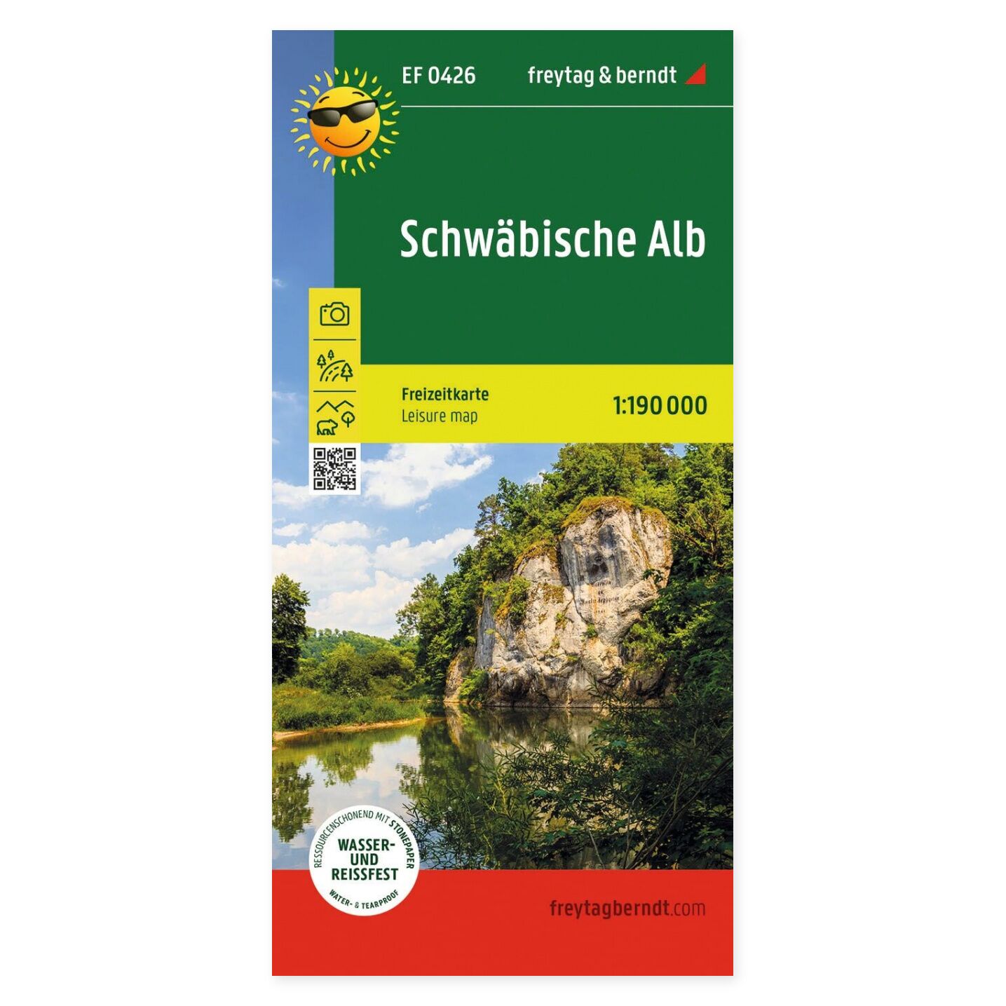
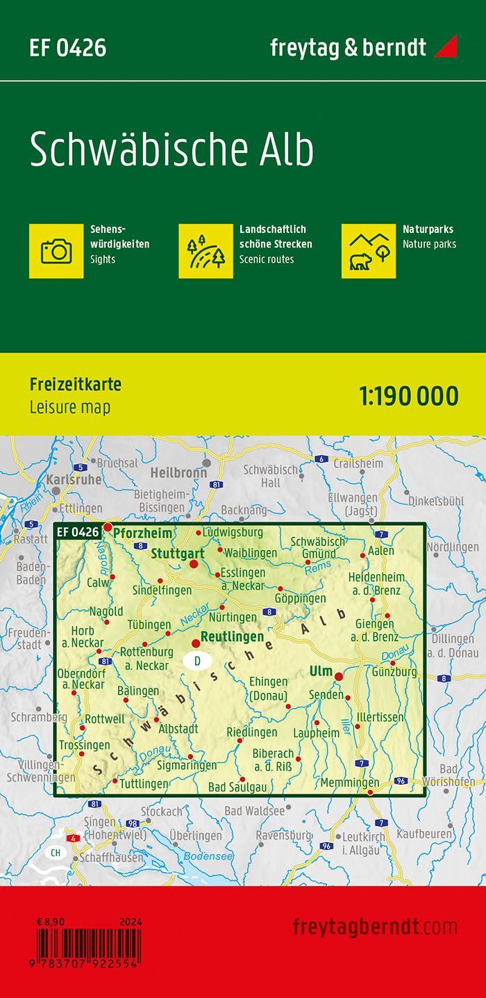
The Schwäbische Alb leisure map at a scale of 1:190,000 provides an overview for planning holidays and excursions. The paper map allows you to view destinations in context and compare routes and stops in the area.
Sights, nature parks, and tourist information help you find experiences along the way. The map is practical when you want a complete overview of the region before choosing the day’s excursion.
Scenic routes are highlighted. This provides inspiration for drives where the journey itself is part of the experience, making it easier to combine several excursion destinations in one day.
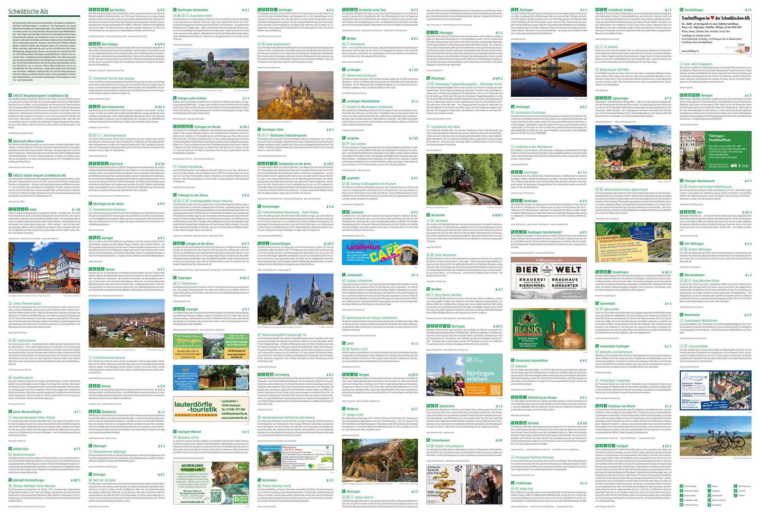
Tourist information on the reverse supplements the map section. It provides more background when choosing between different places to visit and planning your time in the region.
Waterproof and tear-resistant material makes the map suitable for travel. You can unfold it for planning and fold it back up for storage.
Practical Information: Scale 1:190,000, equivalent to 1.9 km per centimeter. Unfolded format approx. 89 × 60 cm. Publication year 2024. ISBN 9783707922554. Publisher Freytag & Berndt.
