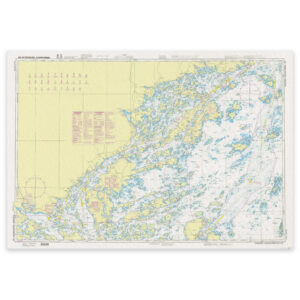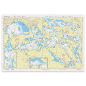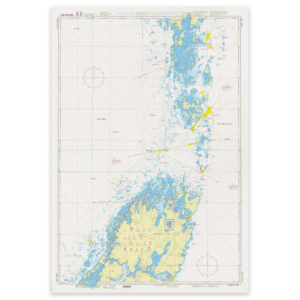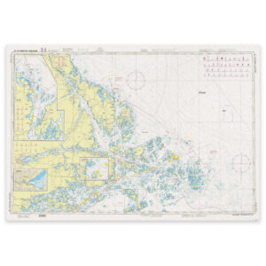
SE 611 Arnholma – Furusund

This map covers the area Arnholma – Furusund. It is an official archipelago chart published by the Swedish Mapping Authority (Sjöfartsverket). Archipelago charts are used for navigation in the archipelago and in coastal waters.

31,50 €

Ordered from supplier – available to order

SKU: SE 611 Category:
Swedish Maritime Administration

    Description

    Kart.no is an authorized dealer of official nautical charts from the Swedish Maritime Administration in Norway. Charts delivered from stock are always the latest updated edition. If a chart is not in stock, it is ordered directly from the Swedish Maritime Administration and sent from us as soon as we have received it.
Se også

  • In stockSE 619 Åland Sea

    SE 619 Åland Sea

    31,50 €
    Add to cart
  • Low stockSE 536 Eargr. shear. Øregr. - Simpnaesklubb

    SE 536 Eargr. shear. Øregr. – Simpnaesklubb

    31,50 €
    Add to cart
  • Made to orderSE 612 Furusund - Saxafjaerden

    SE 612 Furusund – Saxafjaerden

    31,50 €
    Add to cart
  • Low stockSE 613 Rødløga - Svenska Høgarna

    SE 613 Rødløga – Svenska Høgarna

    31,50 €
    Add to cart