
Description
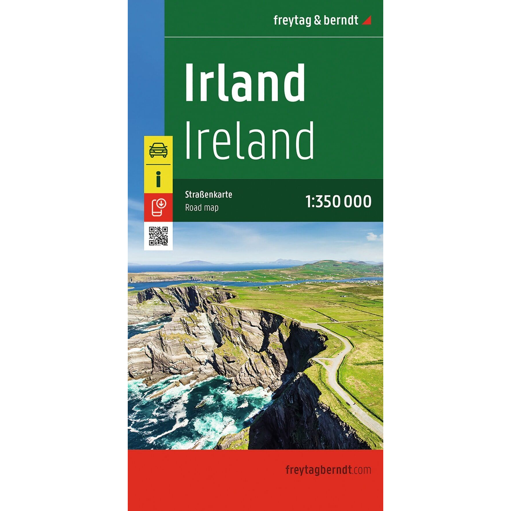
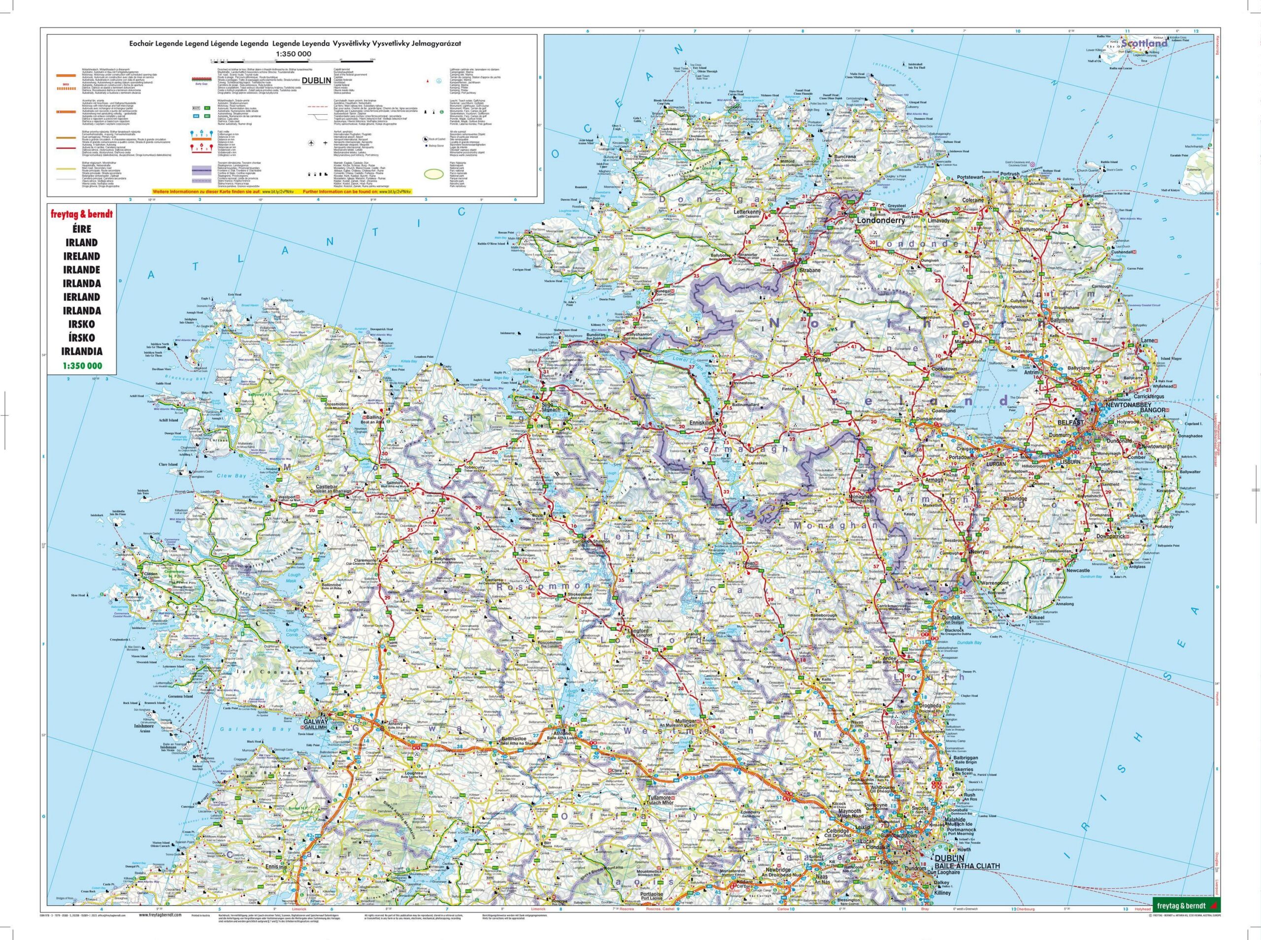
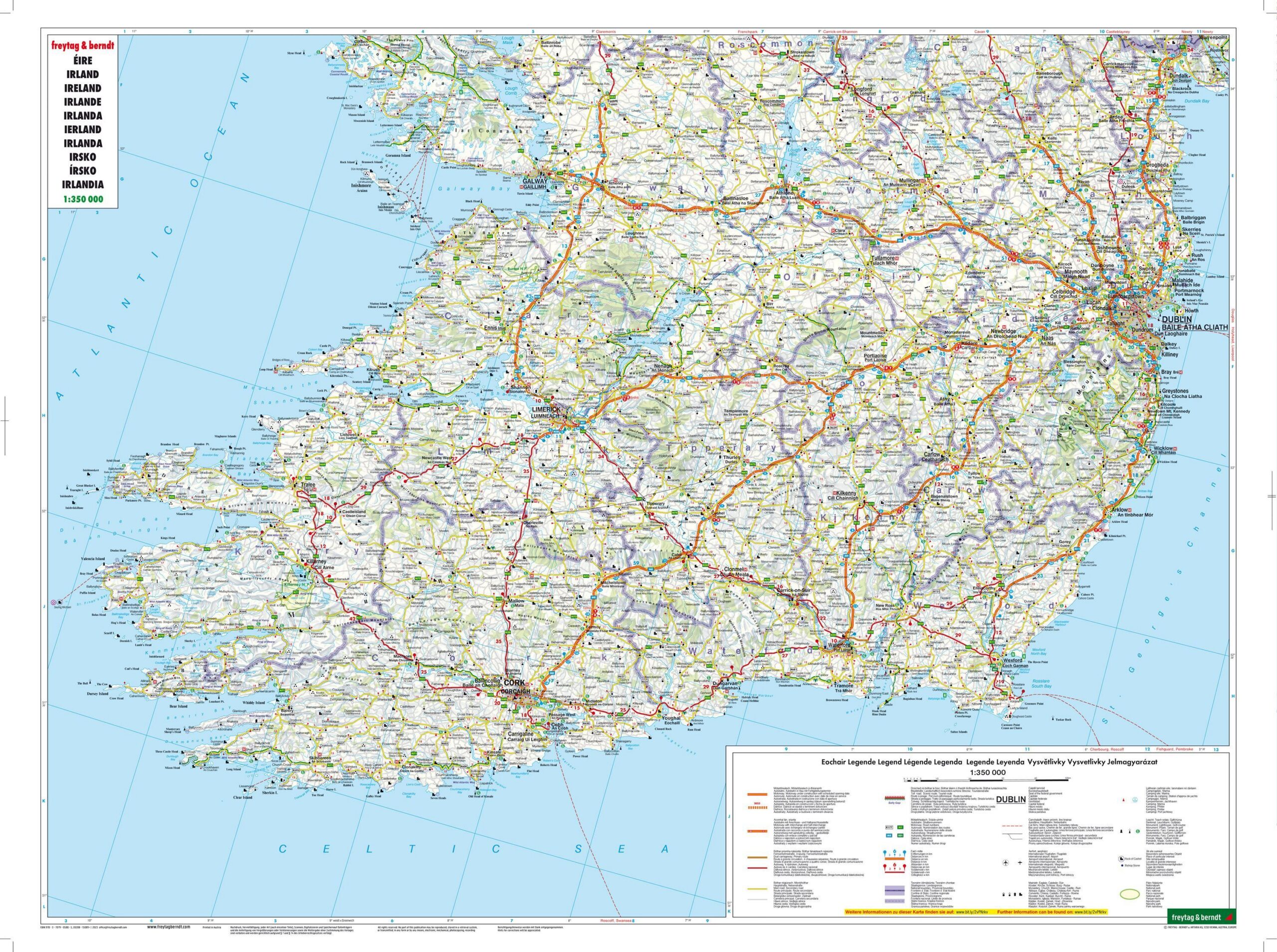
Ireland – Road Map (Multilingual) by Freytag & Berndt is a detailed road and leisure map covering all of Ireland, including Northern Ireland. The map is designed for travelers by car, motorcycle, and RV, and provides a clear overview of the road network combined with practical tourist information.
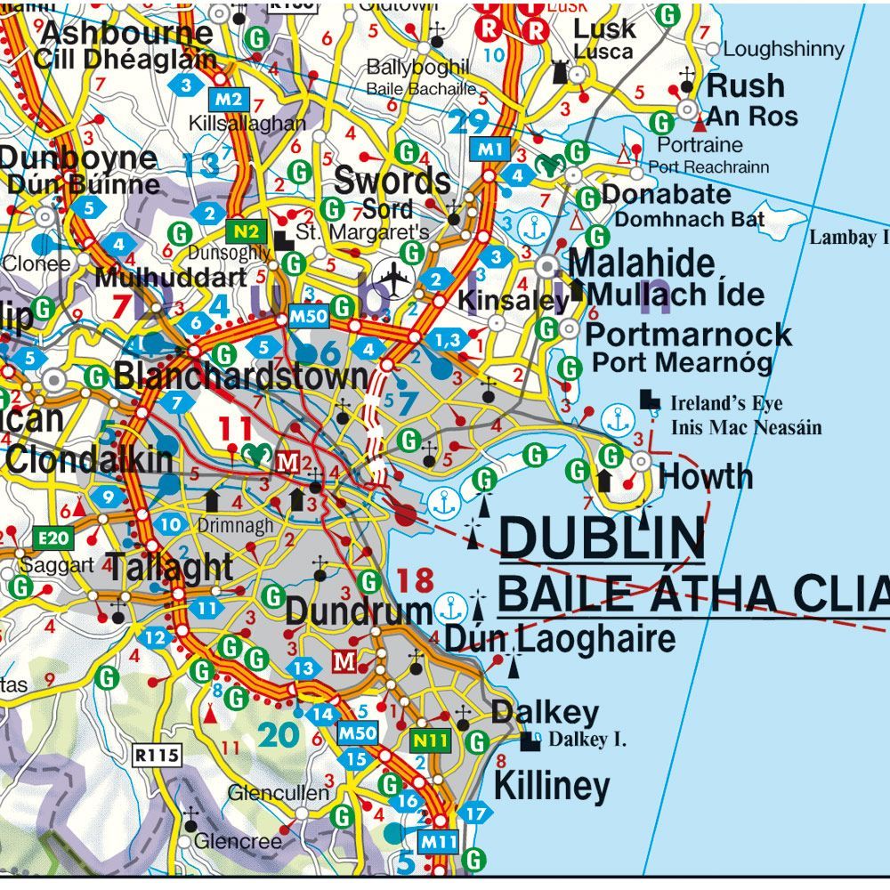
The map is printed at a scale of 1:350,000 and shows both major roads and smaller roads, making it easy to plan everything from longer round trips to short day trips. In addition, the map includes tourist information, campgrounds, and a comprehensive index of locations with ZIP codes, making it easy to find your way along the way.
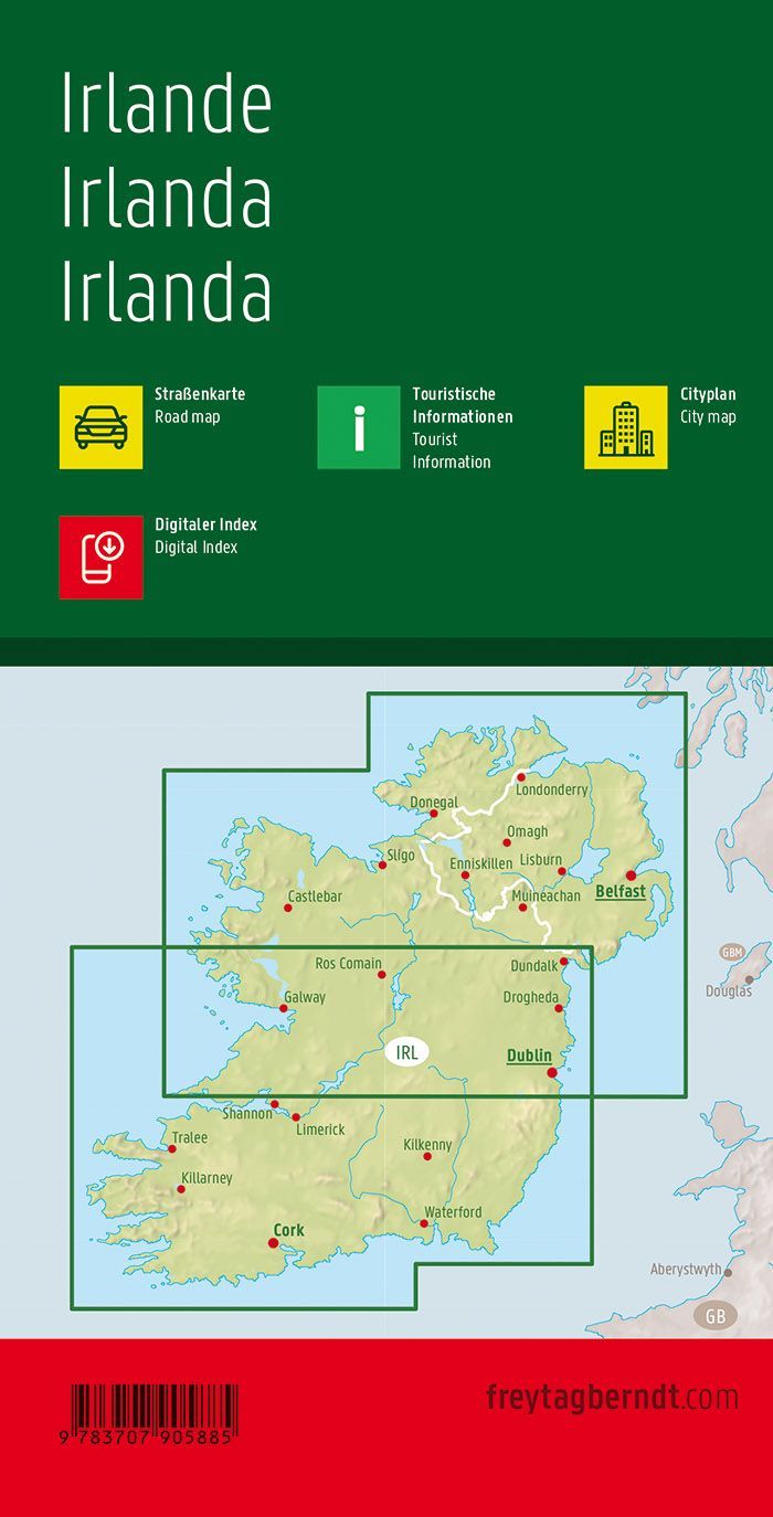
The double-sided map covers the entire island, including popular destinations such as Dublin, Cork, Galway, Limerick, Waterford, and Belfast, and is ideal for both exploring the Wild Atlantic Way and touring Ireland’s beautiful countryside, historic cities, and coastal areas.
Freytag & Berndt is known for its precise cartography and well-designed road maps, and this edition is a practical resource both for planning at home and while traveling.
Release year: 2026.