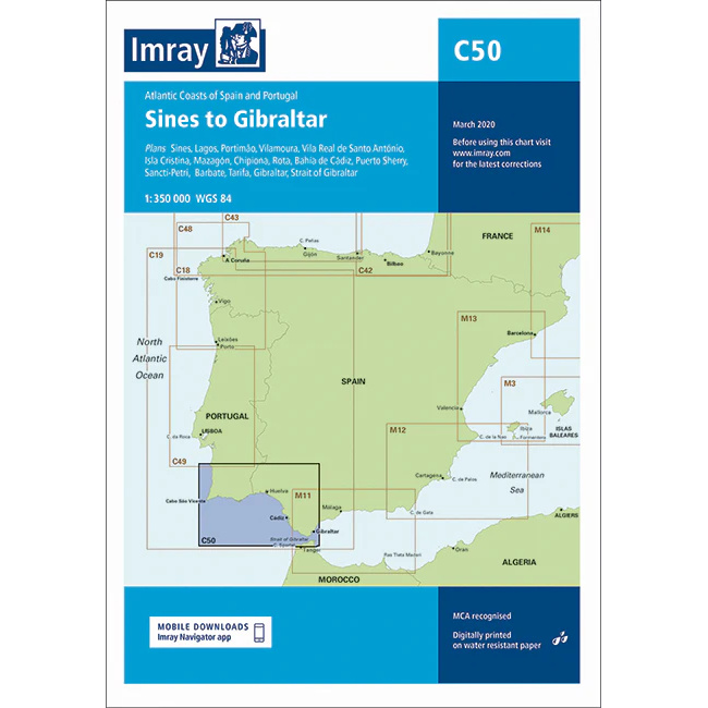
Description
This boating map covers the Atlantic coast of Portugal and Spain from Sines in Portugal to the Strait of Gibraltar. The area encompasses long stretches of open sea, weather-prone coastal sections and important approaches to ports along the southwestern and southern coasts of the Iberian Peninsula.
The chart is designed for route planning and overview navigation for leisure boats and sailboats sailing between the Atlantic and the Mediterranean. It provides a clear representation of coastlines, main waters and key approaches, and is suitable for both coastal sailing and longer passages, including the passage through the Strait of Gibraltar.
Imray is a renowned British chart manufacturer with extensive experience in nautical charts and publications for leisure boats. Designed for practical use on board, their charts combine clear cartography with reliable nautical information for sailors and powerboaters.