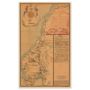


 Solør 1895


Solør 1895
In 1895, Ole Engh and F. Jacobsen created this map of Solør in Innlandet County. The map covers the area between Glomma and the Swedish border, and Elverum in the north to Flisa in the south. The map comes in its original size of 60.7 x 48.3 cm. The size with frame and passepartout is 78.7 x 67.3 cm. Would you like the map in a different size? Just get in touch – we’ll be happy to give you a quote for customization.