Description
The northern section of the South West Coast Path.
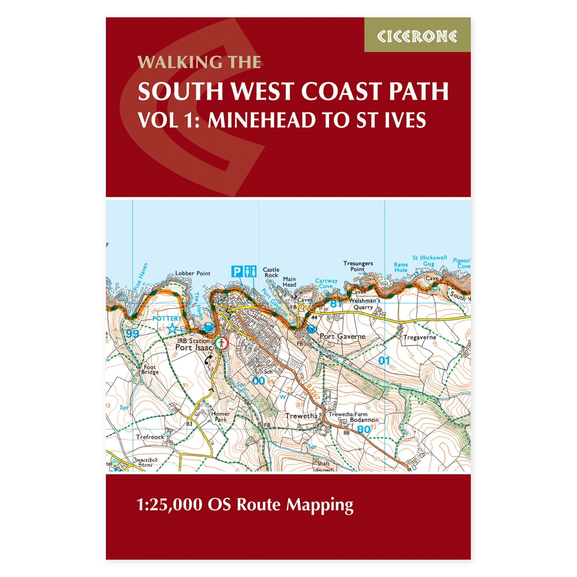
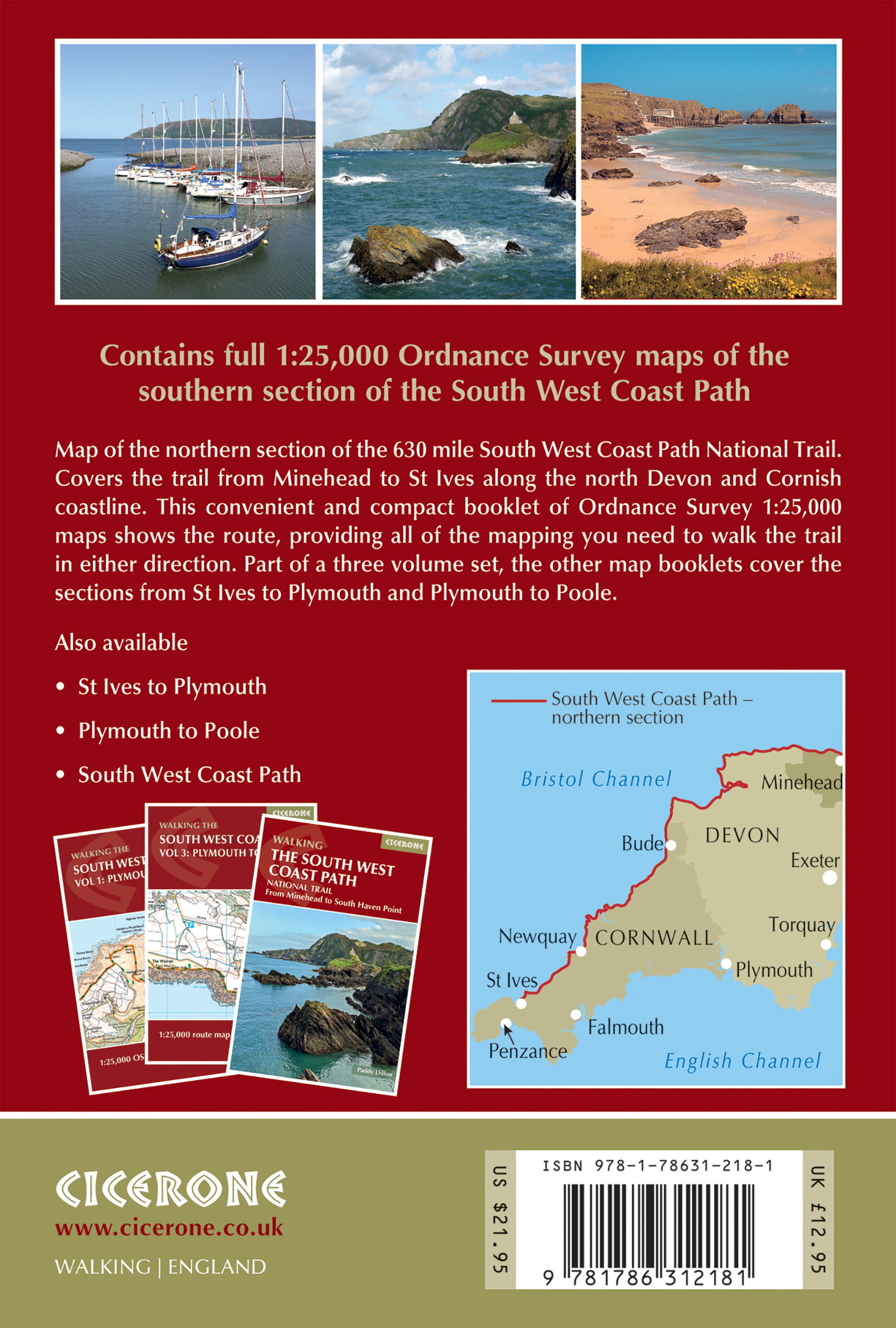
This map booklet covers the route from Minehead to St Ives along the coasts of Somerset, Devon, and Cornwall. The path traverses varied landscapes, including cliffs, small harbours, and open coastal stretches. The booklet provides continuous map coverage for this segment of the extensive South West Coast Path, not the entire coastal trail.
OS maps in a format designed for trail use.
Ordnance Survey Explorer maps at a scale of 1:25,000 illustrate the marked route and surrounding terrain. These maps are suitable for following the path in either direction. An excerpt of the map legend is included, and the compact booklet format simplifies finding the correct section during your journey, compared to managing multiple separate map sheets.
One of three map booklets for the coastal path.
This is Volume One in Cicerone’s three-part map booklet series for the South West Coast Path. The product primarily serves as a navigation aid. For step-by-step route descriptions and more comprehensive advice on undertaking the walk, a separate guidebook is available. Please verify the specific sections covered when selecting booklets to ensure you acquire the maps appropriate for your planned trip.
Plan according to elevation and coastal conditions.
The coastal path features continuous ascents and descents, meaning a short distance can result in a demanding day of walking. The maps assist in visualizing the terrain between towns and accommodation points. Utilize them in conjunction with updated information on weather, local diversions, and transport when determining stage lengths, particularly for more exposed cliff sections and open headlands.
A long tradition of hiking guides.
Cicerone has published guidebooks since 1969. The publisher emerged among climbers and mountaineers who wanted to share thorough knowledge of their routes – a tradition that still characterizes these compact books for walking, trekking, and other outdoor experiences.
About this edition.
Author: Paddy Dillon. English language. 112 pages. Second edition, published in 2024. ISBN 9781786312181.