
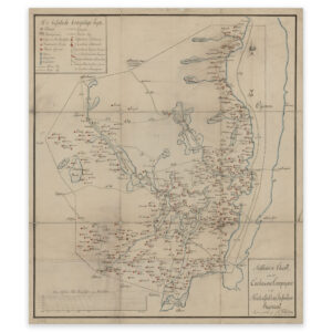
 Southern Norway 1883
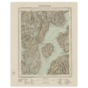
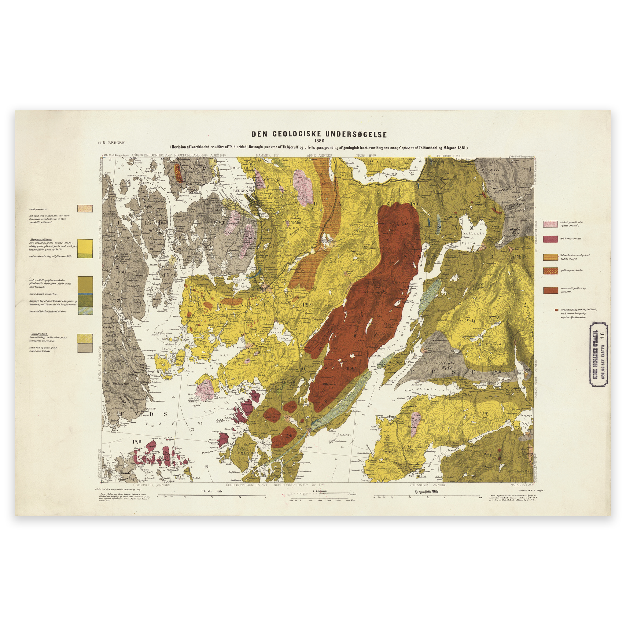
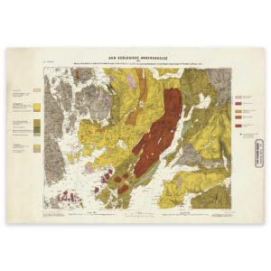
Southern Norway 1883
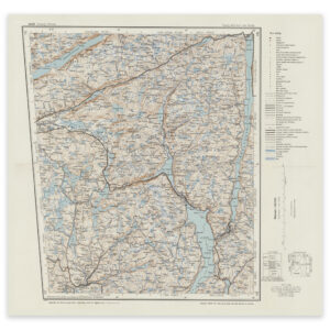
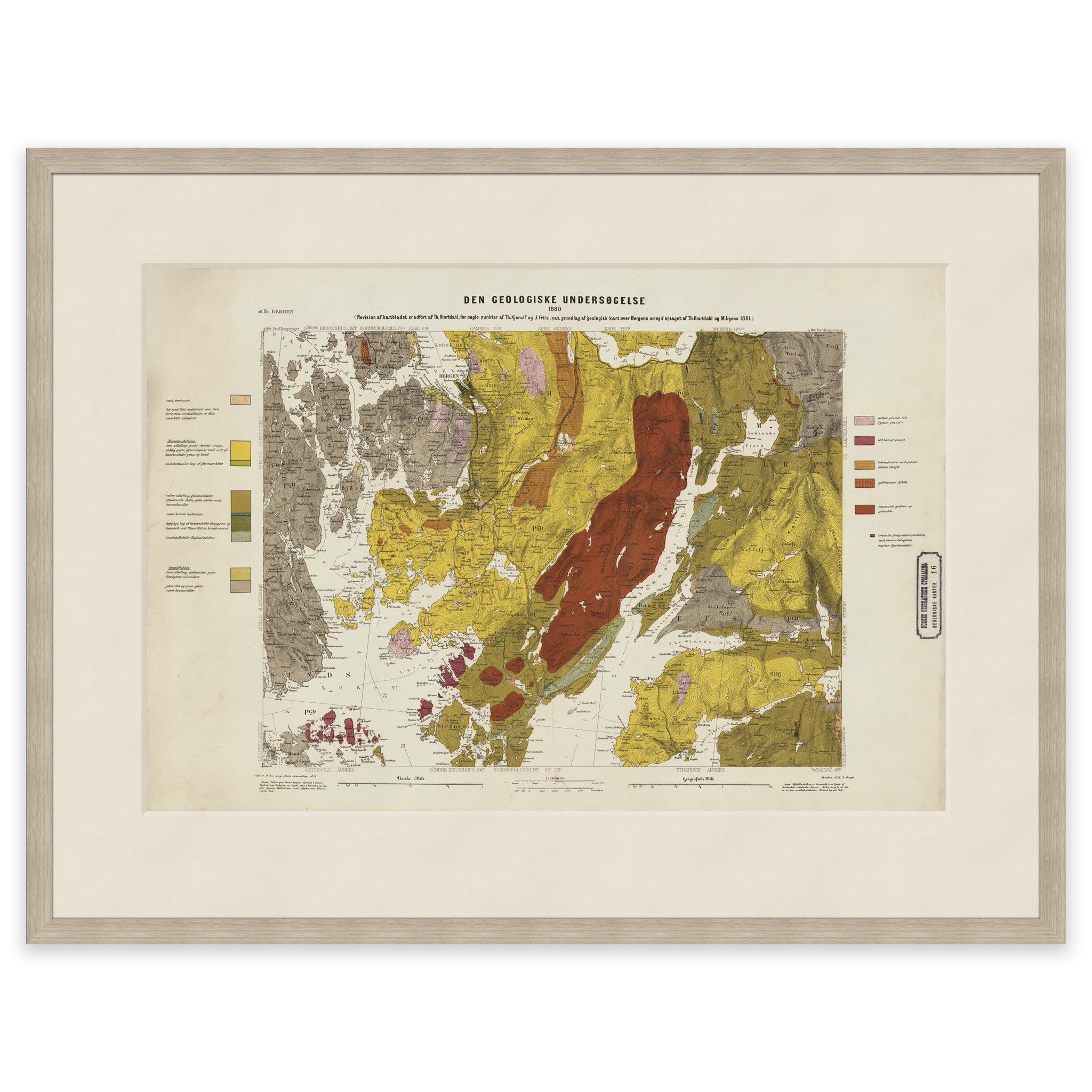
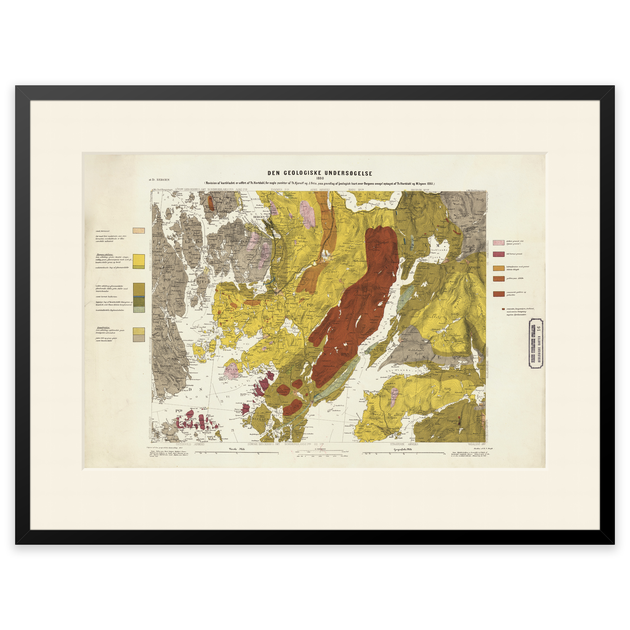
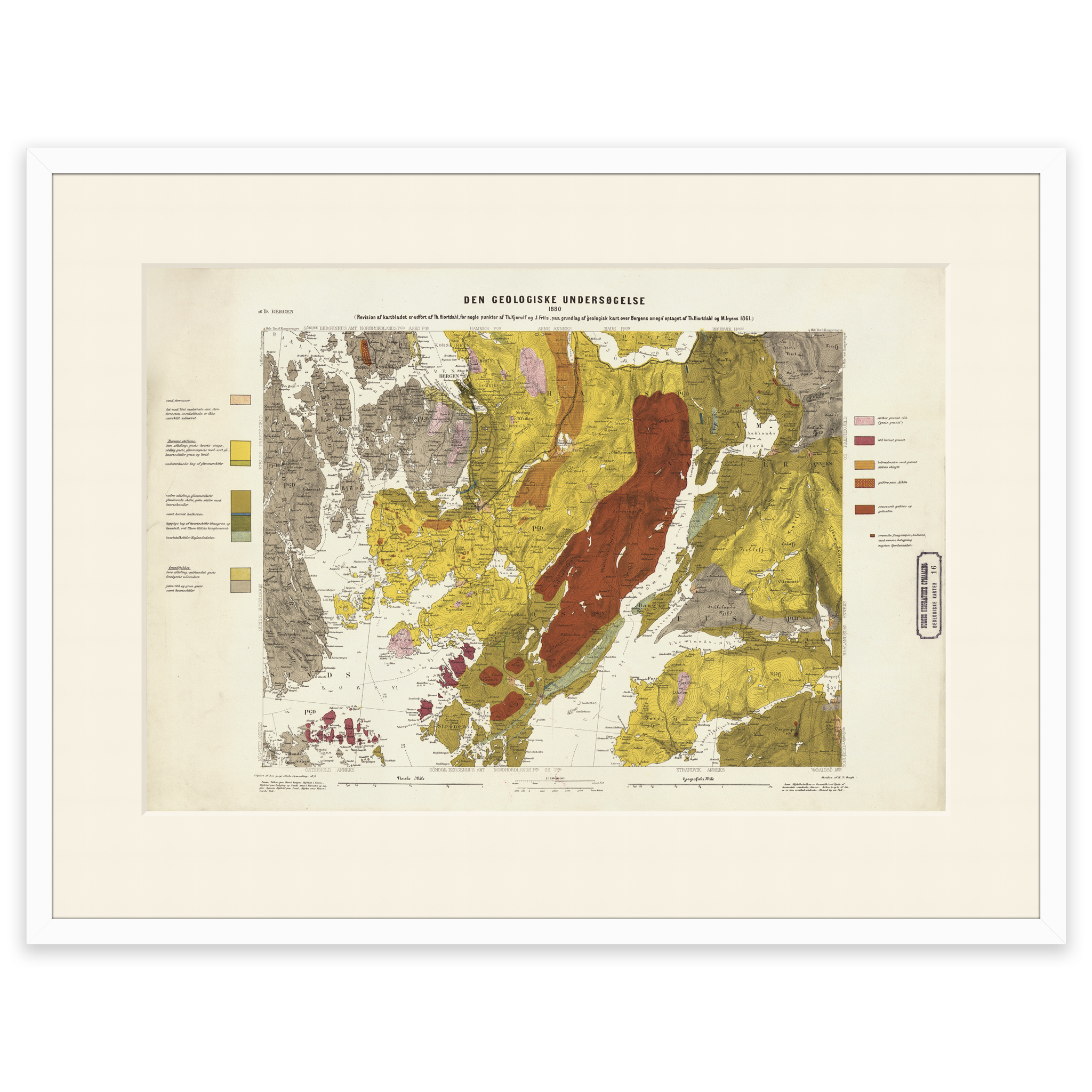
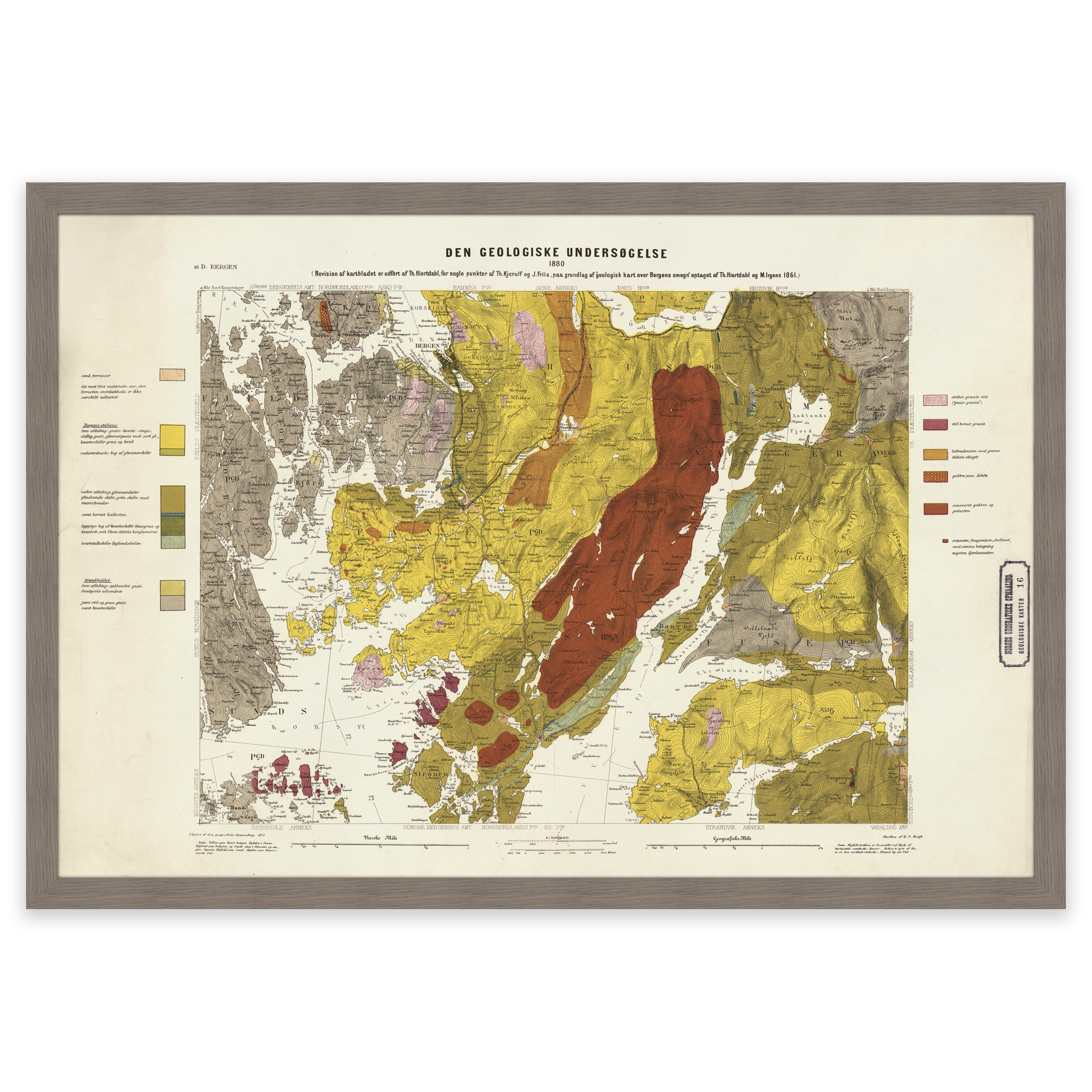
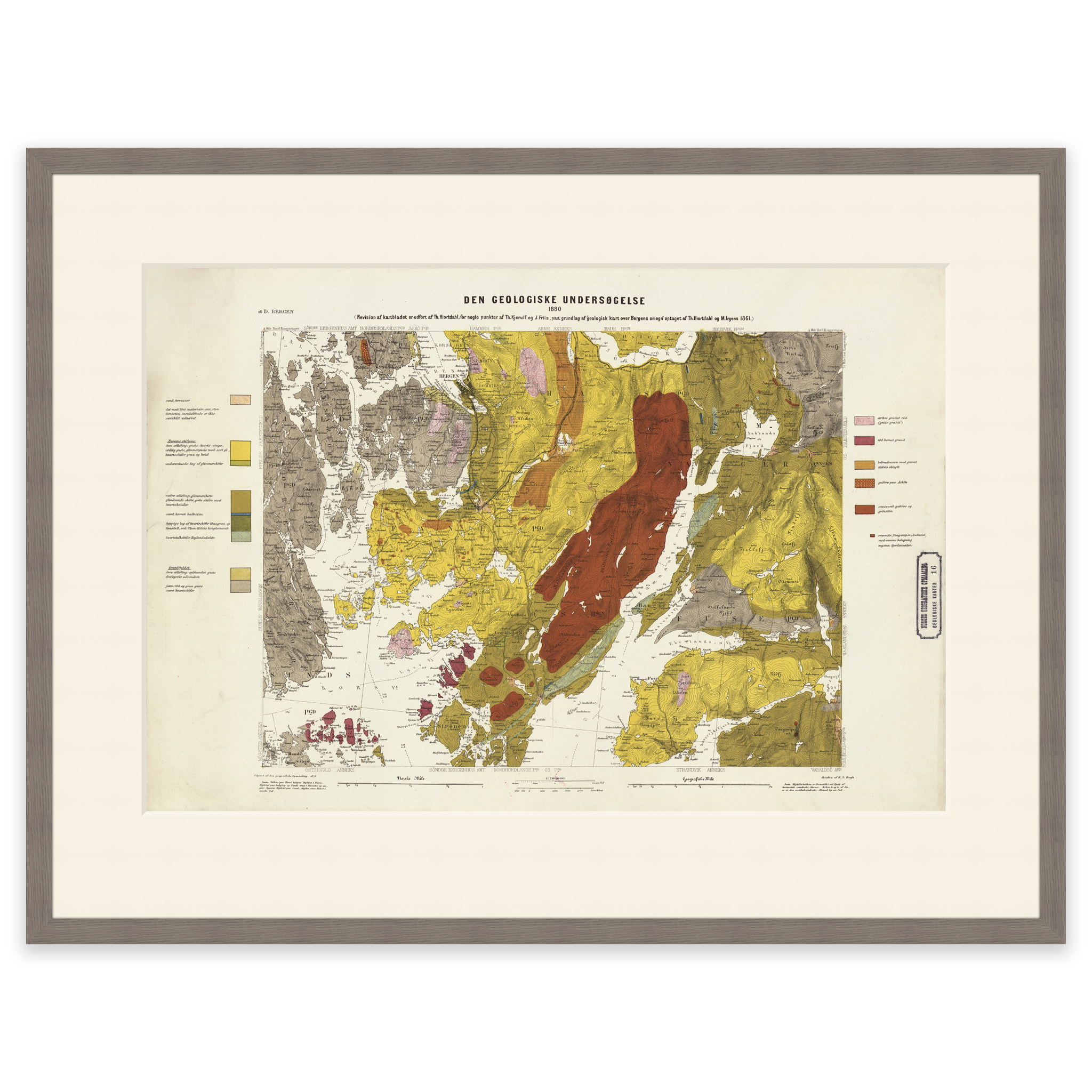
Map of an area in Buskerud, Vestland, Innlandet and Hordaland. The map is made by L. The original size of the map is 62.3 x 42.4 cm. The size with frame and passe-partout is 80.3 x 61.4 cm. Do you want the map in a different size? Just get in touch – we’ll be happy to give you a quote for customization.