

 Spruce 1879
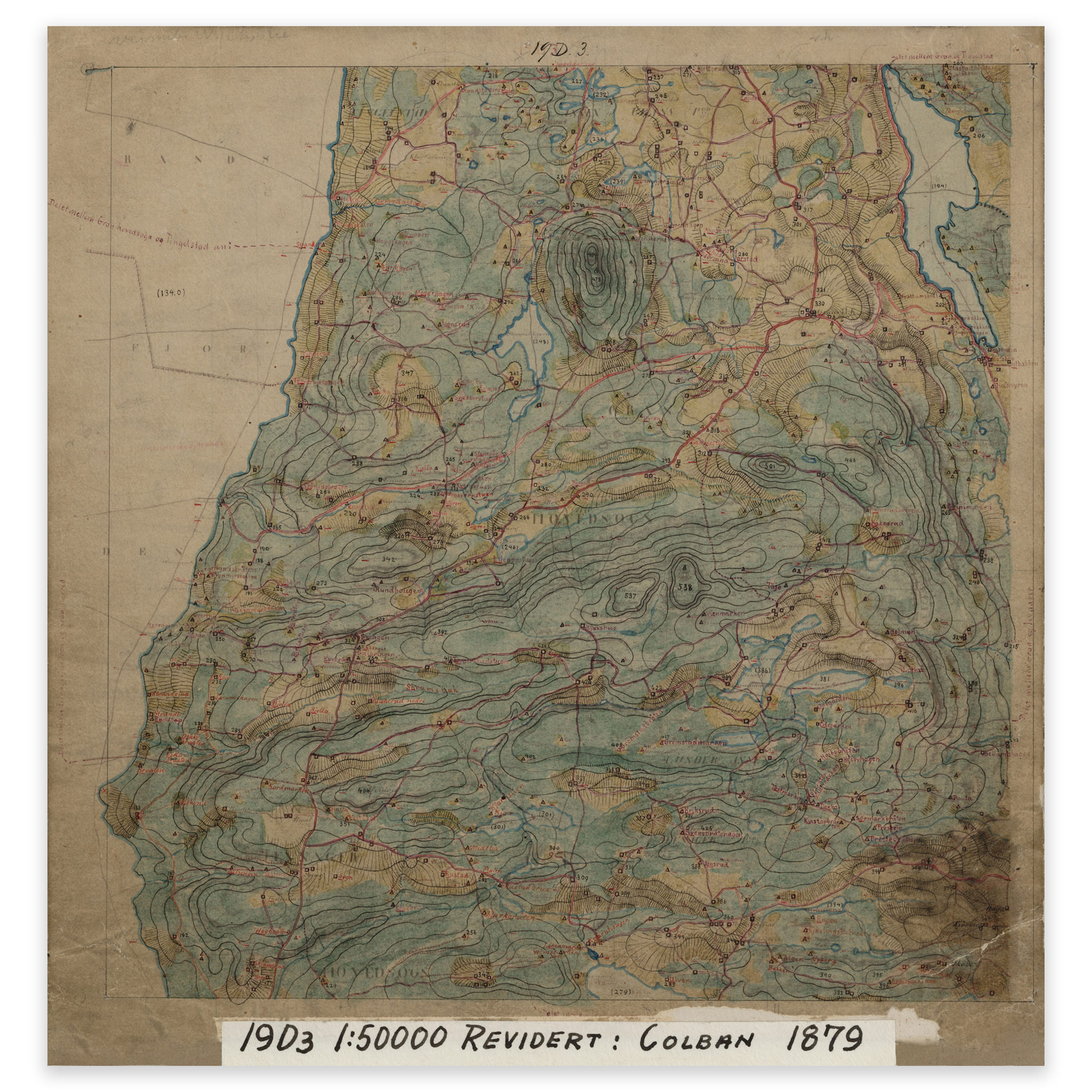


Spruce 1879
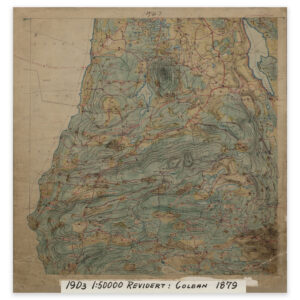
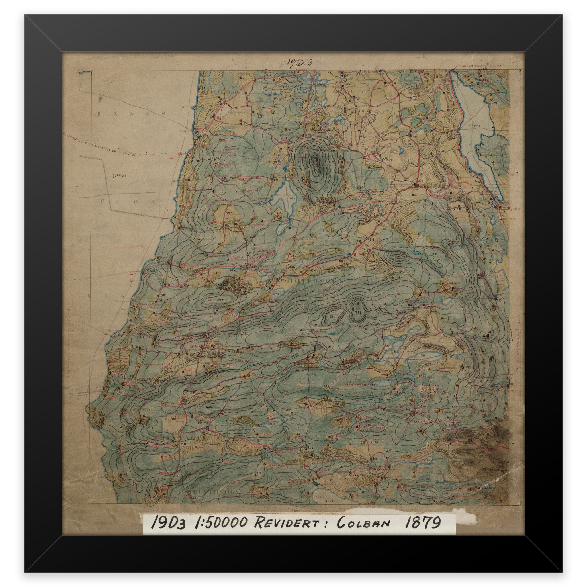
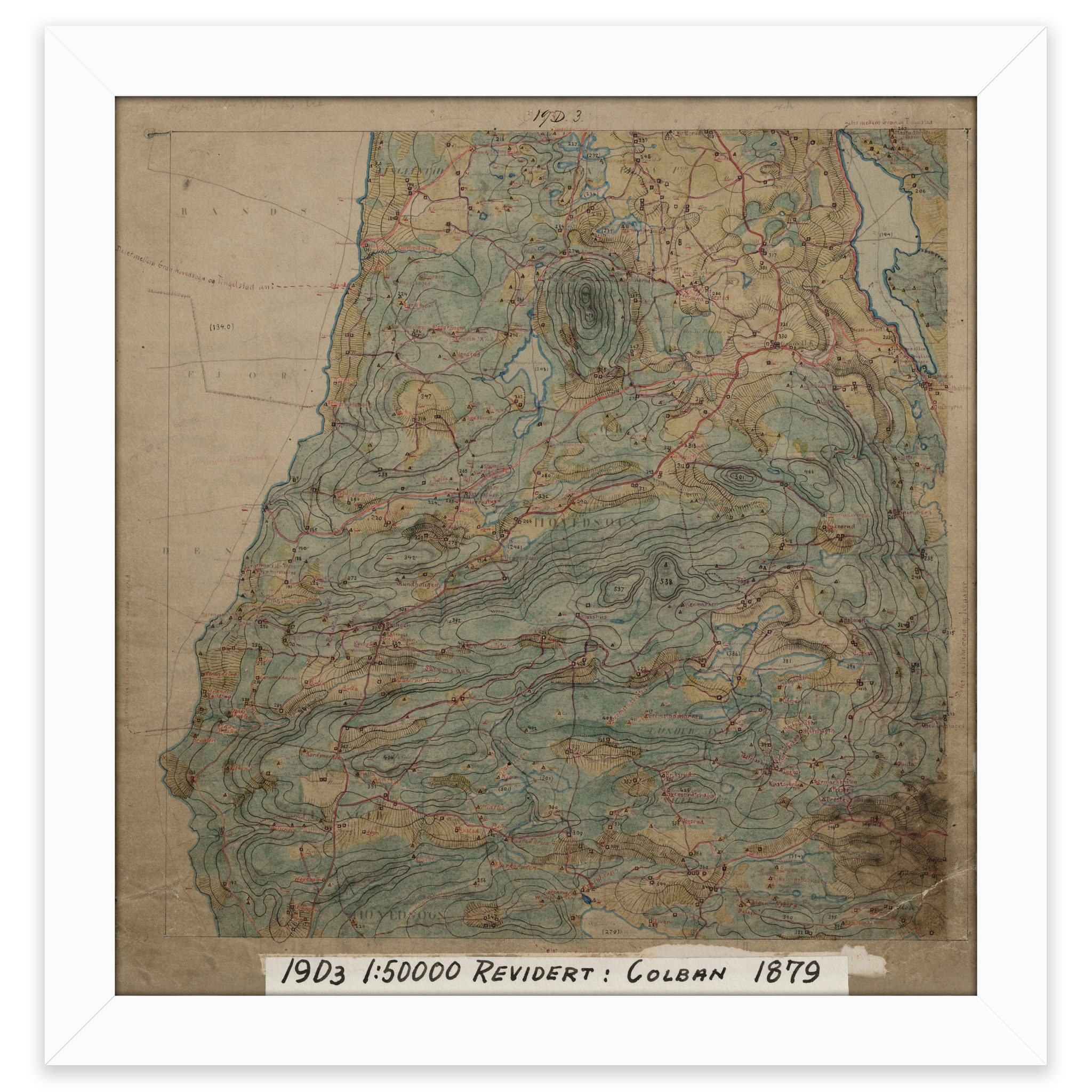
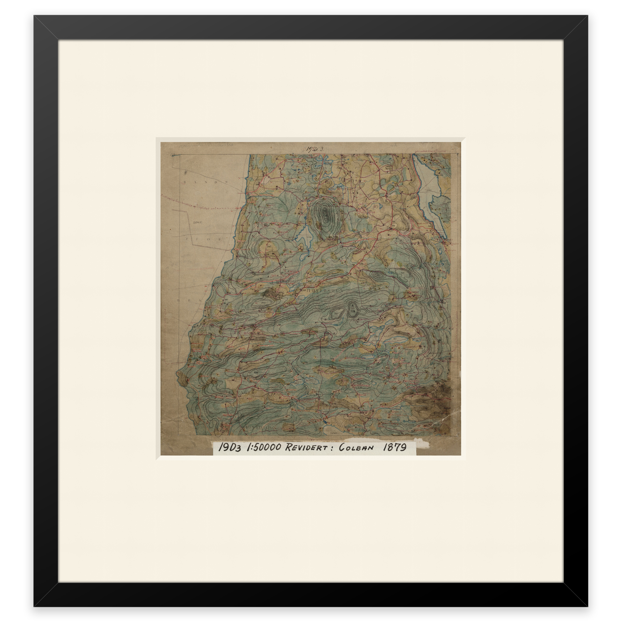
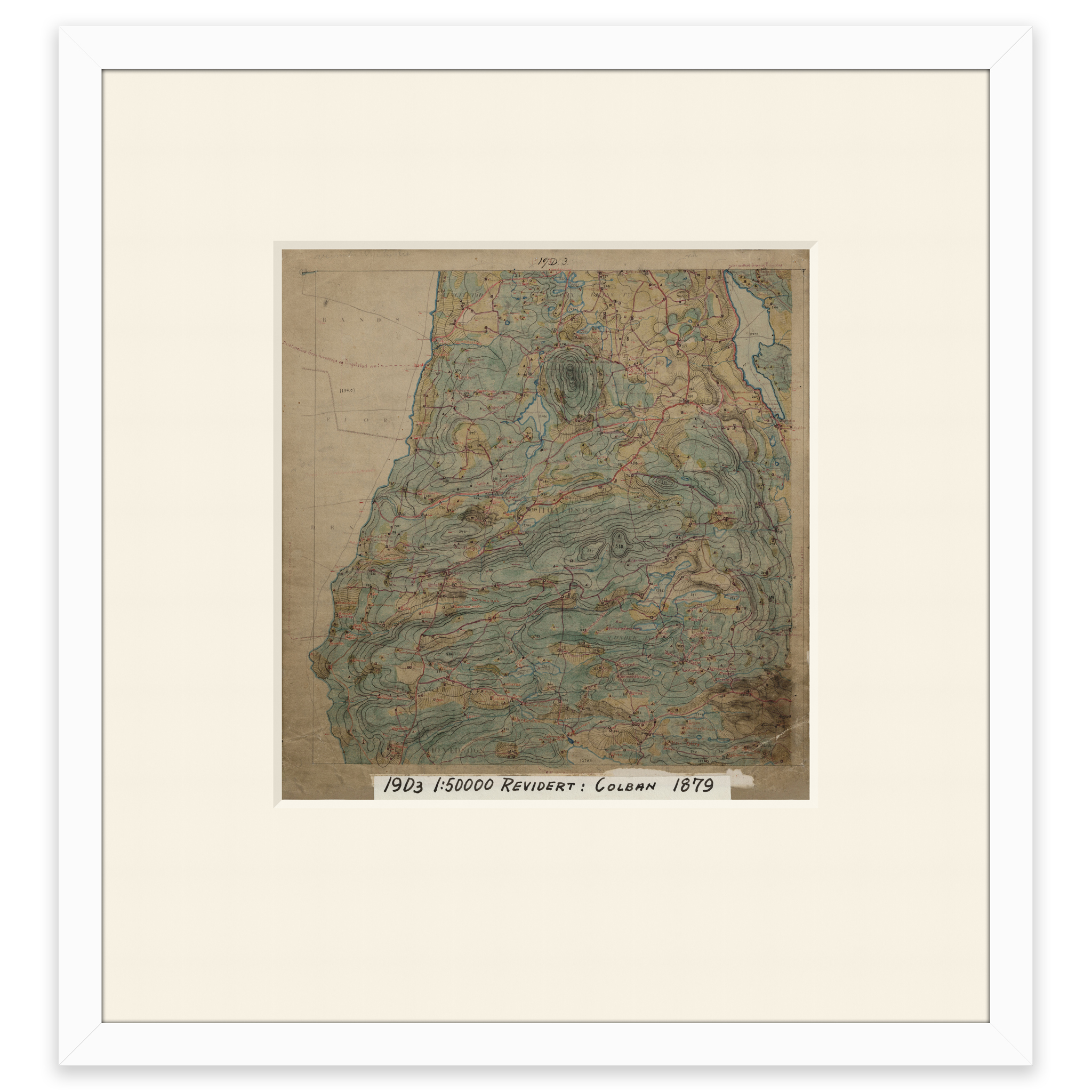
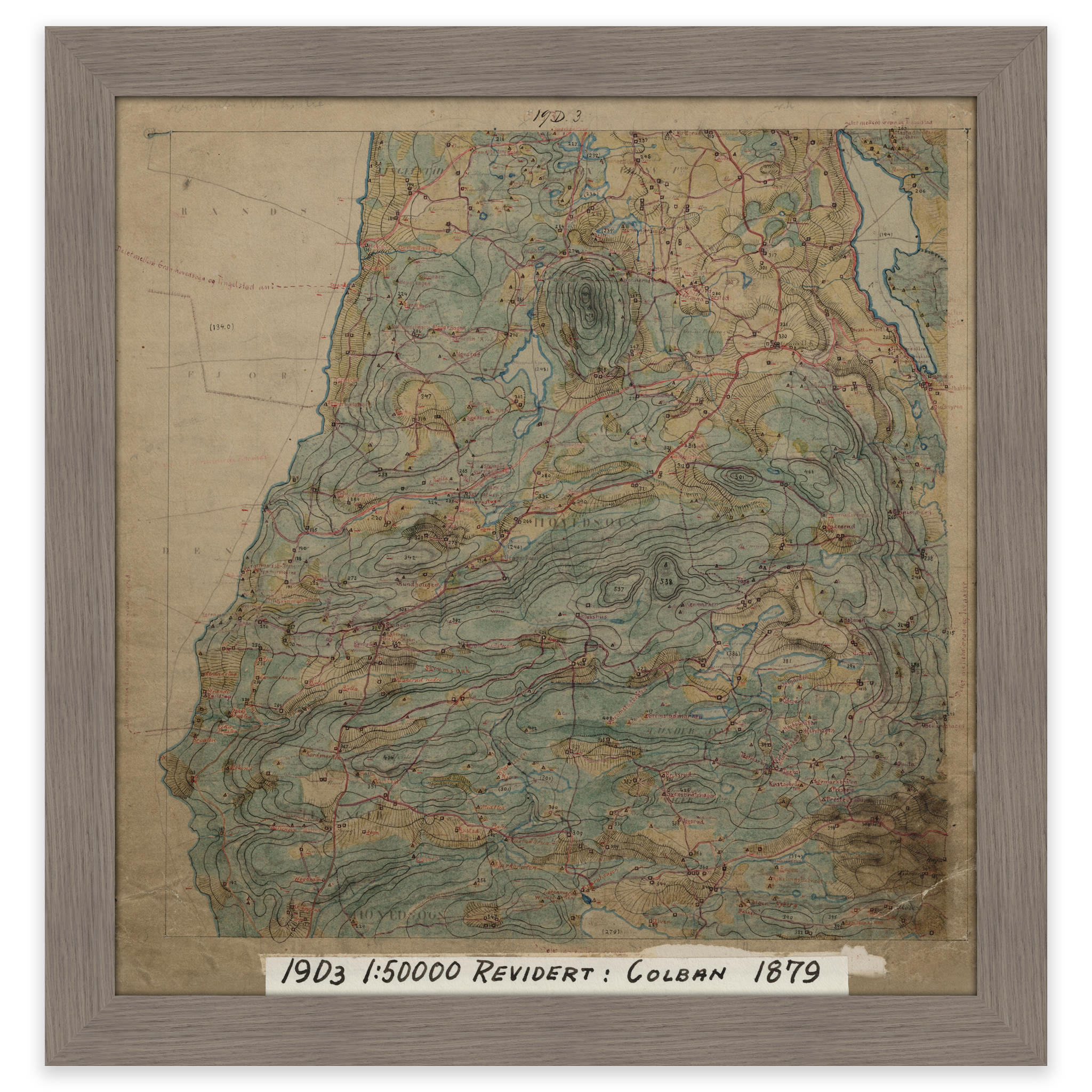
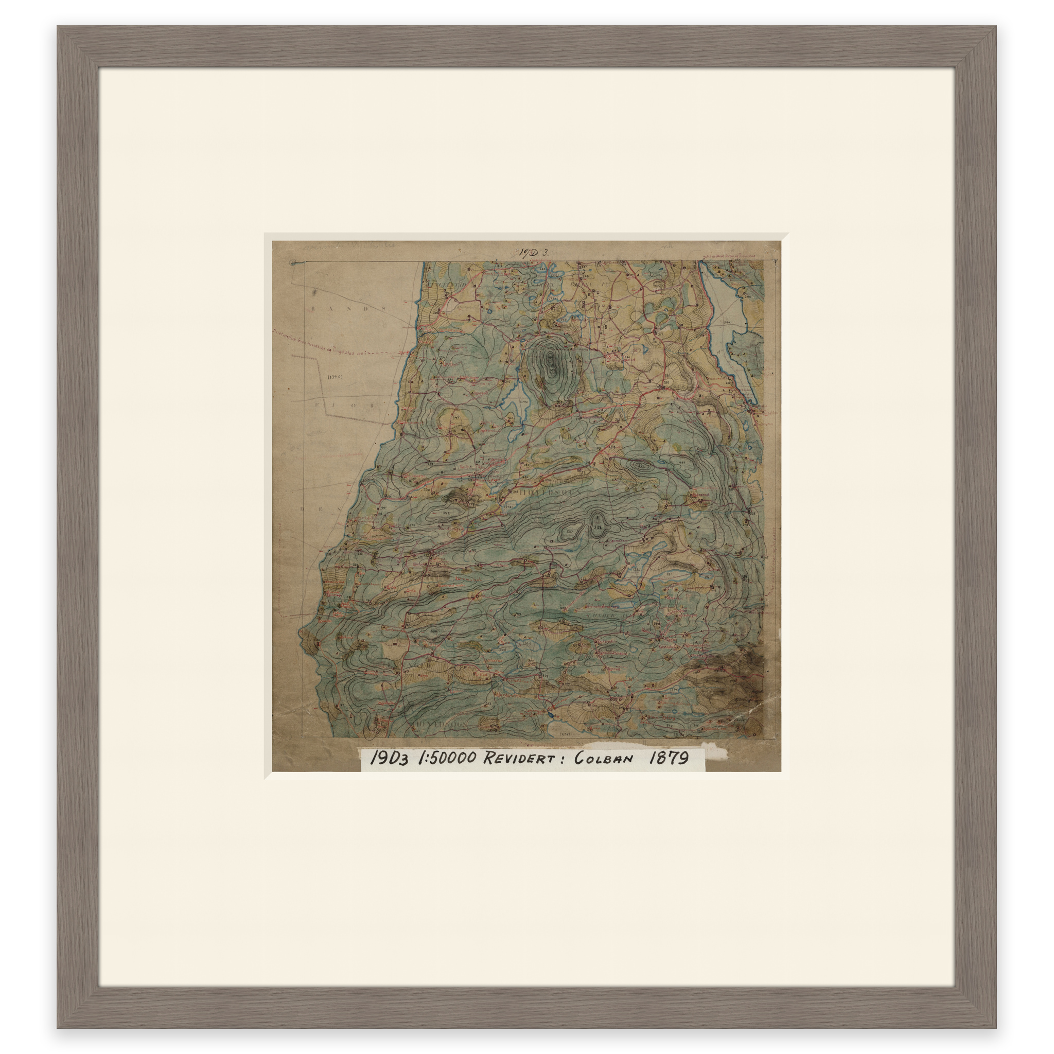
Map of an area with Randsfjorden in the west, Jaren, Gran and Lunner in the east. The map is hand-drawn by C. The original size of the map is 24.6 x 25.6 cm. The size with frame and passe-partout is 44.6 x 47.6 cm. Would you like the map in a different size? Just get in touch – we’ll be happy to give you a quote for customization.