Description
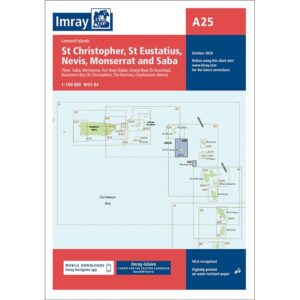
This boating chart from Imray covers the islands of St Christopher (St Kitts), St Eustatius, Nevis, Montserrat and Saba in the Leeward Islands. The chart provides a comprehensive overview of the sailing areas around these islands and is designed for both coastal navigation and overall route planning in the Eastern Caribbean.
The map contains an overview of coastlines, depths and key sailing areas, as well as selected plans of harbors, approaches and anchorages. It is well suited for leisure boats and sailboats traveling between the islands, and serves as a useful supplement to more detailed local maps.
Imray is a renowned British manufacturer of nautical charts, with extensive experience in developing user-friendly boating charts for practical sailing and cruising in international waters.