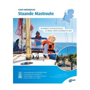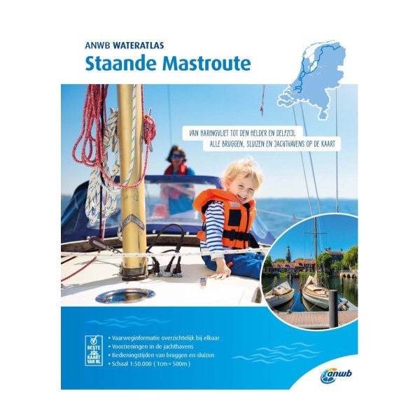
Description
The Staande Mastroute is a detailed water atlas published by the ANWB and designed for sailors who want to travel through the Netherlands without having to put down the mast. The route runs from Harlingen in the north to Den Helder in the west, via a continuous network of inland waterways.
The atlas provides an overview of all bridges, locks and navigable canals along the route, with information on clearance, operation of bridges and locks and relevant nautical facilities. The charts are adapted for practical use on board and provide a good basis for planning and safe navigation in Dutch waters.
Staande Mastroute is a useful supplement to ordinary nautical charts and electronic navigation systems, especially for sailors who want an efficient and predictable passage through the Netherlands via inland waters.