

 Stavanger 1950
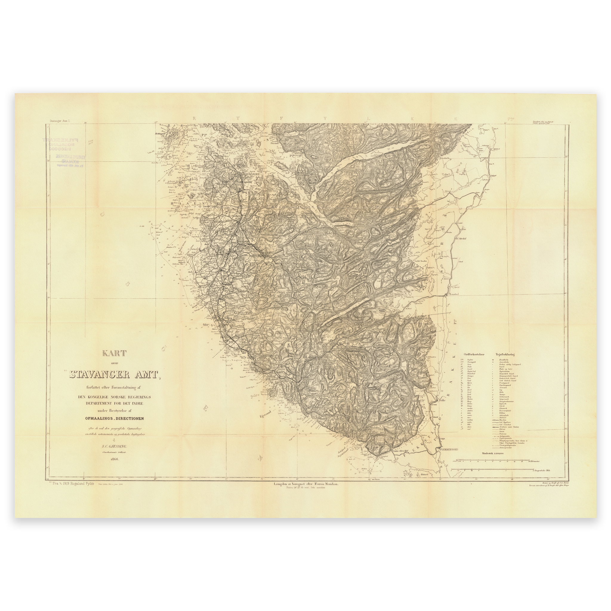

Stavanger 1950
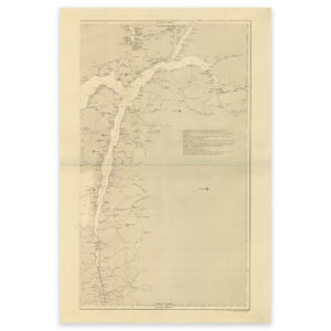
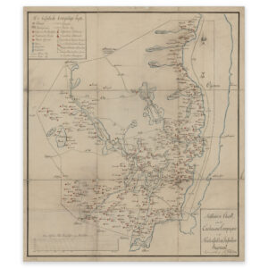
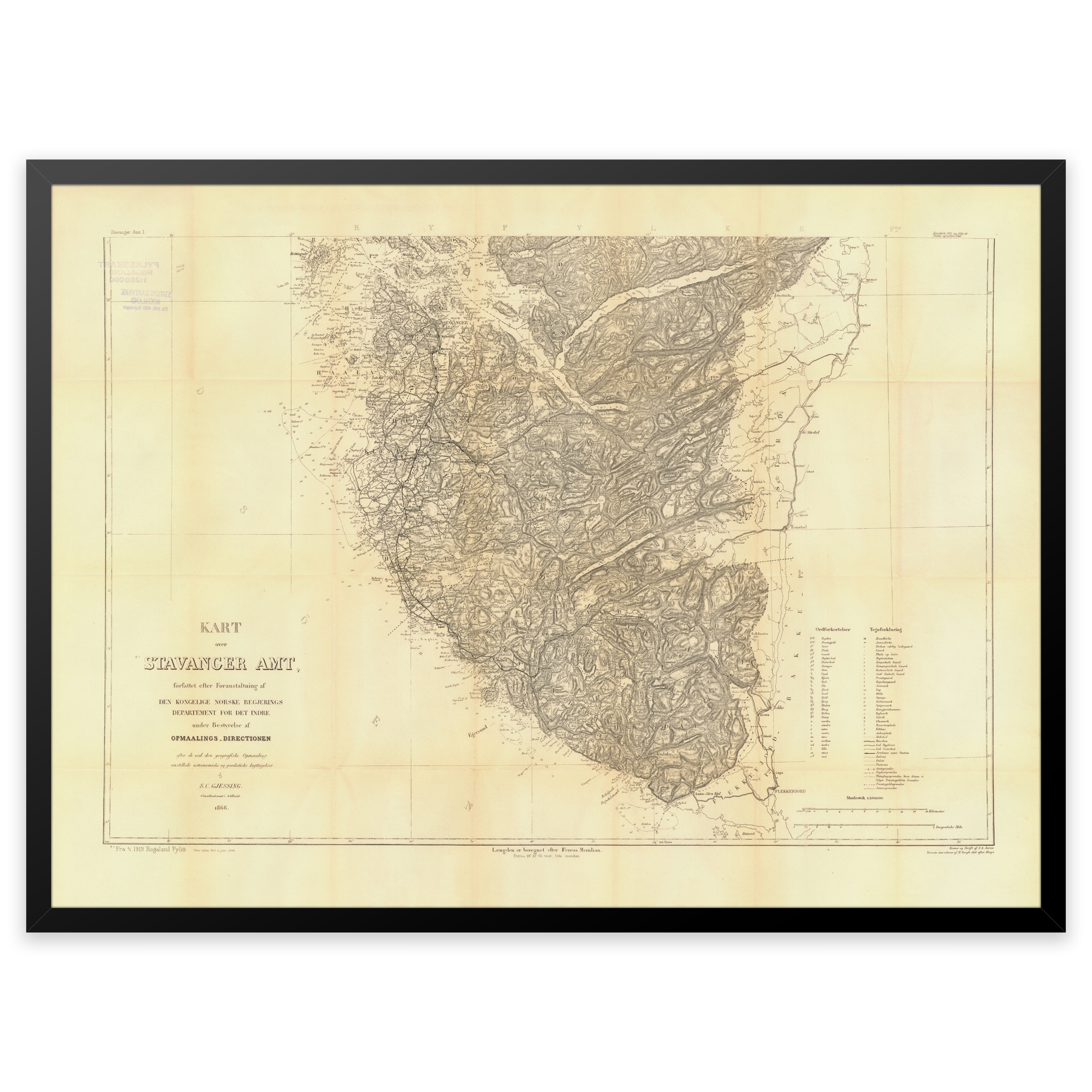
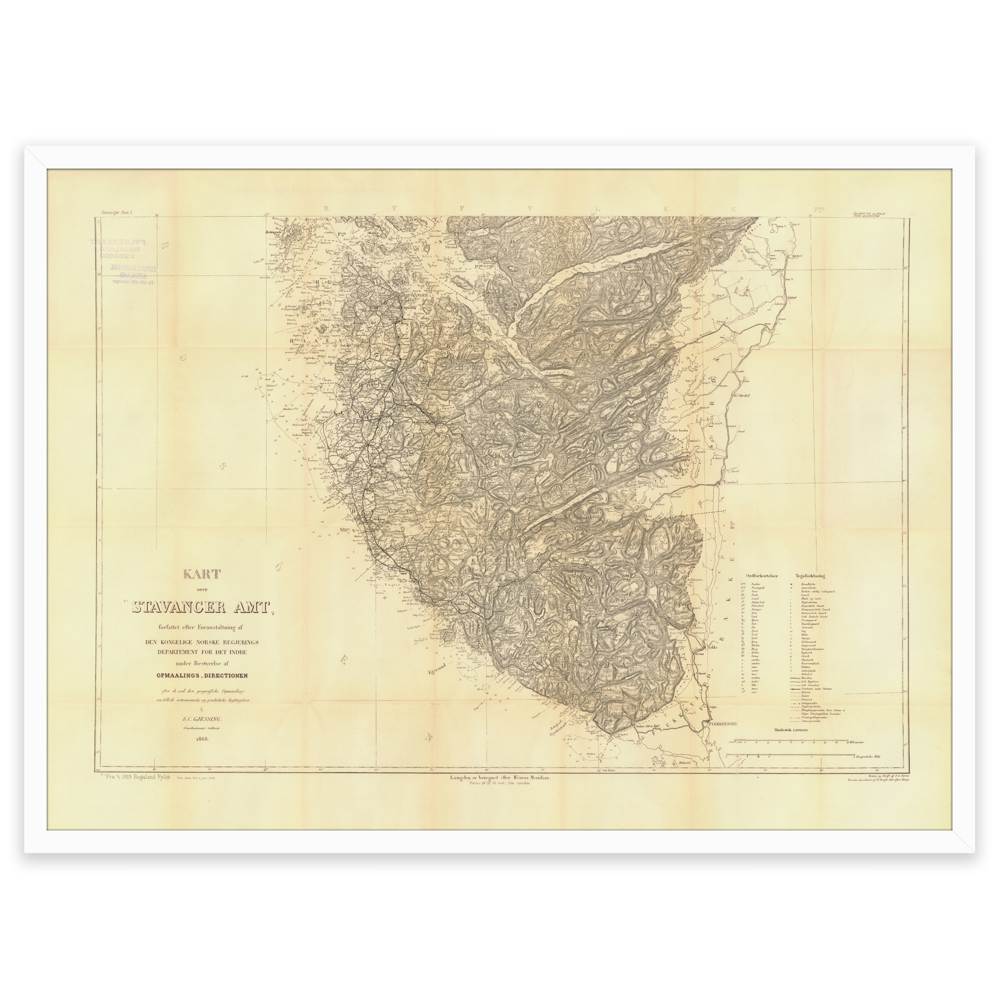
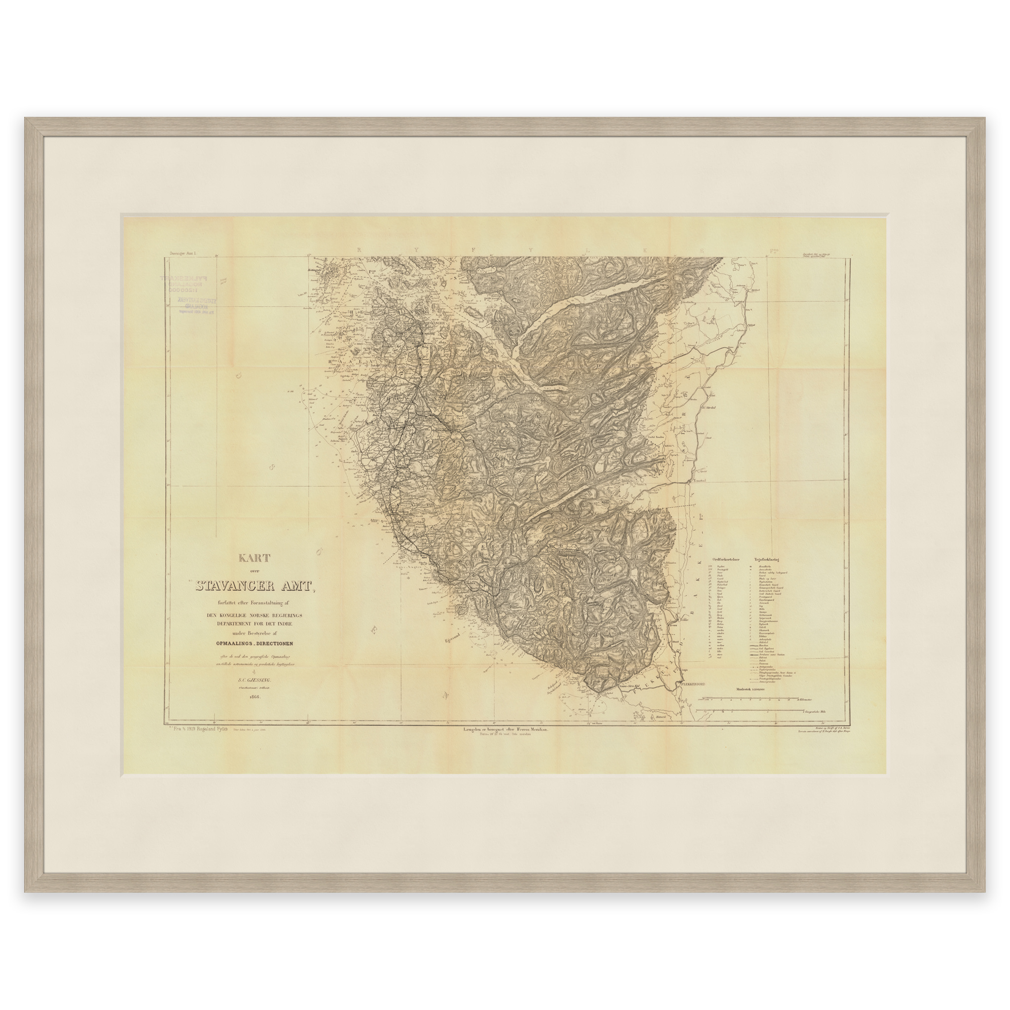
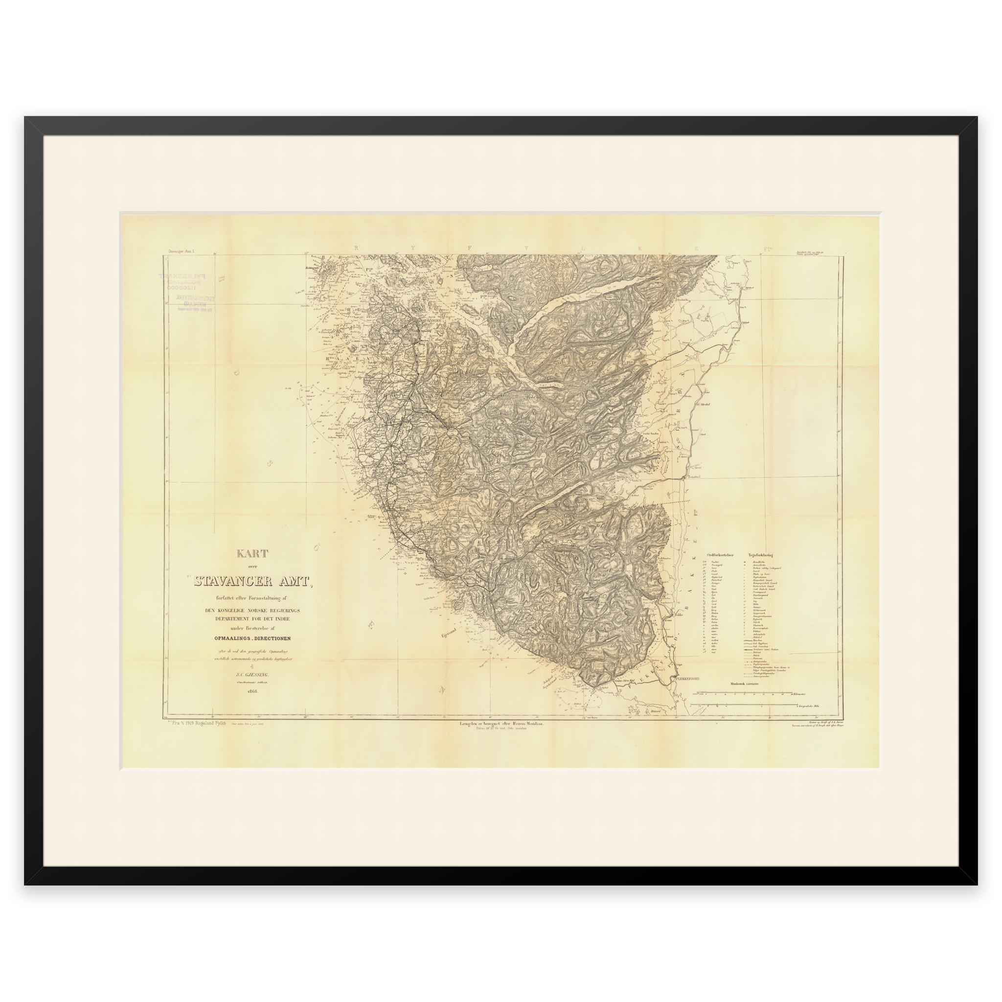
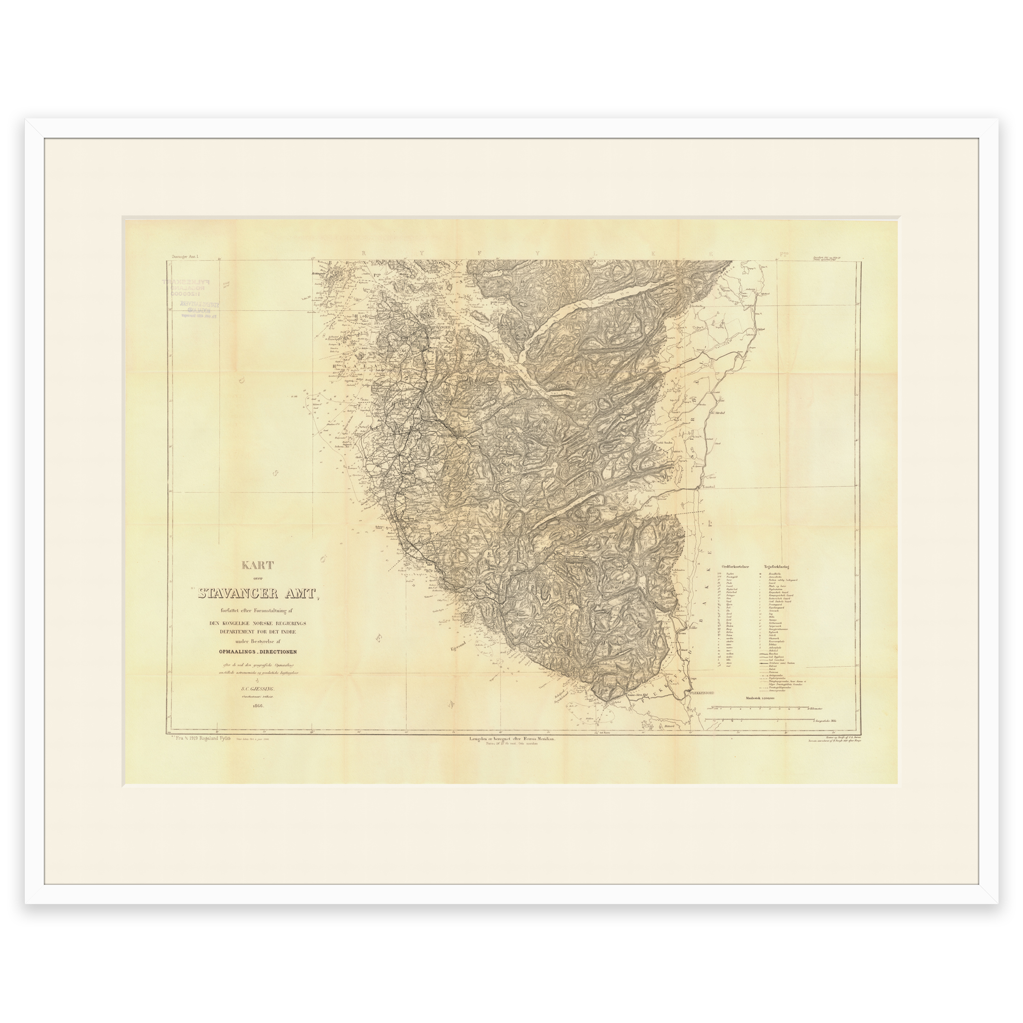
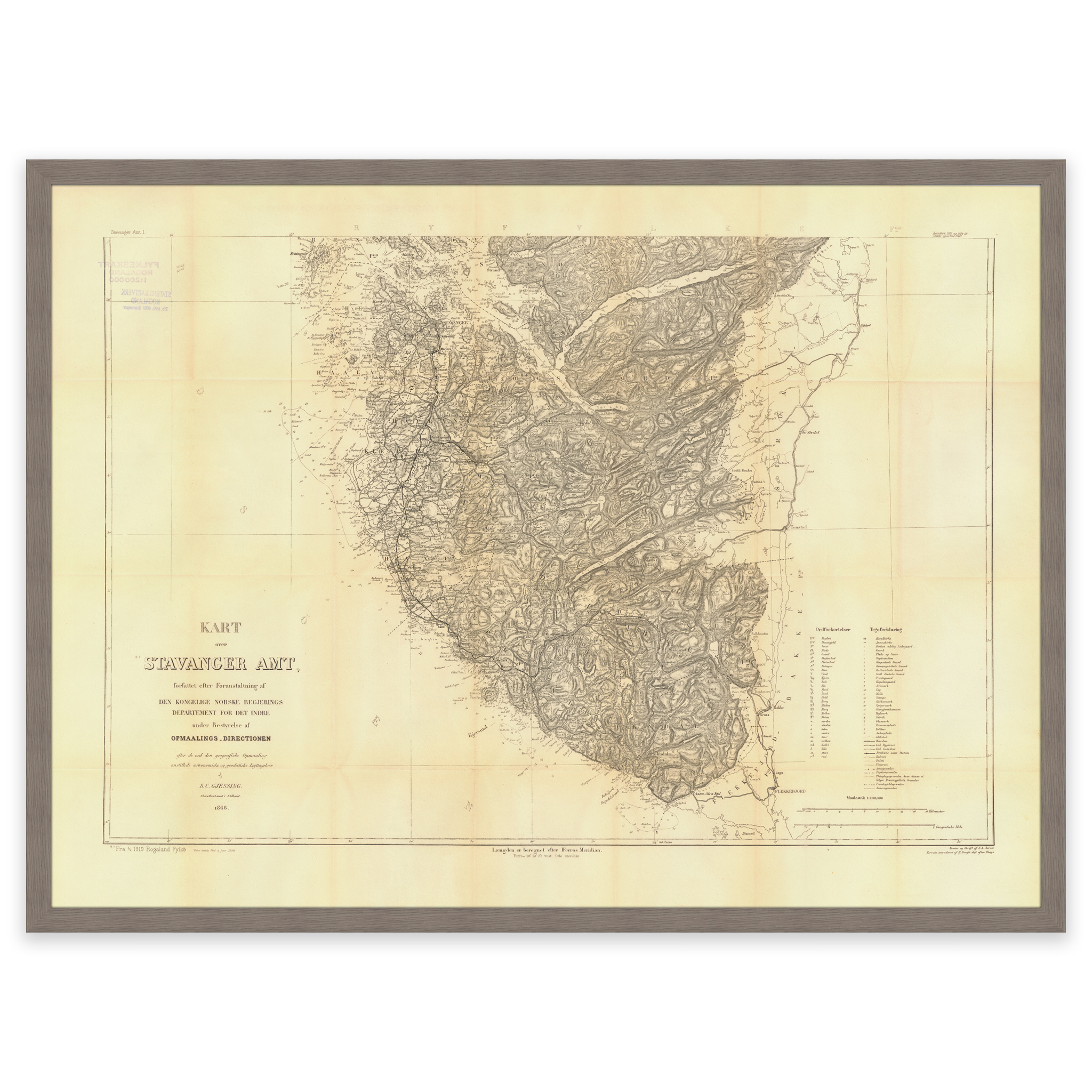
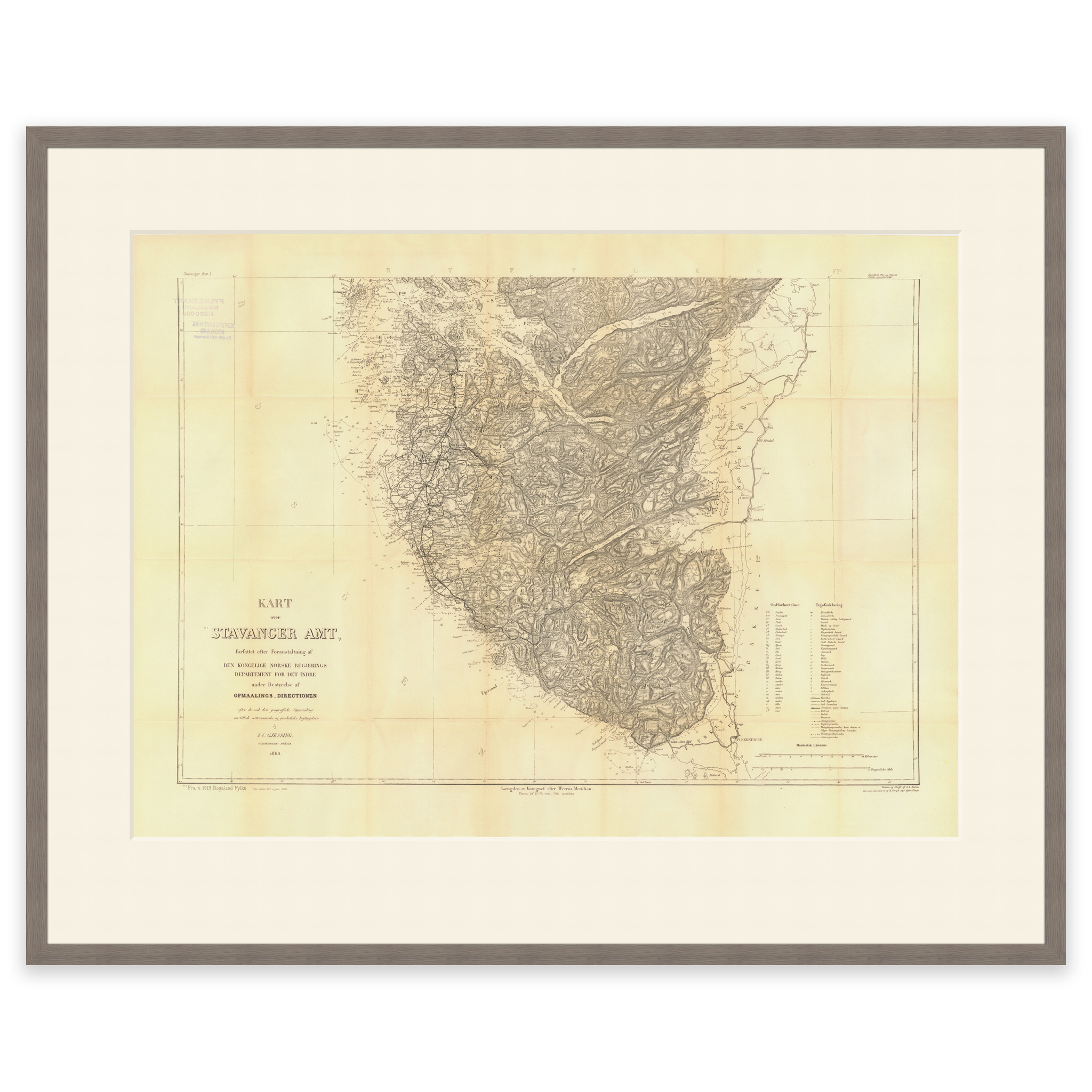
Engraving of southern Stavanger County from 1950. From Åmøyfjorden in the north to Sokndal in the south, Lysefjorden and Dalane in the east. The map is made by Søren Christian Gjessing Aarnes, M. T. Kingo and H. The map is delivered in original size 80 x 56.9 cm. The size with frame and passepartout is 100 x 78.9 cm. Do you want the map in a different size? Just get in touch – we’ll be happy to give you a quote for customization.