

Description
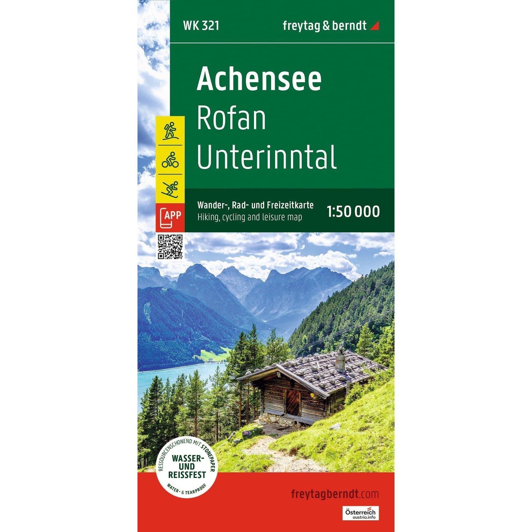
Achensee – Hiking and Biking Map is a detailed map of the Achensee region in Tyrol, Austria, at a scale of 1:50,000. The map covers popular hiking areas such as Rofan, Unterinntal, Karwendel, and parts of the Northern Alps, and is designed for hiking, biking, and outdoor activities.
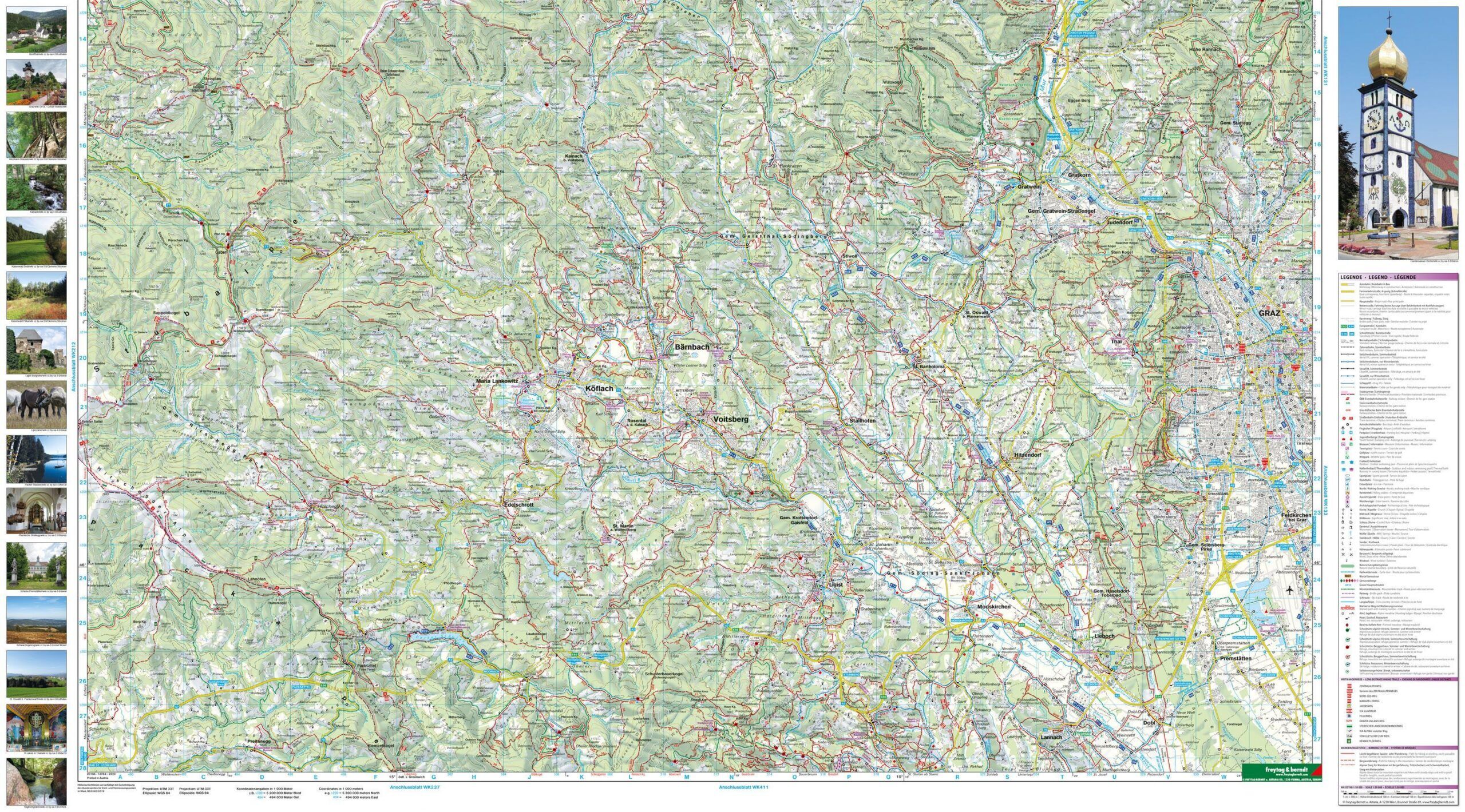
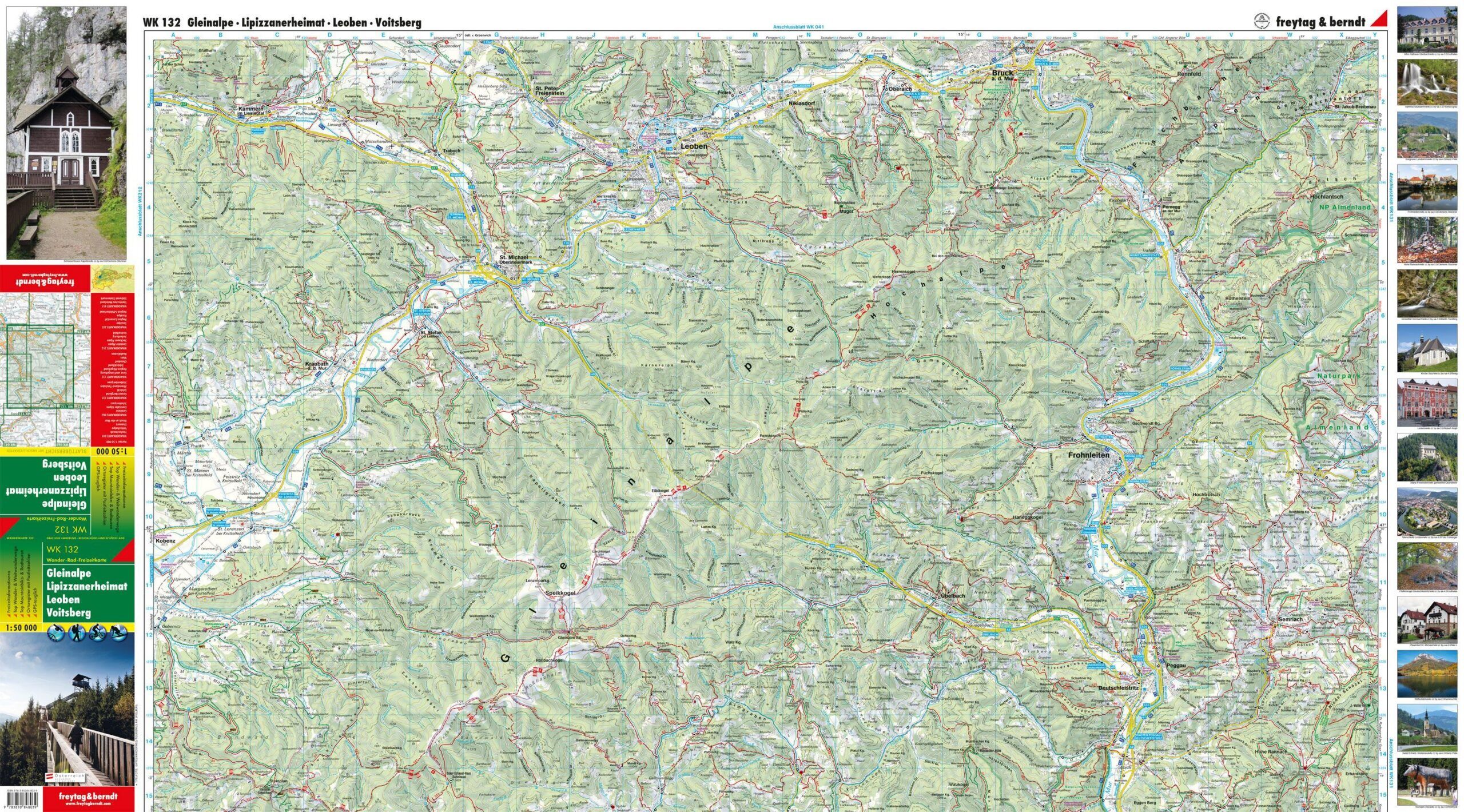
The map shows marked hiking trails, long-distance routes, cycling routes, and mountain bike trails, and provides a good overview for planning both short hikes and longer adventures in the mountain areas around Achensee. The map also includes tourist information and marks points of interest and scenic viewpoints.
For winter use, the map also shows ski trails, cross-country ski trails, ski resorts, lifts, and other relevant information for year-round activities.
The map features a GPS grid and is made of a durable material that is both water-resistant and tear-resistant, making it well-suited for active use on outdoor trips.
The map is published by Freytag & Berndt, one of Europe’s leading publishers of hiking, cycling, and recreational maps. This is a fold-out map in a convenient size, easy to carry in a backpack or bike bag.
The map was published in 2026.
