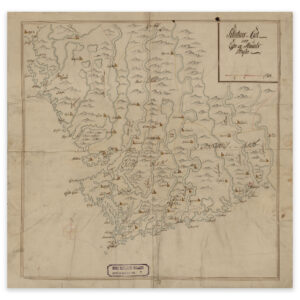

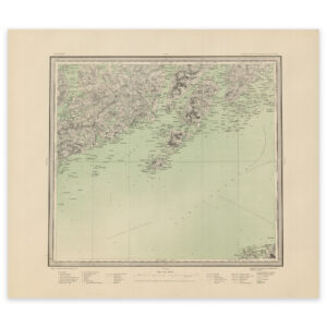
 Svolvær 1902
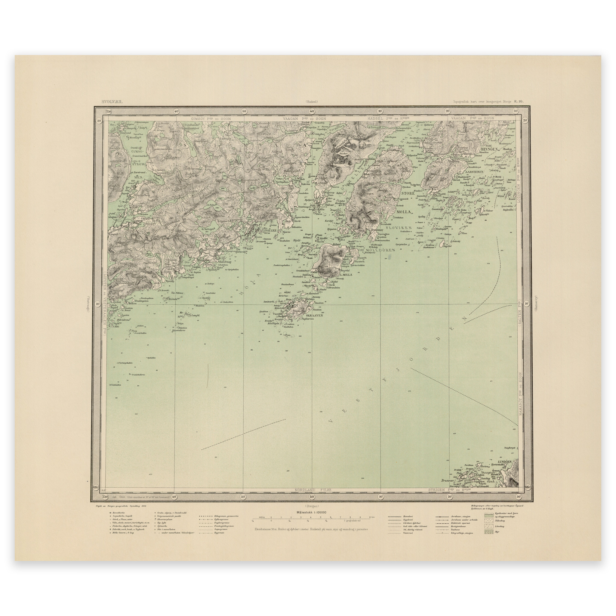


Svolvær 1902
This map from 1902 covers the area of Svolvær, Skrova and parts of Vestfjorden. The map is delivered in its original size of 59.4 x 51.2 cm. The size with frame and passe-partout is 77.4 x 70.2 cm. Would you like the map in a different size? Just get in touch – we’ll be happy to give you a quote for customization.