
Description
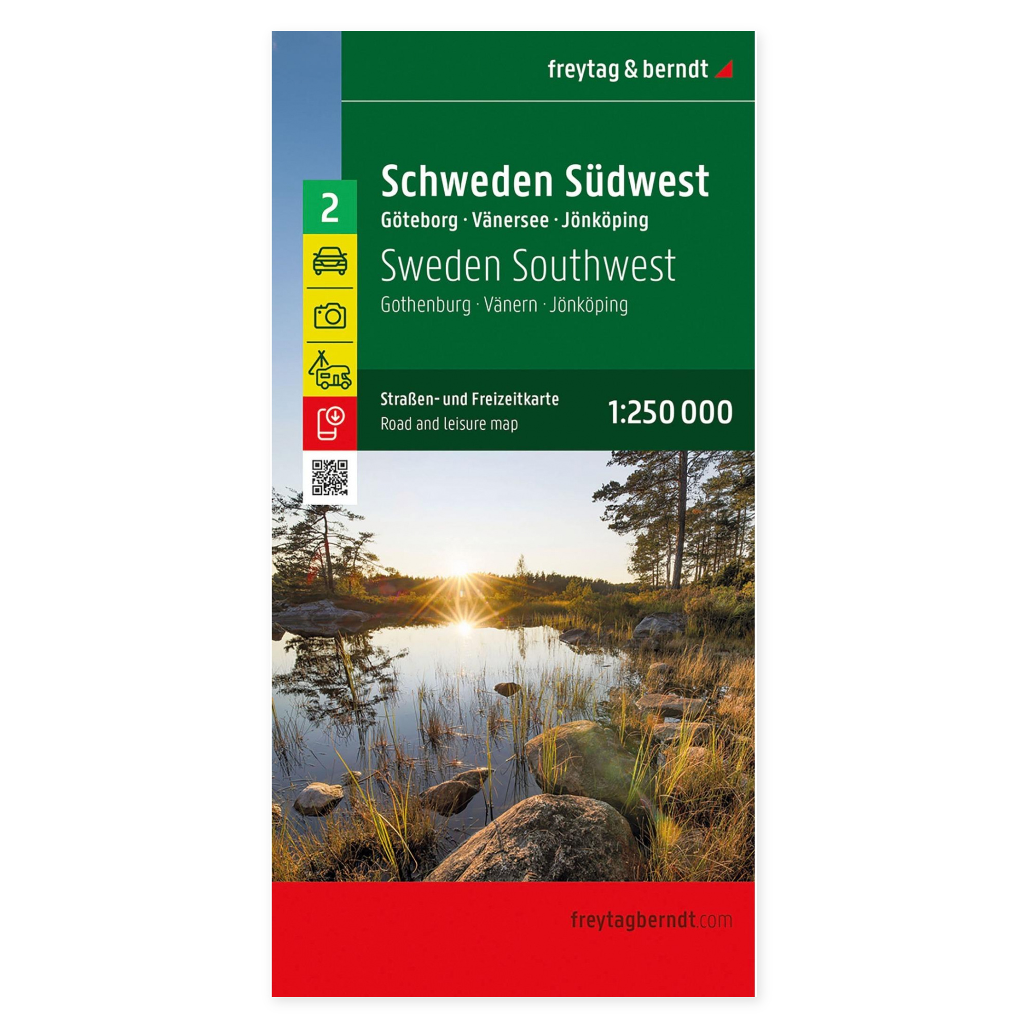
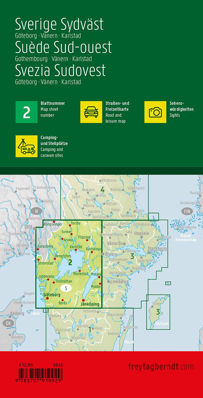
This is a detailed and clear road map of southwest Sweden, covering the area around Gothenburg, Lake Vänern and Karlstad at a scale of 1:250,000. The map is designed for travelers by car, motorcycle or caravan and provides a clear representation of both main roads and smaller regional roads.
The map image shows distances, tourist attractions and landscape features, making it easy to plan routes in an area that offers great variety – from the archipelago outside Gothenburg to the lake landscape around Lake Vänern, Sweden’s largest lake. Campsites and motorhome sites are clearly marked, making the map particularly suitable for camping and motorhome holidays.
The map contains city maps of Gothenburg and Oslo, as well as a comprehensive place index with postcodes for quick and precise orientation. The precise cartography makes the map just as useful while traveling as in the planning phase at home.
This map is sheet 2 in the map series Sweden, which in total consists of five regional map sheets covering the entire country.
The map is in German, but can easily be used by travelers with no knowledge of German. Road maps are mainly based on symbols, road numbers and place names and provide quick and intuitive orientation regardless of language.
The map is published in 2026 by freytag & berndt, printed in Austria, and is delivered as a foldable road map in format approx. 123 × 94 cm unfolded.