Description
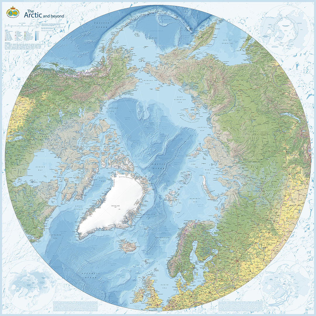
A large wall map of the Arctic
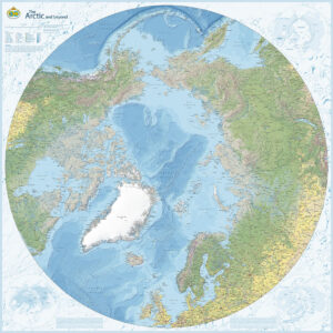
The Arctic and beyond by the Norwegian Polar Institute provides an overview of the Arctic and surrounding regions. It covers land and sea north of 50°N, showing the geographical connections between the North Pole, Svalbard, Greenland, North America, Europe and Asia.
The scale is 1:10,000,000. The map is suitable for a home, office or classroom, and for exploring polar geography.
Unfolded poster edition
This is the unfolded wall map, measuring 93.4 × 93.4 cm. It is supplied rolled, without a frame. Map text and place names are in English. Published by the Norwegian Polar Institute; supplier reference 711903.
Explore more maps and books from the Norwegian Polar Institute.