
Description
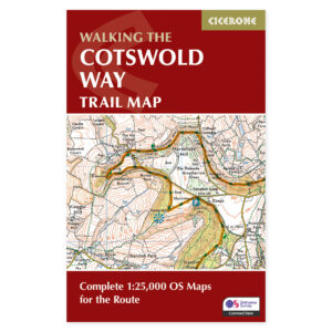
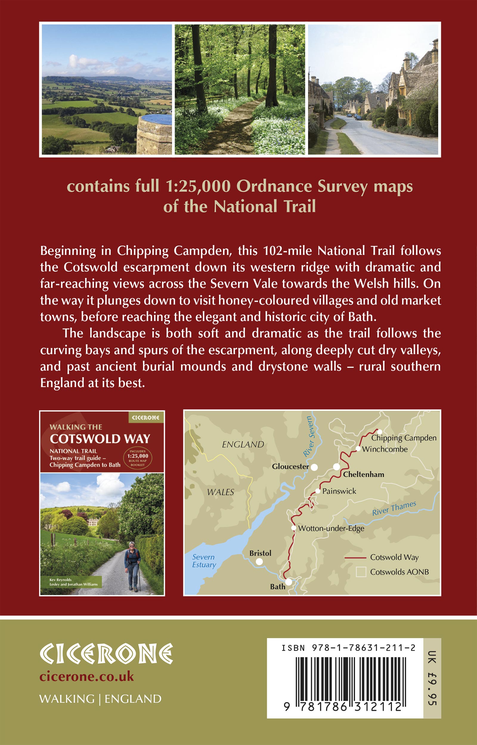
Map coverage extends from Chipping Campden to Bath.
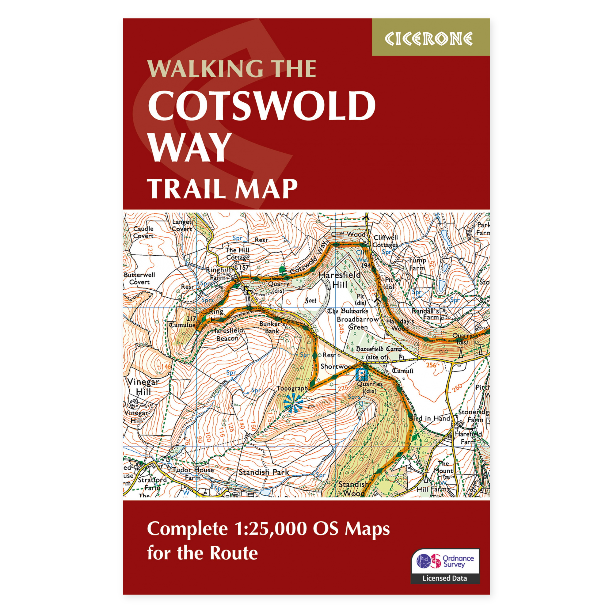
The Cotswold Way follows the ridges through a landscape characterized by limestone, historic villages, and expansive views over the areas west of the hills. This map booklet illustrates the entire National Trail route up to Bath, providing a comprehensive overview useful for both long-distance planning and selecting individual stages.
OS maps in detailed hiking scale.
Ordnance Survey maps at 1:25,000 scale depict the trail and surrounding landscape. The booklet is usable in both hiking directions and includes an excerpt of the map legend. Its compact format facilitates easy navigation to the correct map page en route, eliminating the need for multiple separate map sheets to cover the entire planned hike.
The map booklet as a separate product.
This product comprises the map section, primarily offering navigation and overview. A separate Cicerone guide to the Cotswold Way provides ongoing route descriptions and more extensive assistance with execution. The map booklet is included in the relevant guidebook, so please verify your existing materials if considering purchasing both for the same trip.
For an extended trip or multiple shorter visits.
These maps are equally useful whether you are traversing the entire trail or exploring a section near your accommodation. The hills present several ascents, although the area is primarily a cultural landscape. Combine the map coverage with updated information on transport and accommodation when selecting stages and determining your travel duration.
A long tradition of hiking guides.
Cicerone has published guidebooks since 1969. The publisher emerged among climbers and mountaineers who wanted to share thorough knowledge of their routes – a tradition that still characterizes these compact books for walking, trekking, and other outdoor experiences.
About this edition.
Author: Kev Reynolds. English language. 48 pages. Second edition, published in 2024. ISBN 9781786312112.